Los Angeles County, California
Los Angeles County, California is a true outdoor lover's delight. From its majestic mountain peaks to its stunning beaches, the county has something for everyone. There are numerous trails and pathways for hikers and bikers of all skill levels, and plenty of opportunities for kayaking, rock climbing, and other activities. In addition, there are also plenty of opportunities for fishing, camping, and other recreational activities. No matter what kind of adventure you're in the mood for, Los Angeles County has something for you to enjoy.
Top Spots in and near Los Angeles County
-
Topanga, California
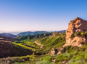
Eagle Rock in Topanga State Park
4.45.99 mi / 1106 ft gainEagle Rock is located in Topanga State Park in the Santa Monica Mountains, and it is a unique formation that provides an amazing panoramic view of Santa Monica. On a clear day, the Catalina Islands and Palos Verdes Peninsula are visible. You can park on along the street of Entrada Rd. or pay $10 ...Read more -
Topanga, California
Parker Mesa Overlook via Trippet Ranch
4.06.75 mi / 1181 ft gainThis is a 6.8 mile round-trip hike that starts at Trippet Ranch in Topanga Canyon. Even though the range in elevation is 400 feet from peak to trough, the up and down trail totals to approximately 1800 feet elevation gain making this a beginner to intermediate adventure. The trail itself is pre...Read more -
Azusa, California
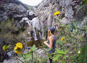
Fish Canyon Falls
2.04.08 mi / 801 ft gainThis trail is currently closed! Learn more on the U.S. Forest Service website. Follow Encanto Parkway towards the hills until you come to a junction with a sign labeled "trail" that points towards a parking lot to your right. Parking is free, though on weekends it may be difficult to find a spot...Read more -
Los Angeles County, California
Bikepack Catalina Island
5.043.5 mi / 5700 ft gainThis is a great introductory overnight bikepacking adventure. With restaurants, water, and stores at each end of the ride, your packing list is minimal. Head out on Saturday morning and make it back in time for dinner on Sunday evening. Packing List Your Bike – I did this ride on my drop bar grav...Read more -
Laguna Beach, California
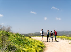
Hike the West Ridge Trail
5.01.5 mi / 150 ft gainBeginning at Alta Laguna Park at Top of the World, the West Ridge Trail is a popular starting (and ending) point for adventures into the Laguna Coast Wilderness, leading to trails and areas like Car Wreck, Big Bend, and Willow Canyon. You can also do it in reverse from the north. The ridge itself...Read more -
Laguna Beach, California
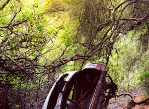
West Ridge to Car Wreck Trail and Mathis Canyon Loop
4.53.31 mi / 856 ft gainThere are numerous ways to incorporate the Car Wreck trail into a larger loop through the Laguna Coast Wilderness and Aliso Canyon Park, but a common route is to begin at Alta Laguna Park at "Top of the World" in Laguna Beach. Take the West Ridge Trail .5 miles, bearing right onto the marked Car...Read more -
Laguna Beach, California
Surf Brooks Street Beach
5.0Brooks Street Beach is just a couple of blocks off the Pacific Coast Highway in Laguna Beach. Parking can be tricky, so be forewarned that you may need to walked a few blocks. Winter can be good, but during the summer and big south swells are when you want to go surfing, so be sure to check out ...Read more -
Silverado, California
Hike to Black Star Canyon Falls
4.87.5 mi / 913 ft gainWaterfalls in Orange County are far and few between, with the best lying near and inside the Cleveland National Forest. Black Star Canyon Falls are some of the best just after a rain if you are heading out during a dry time of the season you should still expect to see some water. Free parking, ea...Read more -
La Cañada Flintridge, California
Teepee Trail
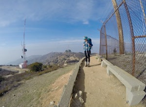
5.02.55 mi / 1145 ft gainHidden in the small community of La Canada, California, the trailhead is pretty hidden! From the 210, take the exit for Highway 2/Angeles Crest Highway. Head north (towards the mountains) for about a mile. As the highway begins to curve, you will come across a small side-street, Harter Lane. Turn...Read more -
Los Angeles, California
Verdugo's North Ridge Trail
12.7 mi / 2684 ft gainThe Verdugo Mountain Range is a small, rugged range spanning across the northeast end of the San Fernando Valley from Sun Valley to Glendale. With close to 50 miles of graded and well-maintained trails, the Verdugos are surprisingly underutilized and make a great place for someone looking to esca...Read more -
Los Angeles, California
Verdugo Mountain Traverse
5.012.13 mi / 0 ft gainThe Verdugo Mountain Range is a small, rugged range spanning across the northeast end of the San Fernando Valley from Sun Valley to Glendale. With close to 50 miles of graded and well-maintained trails, the Verdugos are surprisingly underutilized and make a great place for someone looking to esca...Read more -
Laguna Beach, California
Exploring Pearl Street Beach's Arch Rock
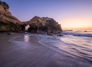
4.0Pearl Street Beach is a great spot to just chill and watch (and photograph) the sunset with friends and family. Parking for the beach can be found on S. Coast Hwy (the 1) and is meter parking. There is also free, but limited parking available along the smaller streets closer to Pearl Street Beach...Read more -
Los Angeles, California
Verdugo Peak via Hostetter Fire Road
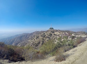
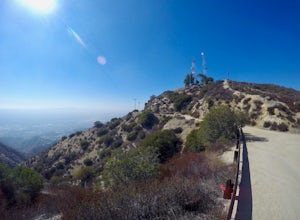
5.07.39 mi / 1627 ft gainVerdugo Peak, at 3000 feet, is accessible from multiple directions and trails along the Verdugo Range. The most direct route to the top is Hostetter Fire Road, a 3.6-mile hard-packed dirt trail that climbs 1600 feet to the 3,126-foot summit. The hike begins at the dirt parking lot off of La Tuna ...Read more -
Los Angeles, California
Hike to Vanalden Vista
2 mi / 300 ft gainTo get to the trailhead take Vanalden Ave until it dead ends. Follow the trail at the end of the road as it winds up into the mountains and to the left. You can easily find the trail on Google Maps, so you can use this as a guide. The trail will fork to the left after half a mile. The trail, Vana...Read more -
Los Angeles, California
Sepulveda Basin: Upstream Of Balboa
4.03.7 mi / 75 ft gainSepulveda Basin: Upstream Of Balboa is a loop trail that takes you by a river located near Encino, California.Read more -
Laguna Beach, California
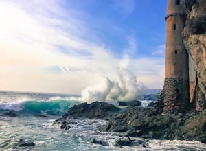
Explore Laguna Beach's Pirate Tower
4.4To find this little hidden treasure, put Victoria Beach into your phone as your destination and park for free on S Coast Highway anywhere between Sunset Terrace, McAulay Place, or Victoria Drive. Make your way down any of these streets toward the beach and you will see stairs going down at the en...Read more

