Lompoc, California
Looking for the best chillin in Lompoc? We've got you covered with the top trails, trips, hiking, backpacking, camping and more around Lompoc. The detailed guides, photos, and reviews are all submitted by the Outbound community.
Top Chillin Spots in and near Lompoc
-
Santa Barbara, California
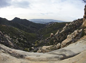
La Cumbre Peak via Tunnel Trail
9.96 mi / 3310 ft gainTunnel Trail is a great way to get to the top of La Cumbre Peak. You get to the trailhead by taking Tunnel Road until it dead ends at a large water tower, there you can park your car and start on foot. You take Spyglass Ridge Road up which is a paved fire road until it becomes dirt when you get o...Read more -
Montecito, California
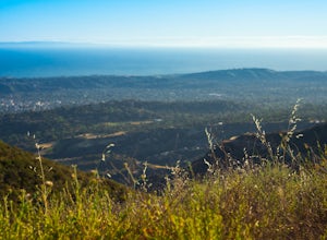
West Fork of Cold Spring Trail
3.45 mi / 1135 ft gainIf you love the mountains above Santa Barbara but hate the crowds, stick to the canyon trails on the east side. The trails running up Cold Spring canyon offer a variety of experiences without all the noise. To find the West Fork of Cold Spring Trail, take the Olive Mill Rd. exit from the 101 fre...Read more -
Santa Barbara County, California
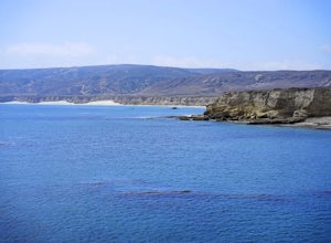
Water Canyon Campground
3.28 mi / 128 ft gainYou can get a wonderfully detailed description of what to expect from the Channel Islands/Santa Rosa Island and how to get there from fellow Explorer Michael Wigle's "Beach Camp on Santa Rosa Island" adventure (which I highly recommend you check out for the information and the photography, so I'm...Read more -
San Luis Obispo, California
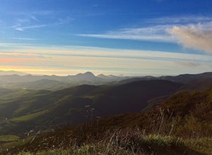
Mountain Bike Cuesta Ridge
5.07 mi / -1600 ft gainStart at the parking lot directly off of Highway 101, head up TV tower Road for 2.8 Miles and a 900' climb from 1500' to 2400'. The trail is an old fire road that has degraded over the years and is full of potholes. Starting October 2015, the road has been closed to vehicles as its being repaved ...Read more


