Loch Leven Lakes, California
Looking for the best chillin in Loch Leven Lakes? We've got you covered with the top trails, trips, hiking, backpacking, camping and more around Loch Leven Lakes. The detailed guides, photos, and reviews are all submitted by the Outbound community.
Top Chillin Spots in and near Loch Leven Lakes
-
Carson City, Nevada
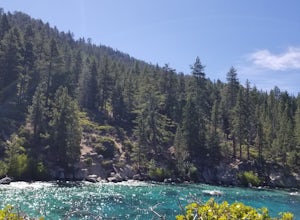
Hike to Secret Cove
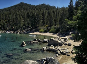
5.00.9 mi / 209 ft gainTake a short little hike down from HWY 28 to Secret Cove to relax on the beach on sunbathe on rocks. The water is incredibly clear and has different shades of turquoise. There are many rocks to climb on and the water is great for swimming. It gets crowded early, and is a nude beach, so plan accor...Read more -
South Lake Tahoe, California
Cascade Falls
4.81.32 mi / 98 ft gainStarting out at the Bayview Trailhead you will make your way out through the campground towards the trail. Once you find the trail it is a simple way to the falls. It starts out as a wide trail and winds through the pine and fir trees. You will come to some stone steps as the trail narrows for th...Read more -
South Lake Tahoe, California
Backpack to Eagle Lake and Dick's Lake
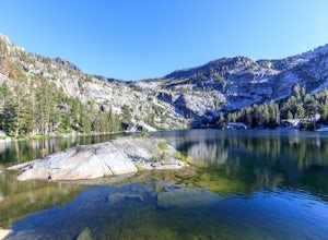
4.513 mi / 1500 ft gainGet ready to get your lake on! This backpacking trip will take you 13+ miles through awesome scenery to several alpine lakes.Starting at the Bayview Campground, off of HWY 89, this hike follows the Granite Lake Trail along a difficult climb. Don't let the climb discourage you! As you climb, the v...Read more -
South Lake Tahoe, California
Hike to Snow Lake in Desolation Wilderness
5.05 miThis wonderful alpine lake is a relatively short hike in Desolation Wilderness and is a perfect introduction to off trail exploration. This area lacks the crowds that other lakes in Desolation garner because most maps don't show the trail leading to the lake. Although there is a rough trail, the ...Read more -
South Lake Tahoe, California
Lower, Middle, and Upper Velma Lakes
3.010.14 mi / 2316 ft gainThe hike starts at Bayview Trailhead (Latitude: 38.938619 | Longitude: -120.14197). A wooden sign points right to "Desolation" and left to Cascade Falls. Follow the sign towards Desolation. The first 3/4 mile is comprised of switch-backs that lead to a high point with a spectacular view of Lake T...Read more -
South Lake Tahoe, California
Explore Lake Tahoe's Vikingsholm Castle
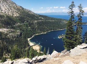
4.0The drive to the location of Vikingsholm was beautiful with spectacular views of Lake Tahoe and Emerald Bay, when approached from South Lake Tahoe. The hike down the hill to see this gem was worth it but could be hard for some (because the only return is up this somewhat steep path with switchbac...Read more -
El Dorado County, California
Camp at Ice House Reservoir
4.01 mi / 1 ft gainDesolation Wilderness is just west of Lake Tahoe, a part of Eldorado National Forest. It's a very popular backpacking destination as the PCT and Tahoe Rim Trail both run through the area. There are what seems to be endless amounts of mountain lakes, creeks, and rivers that run through this area w...Read more -
Carson City, Nevada
Hike to Skunk Harbor
4.5The parking for Skunk Beach is very limited and a little difficult to find. Make sure you get there early if you want a spot. The parking is a turnoff along highway 28, about two miles north of the junction with highway 50. There is no trail sign or anything but there is an old green pipe gate wh...Read more -
South Lake Tahoe, California
Baldwin Beach
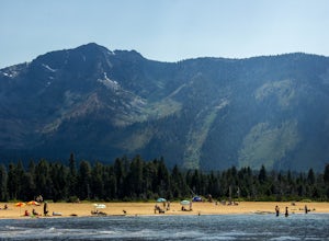
4.5Baldwin Beach offers a half mile of views of Lake Tahoe and the Sierra Nevada mountains. People come to this beach to relax and picnic. This is also a popular launch spot for those kayaking or stand up paddling to Emerald Bay. This beach is on national forest land and has a parking fee of $8.00...Read more -
Grass Valley, California
Photograph a Sunset on Wolf Mountain
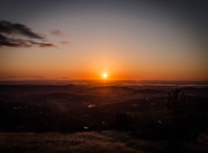
5.0While all of the hiking trails to the Wolf Mountain summit cross private land, Wolf Mountain Road provides public access to several excellent viewpoints overlooking the Central Valley and the nearby ruins of old radio towers.To get there take McCourtney Road west from CA Highway 49/20 and go 3.2 ...Read more -
Kyburz, California
Backpack to Smith Lake, Desolation Wilderness
5.05.6 mi / 1750 ft gainTo get to the Twin Lakes Trailhead from the Bay Area/Sacramento, head east on HWY 50 past Kyburz for 4 miles until you see the left-hand turnoff for Wrights Road. If coming westbound on HWY 50, this will be a right-hand turn 5 miles past Strawberry. Follow this paved road for 8 miles (watch for p...Read more -
South Lake Tahoe, California
Chillin at Lake Tahoe's Kiva Beach
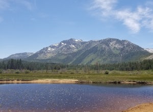
4.7Kiva is a secluded sandy crescent beach flanked by a beautiful meadow and mountain backdrop. This beach is rarely crowded and has free parking unlike other beaches in Tahoe. Kiva is a great place to bring dogs and is actually well known as a dog beach. Kiva is also accessible from the bike trail...Read more -
Glenbrook, Nevada
Catch a Sunset at Cave Rock
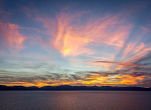
4.70.8 mi / 127 ft gainThis short hike is just off of highway 50 and provides one of the best views of Lake Tahoe. From South Lake Tahoe, head north on Highway 50 past Zephyr cove until you see Cave Rock Drive. Take this road until it dead ends and park in the small gravel lot. After following the trail out of the park...Read more -
South Lake Tahoe, California
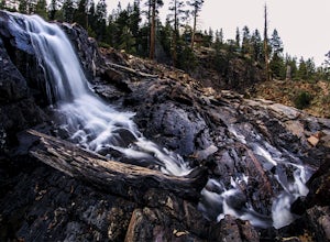
Photograph Fallen Leaf Lake's Cascading Falls
5.0This amazing waterfall is right off the road near the Fallen Leaf Campground. Once you enter the campground keep driving straight just a bit further and you will see a pull off on the right hand side. Pull off here and you should see the cascading waterfalls between the trees. Park here, get you...Read more -
South Lake Tahoe, California
Camp at Fallen Leaf Lake
5.0Fallen Leaf Lake is truly one of the more beautiful places in California. Separated from Lake Tahoe by just a one-mile strip of land, it feels worlds away from the crowds and fuss. The campground has over 200 sites that can be reserved here. There are endless hikes nearby including Mount Tallac a...Read more -
Reno, Nevada
Jones Creek Loop
1.5 mi / 335 ft gainNestled in a forested area on the eastern slope of the Sierra Nevada, Galena Creek Regional Park is seven miles up the Mt. Rose Highway from the intersection with I-580. Galena Creek flows through the park creating separate north and south portions of the park, and the Jones Creek Loop is a great...Read more

