Lassen Volcanic, California
Looking for the best photography in Lassen Volcanic? We've got you covered with the top trails, trips, hiking, backpacking, camping and more around Lassen Volcanic. The detailed guides, photos, and reviews are all submitted by the Outbound community.
Top Photography Spots in and near Lassen Volcanic
-
Burney, California
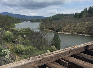
"Stand by Me" Bridge
4.0The "Stand by Me" bridge is located in Northern California about 20 miles north of Lassen National Forest and two and a half miles (2.4 mi) from Burney Falls at McArthur-Burney Falls Memorial State Park. The bridge is approximately 7.5 miles north of Burney, CA. From the town of Burney, take Hw...Read more -
Burney, California
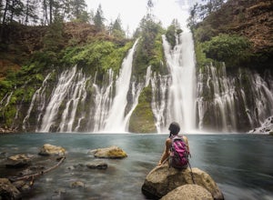
Burney Falls
4.90.97 mi / 82 ft gainBurney Falls can be seen right from the parking area, but this scenic loop is a great hike for all levels of hiking ability. Heading out on this trail will take you to the base of this 129 foot tall waterfall. The Hike Burney Falls has a 1.3 mile loop trail that takes approximately 30 minutes ...Read more -
Burney, California
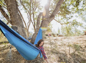
Northshore Campground
The name of the campground, Northshore Campground, speaks for itself. It's located on the northern side of Lake Britton, across the water from the main state park camping area. This is nice for us as it's easier to get a spot, and it's much quieter. Campground Reservations It's a PG&E campgr...Read more -
Round Mountain, California
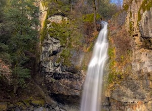
Potem Falls
5.00.58 mi / 151 ft gainPark in the pull-out on Fenders Ferry Road. There you will find the Potem Falls trailhead. The hike is only 0.6 miles long--you'll likely spend more time enjoying the falls than getting there! Bring your swim gear if you want to jump in the pool. The trail is dog-friendly and open March-October.Read more


