Larkfield-Wikiup, California
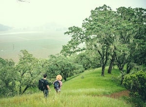
For outdoor adventures in Larkfield-Wikiup, California, one of the top attractions is the Shiloh Ranch Regional Park. This must-visit location offers a 8-mile hiking trail that winds through oak woodlands, grasslands, and Douglas Fir forests. The trail is moderately difficult, making it a challenging yet enjoyable trek. Along the way, hikers can spot the park's varied wildlife and take in scenic views of the Santa Rosa Plain. The park also features unique rock formations and a pond. Another popular outdoor activity is bird watching at the nearby Mark West Creek. This area is home to a variety of bird species and offers a peaceful setting for a leisurely walk. Remember, the best trails and outdoor activities are those that allow you to appreciate the natural beauty of Larkfield-Wikiup.
Top Spots in and near Larkfield-Wikiup
-
Calistoga, California
Hike the Oat Hill Mine Trail
5.08.3 miThe incline on this trail begins pretty much right away and is fairly gradual for the entire hike, some of it is quite rocky, making this an easy to moderate level hike. However, with some shade (probably wouldn't attempt it on a hot summer day) and the sweeping views of the valley that get bette...Read more -
Calistoga, California
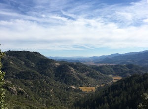
Hike Bald Hill in Robert Louis Stevenson State Park
3.2 mi / 1200 ft gainBald Hill is the first serious peak/summit that can be reached via the Oat Hill Mine Trail as it breaks from the more popular loop and heads into the heart of Robert Louis Stevenson State Park. To get there you can either begin at the less frequently used trailhead at Picket and Rosedale Roads he...Read more -
Calistoga, California
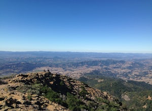
Hike Mount Saint Helena
4.310 mi / 2100 ft gainDrive north from Napa following Rt 29, through Calistoga and up into the forest. After passing the sign for Robert Louis Stevenson State Park, and just over the crest, there is a parking area on the right side of the road, opposite the trailhead on the left. Parking fills up by mid-morning so get...Read more -
Calistoga, California
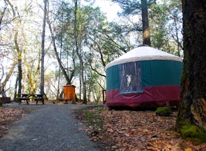
Camp at Bothe-Napa Valley SP
4.5Looking for a romantic getaway but you’d prefer to spend your nights around a campfire? This adventure is for you. This beautiful Napa Valley campground has it all – 10 miles of hiking trails, 1,900 acres to explore, and…new yurts! Yurts are basically cool circular tents that allow you enjoy the ...Read more -
Guerneville, California
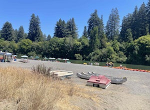
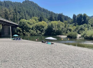
Johnson's Beach
Johnson's Beach is a public beach located on the Russian River in Guerneville, California.Read more -
Kenwood, California
Pony Gate-Canyon Loop
4.02.17 mi / 568 ft gainThe Pony Gate-Canyon Loop within Sugarloaf Ridge State Park is a new favorite of mine on my list of family and kid-friendly hikes. Our little girls did great with this hike and loved it. If you can get moving early in the day and begin your hike around breakfast time, you might find there are few...Read more -
Santa Rosa, California
Hike Crane Creek Regional Park
4.03.5 miWith multiple loops of varying length, this park is great for anyone looking for a casual hike around a beautiful area in the foothills of Rohnert Park. Crane Creek has nice secluded picnic areas next to the creek in the cover of willow, alder, buckeye and bay trees. There's also an 18-hole disc ...Read more -
Guerneville, California
East Ridge - Pool Ridge Loop
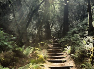
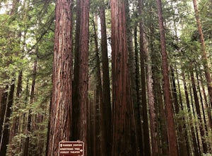
4.53.37 mi / 810 ft gainThis park most resembles Muir Woods, and if you're looking to get out of the tourist trap, head to Armstrong Redwoods and make a day of it. This 3-mile hike takes off from the sign pointing to East Ridge Trail. As you begin a slight climb up the trail, you'll be under the cover of the redwoods, s...Read more -
Guerneville, California
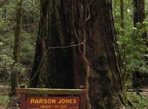
Parson Jones and Colonial Armstrong Redwood Trees
5.0The Parson Jones Tree is the tallest tree in the reserve, measuring more than 310 feet (94 m) in height. This is longer than the length of a football field! Named after a lumberman who chose to preserve this portion of the park in the 1870s, the Colonel Armstrong Tree is the oldest tree in the ...Read more -
Monte Rio, California
Monte Rio Community Beach
Monte Rio Community Beach is located in the Sonoma County town of Monte Rio. The beach nestles up to the Russian River offering a great chance for families to kick back and relax by the water or bring your kayak or stand-up paddle board for fun on the water. Dog-Friendly: Monte Rio Community Be...Read more -
Guerneville, California
Austin Creek State Recreation Area Loop
5.08.65 mi / 1722 ft gainThe hike starts at the Gilliam Creek Trailhead, halfway up Armstrong Woods Road on the way to Bullfrog Pond. There is an $8 fee to enter the park, to be paid at the ranger kiosk as you enter Armstrong Woods. HIKING Begin hiking by descending the Gilliam Creek Trail. The descent is long and ste...Read more -
Saint Helena, California
Hike Bald Mountain, Sugarloaf Ridge SP
5.06 mi / 1540 ft gainPark at the top of Adobe Canyon Road in the gravel parking lot to the left of the ranger kiosk. There is a $7.00 parking fee.There are many options for routes to the top; the easiest of which is mostly paved (although still steep in parts). To take this route, head north out of the trailhead park...Read more -
Occidental, California
LandPaths Grove of Old Trees
5.00.7 mi / 92 ft gainThe Grove of Old trees is a privately-owned preserve in Western Sonoma County that is open to the public year round. It is not large, only about 33 acres, but it makes a wonderful spot to go on a walk and to soak in the beauty of the redwoods. To get there from downtown Occidental, drive West up...Read more -
Occidental, California
Watershed View Trail
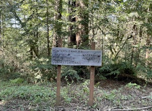
4.01.54 mi / 174 ft gainThe Watershed View Trail is located off of Coleman Valley Road and shares a trailhead with the Hunters Camp and Creekside Loop. This trail is a 1.5-mile out-and-back, which makes for a great trail to get the family out on to get some energy out. Be prepared for a muddy trail if there has been rec...Read more -
Occidental, California
Hunters Camp and Creekside Loop
5.36 mi / 853 ft gainHunters Camp and Creekside Loop is an almost 6-mile loop off of Coleman Valley Road in Occidental, California. This trail can get pretty muddy during the rainy season, but as an added bonus, it makes the waterfall along the Creekside Trail that much better. Dogs are not permitted on this trail.Read more -
Glen Ellen, California
Wolf House in Jack London SP
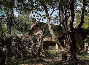
There is a museum in "The House of Happy Walls" which Mrs. London built in redwood grove find park information, exhibits and a small sales area there. A nearby trail leads to Jack London’s grave and to the remains of "Wolf House," London’s dream house which was destroyed by fire in 1913. The par...Read more

