Lakeside, California
Looking for the best photography in Lakeside? We've got you covered with the top trails, trips, hiking, backpacking, camping and more around Lakeside. The detailed guides, photos, and reviews are all submitted by the Outbound community.
Top Photography Spots in and near Lakeside
-
San Diego County, California
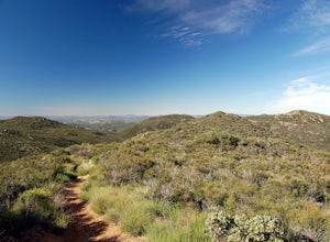
Hiking the Laguna Hills via the PCT
5.020 mi / 2000 ft gainThis trail is well-maintained, but gets a little rocky on the PCT, and the Chariot Fire burn-zone between Penny Pines and Hayes peak will have a few downed trees and some overgrown grasses. On the other hand, the trail network of the BLT is confusing to follow as the entire network is named "Big ...Read more -
San Diego County, California
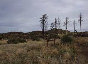
Hike Garnet Peak Trail
3.02.6 mi / 500 ft gainWhile there are a few trail options, the designated Garnet Peak Trail begins off of Sunrise Highway at Mile Marker 27.8. There is a small pull-off on the east side of the road with a sign denoting the trail. An Adventure Pass is required for parking in this area of Cleveland National Forest.The f...Read more -
Mount Laguna, California
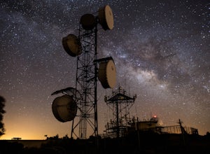
Night Shoot at Mt. Laguna USAF Station
This is a great stop when passing through the Anza Borrego Desert. The drive is very scenic, and passes through Sunrise Highway. Once you turn off the road, it's a very short drive up the hill where you will find a large spot to leave your car. There is a service gate that you can't drive through...Read more -
Carlsbad, California
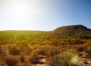
Hike and Fish at Lake Calavera
4.06.24 miLake Calavera Preserve is located in Carlsbad, CA and is home to one of North America's smallest volcanoes. It is the end peak of each trail and is what's known as a "volcanic plug" (cool hardened lava). The northern face of Mount Calavera is that of columnar joints- columns of molded lava. Geolo...Read more -
Campo, California
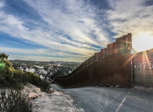
Photograph the Mexican Border on the PCT Southern Terminus
4.5From San Diego head East on Hwy 8 for roughly 60 miles to Buckman Springs Road (Exit 51). Take a right on Buckman Springs road an drive South for 10 miles. Turn right on CA-94 W (Campo Rd) and drive for 1.5 miles. After crossing the railroad tracks turn left on Forrest Gate Road. Take this road f...Read more -
Warner Springs, California
Eagle Rock via the Pacific Crest Trail
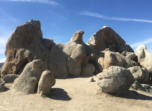
5.06.2 mi / 807 ft gainWith doing more hikes in the SoCal area, I've realized half the battle is just trying to find the damn trailhead.Technically you have 2 ways to enter this trail ... Start from 79 and add a very enjoyable extra 3ish miles, or start from the Warner Springs Fire Station, for a total 7 mile hike.We c...Read more -
Palomar Mountain, California
Hike to Palomar Observatory from the Palomar Observatory Campground
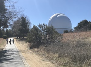
5.04.4 mi / 718 ft gainSituated in the Palomar Mountains of Cleveland National Forest, Palomar Observatory Campground offers many amenities for enjoyable camping and exploring the area. A portion of the campsites loop has been cleared of trees with level cement pads to allow campers to set up their own telescopes. Dr...Read more -
Oceanside, California
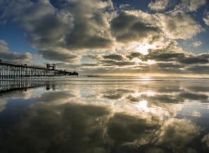
Catch a Sunset at Oceanside Pier
4.8Both sides of the pier are awesome to shoot but depending on the time of the year/sun position one might be better than the other. Super mellow beach to chill out at and watch the sunset. You can get some awesome reflections in the tide. Keep an eye on your gear as there can be sketchy crackheads...Read more -
Oceanside, California
Bike or Skate the Strand
4.01 mi / 0 ft gainOceanside's iconic Strand is a 1 mile long ocean-front road that is perfect for cycling, walking, and running. At various points it is one way or pedestrian only, and is a must-do for any visitors to Oceanside.From the north The Strand begins at Breakwater Way and heads south underneath The Ocean...Read more -
Oceanside, California
Kayak the Oceanside Harbor
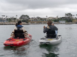
Sea kayaking from the Oceanside Harbor public kayak launch is one of the best ways to experience the Oceanside coast and the Pacific Ocean. There is ample parking along North Harbor Drive with the public kayak launch well-marked on the street. You can paddle around the harbor or you can go out pa...Read more -
Borrego Springs, California
Hike to Maidenhair Falls via Hellhole Canyon in Anza Borrego Desert State Park
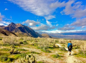
5.1 mi / 974 ft gainThis 5.1 mile hike begins near the visitor center of Anza Borrego Desert State Park and gains 974 feet of elevation while climbing up a canyon to a small waterfall. It is an interesting hike as you can see the plant life change as you get closer to the waterfall. There are parts where the trail g...Read more -
Borrego Springs, California
Hike through Borrego Palm Canyon
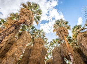
5.03.25 mi / 450 ft gainBorrego Palm Canyon Trail is located just north of the park visitor center, making it a convenient place to begin your exploration of the Anza-Borrego Desert. To reach the trailhead, drive through Borrego Palm Canyon Campground, the largest developed campground in the park, where an $8 day use fe...Read more -
San Diego County, California
Hike to Mountain Palm Springs, Anza Borrego SP
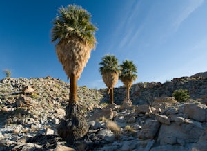
3 mi / 350 ft gainAt first glance the Anza-Borrego desert appears lifeless, a wasteland of rocky plain peaks rising up from Carrizo Plains covered in Cholla cactus and Ocotillo. But one of the surprises is a mirage of California fan palm groves hidden in a series of canyons.The Mountain Palm Springs oasis loop is ...Read more -
Borrego Springs, California
Camping in Anza-Borrego State Park
5.0With over 600,000 acres, Anza-Borrego Desert State Park is the largest state park in the contiguous United States. 500 miles of dirt roads, 12 wilderness areas and miles of hiking trails provide visitors with an unparalleled opportunity to experience the wonders of the Colorado Desert. The park i...Read more -
Borrego Springs, California
Hike the Panorama Overlook in Anza Borrego Desert State Park
1.6 mi / 636 ft gainThis is an out and back 1.6 mile round trip with 636 feet of elevation gain. The top has excellent views of Anza Borrego. It is close to the visitor center.Read more -
Temecula, California
Dripping Springs Trail
4.013.68 mi / 3287 ft gainThe trail immediately begins to climb out of the campground on a well-graded incline. The next mile contains some climbing leading to a set of switchbacks. A long strenuous climb ensues until the 3200' elevation is reached. The trail then makes an easy southward traverse to the basin before resum...Read more

