Top Spots in and near Kings Canyon National Park
-
Independence, California
5.0
2.22 mi
/ 112 ft gain
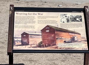
Manzanar Japanese Relocation Site: Manzanar Trail is a loop trail that takes you past scenic surroundings located near Independence, California.
Read more
-
Sequoia National Park, California
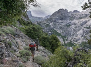
The High Sierra Trail begins at Crescent Meadow in Sequoia National Park, on the West side of the Sierra Nevada range, and ends at Whitney Portal on the East, traversing the highest and most beautiful part of the Sierras. From deep river canyons to high alpine peaks, lakes, and meadows, this hike...
Read more
-
Sequoia National Park, California
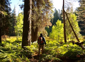
Crescent Meadow is a collection of loops in the Giant Forest in Sequoia National Park. The trailhead is located just past the tunnel log east of General's Highway 198. The main loop is 1.6mi total. However you can take any of the loops to the General Sherman tree 3mi, Tharp's Log trail 0.5mi, or ...
Read more
-
Tulare County, California
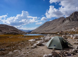
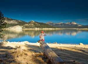
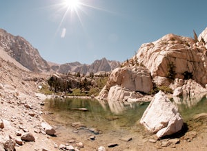
Plan your last night to be spent near Guitar Lake at one of the unnamed lakes just a half mile above it along the trail. You'll find sun late into the afternoon and it serves as a great basecamp to hit Mt. Whitney for sunrise early on your final morning on the JMT.Find out everything you need to ...
Read more
-
Hume, California
5.0
1.71 mi
/ 305 ft gain
Big Stump Loop Trail is a loop trail where you may see wildflowers located near Dunlap, California.
Read more
-
Sequoia National Park, California
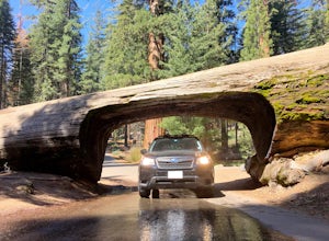
Tunnel log is a massive fallen sequoia across the middle of the road, which is a great photo opportunity for visitors of the national park. The mammoth tree fell over in 1937, but a year later, a car tunnel was carved in the middle of its trunk so vehicles could still pass through.
Although the...
Read more
-
Shaver Lake, California
The paved road ends at the Maxson Trailhead parking lot on the SE side of Courtright Reservoir. The adventure starts with a glance to the left, down a rock-strewn dirt track that leads off further into the wilderness. You're wondering, "Is that the trail?" and "Do I dare?"The Dusy-Ershim Trail of...
Read more
-
Sequoia National Park, California
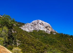
Moro Rock is a granite dome with a staircase leading to the 6,725 foot summit, where you can enjoy a spectacular view of the Great Western Divide. From Generals Hwy, you can drive up Crescent Meadow Road to the parking lot at the base of Moro Rock (summer weekends the road is closed for shuttles ...
Read more
-
Inyo County, California
5.0
20.85 mi
/ 6100 ft gain
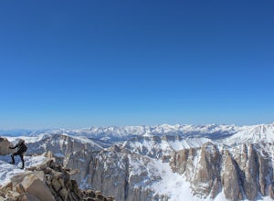
Mt. Whitney is the highest peak in the contiguous United States. It stands over 14,500ft high at its peak (elevation gain of 6100') and it sure feels like it when you are up there.
Getting There
Located just West of Lone Pine, CA you take Whitney Portal Road West for 13 miles all the way to its...
Read more
-
Inyo County, California
5.0
5.88 mi
/ 1883 ft gain
From the parking lot at the end of Whitney Portal Road, look for the trailhead, which is marked with a wooden "gate" that shows the map and description of the trail. Starting out at 8,350 ft in elevation, the trail begins a series of switchbacks that lead you into the Sierra Nevada. Take more br...
Read more
-
Inyo County, California
With over 6,600 feet of elevation gain and class 4 climbing, this is not for the casual hiker, but can provide an excellent challenge to a budding mountaineer.Park your car at Whitney Portal, 12 miles west of the town of Lone Pine, and start up the main Whitney Trail. After 1 mile you will encou...
Read more
-
Inyo County, California
5.0
18.5 mi
/ 6200 ft gain
From the Whitney Trail - beyond trail crest - you will see a big cairn (right side). If you make it to the first "window of Mt. Whitney" you have gone too far. The cairn marks the start of an class 2 use trail up to the Mt. Muir headwall.The headwall is a fun climb with good handholds and has lit...
Read more
-
Inyo County, California
Day 1: We arrived at the Lone Pine Visitors Center at the intersection of HWY 395 and HWY 136 just south of Lone Pine, CA. We issued ourselves our overnight permits to climb Mt. Whitney and picked up our Wag Bags. You can self issue yourself the free permit Nov. 2 through Apr 30. Climbing during ...
Read more
-
Bishop, California
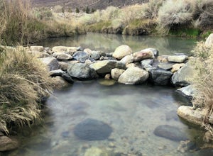
...As many of us enjoy a good hot spring to relax in, I think most will agree that it’s even better when it’s free and out in nature. If you decide to have a little bit more of a luxurious hot spring experience, you can continue to take that road about another mile to the Keough Hot Springs campi...
Read more
-
Inyo County, California
5.0
8.16 mi
/ 3248 ft gain
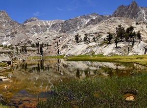
Green Lake via Meysan Lakes Trail is hiked from mid-June to end of September most seasons. Once the snow starts to fall, the road to the trailhead will be closed. A permit is require for overnight. You can obtain the permits online or at the ranger station in Lone Pine. Book online if you plan on...
Read more
-
Inyo County, California
Meysan Lakes Trail is located on the ever popular Whitney Portal Road. Park on the side of the road next to the Whitney Portal Campground. Start the hike by cutting through the campground, and passing some seasonal cabin style residences. Follow the Meysan Lakes Trail signs. The trail cuts throu...
Read more

