Kelseyville, California
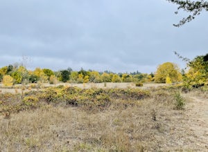
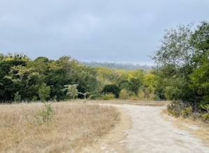
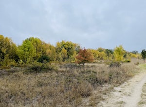
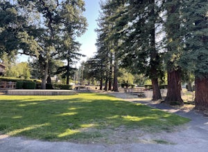
The best trails and outdoor activities in Kelseyville, California, are a must-visit for those seeking top outdoor adventures. The Mount Konocti County Park is a popular destination, boasting a 3.4-mile trail that scales the dormant volcano. The trail is moderately difficult, with a steady incline and rocky terrain, making it a satisfying challenge for hikers. Along the way, you'll pass through dense forests and witness unique rock formations. The trail's highlight is the panoramic view of Clear Lake, the largest natural freshwater lake in California. For those interested in water activities, Clear Lake offers fishing, boating, and birdwatching. Near Kelseyville, the Anderson Marsh State Historic Park is another scenic spot, known for its wetlands and wildlife. Remember, the best outdoor adventures are often the simplest - a hike, a view, and the open sky.
Top Spots in and near Kelseyville
-
Cazadero, California
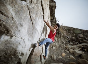
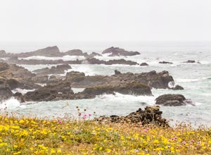
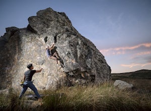
Bouldering at Fort Ross
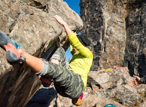
3.0The main boulder is right there on the water. You literally have to watch out for the waves coming up on the shore otherwise they might wipe out your camp. But it's an awesome spot with even more awesome routes. There's also a traverse along the back wall if you're looking for something a little ...Read more -
Jenner, California
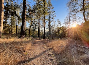
Hike the Salt Point Trail
3.73 mi / 100 ft gainThere are numerous points at which you can enter the trail from Highway 1, but on the north it begins as the Salt Point / Stump Beach Parking area and proceeds 1.2 miles to the Visitor Center (and south entrance) at the Gerstle Cove State Marine area, one of the first underwater state parks in Ca...Read more -
Santa Rosa, California
Hood Mountain Summit Via Lower and Upper Johnson Ridge Trails
5.95 mi / 2054 ft gainHood Mountain Summit via the Lower Johnson and Upper Johnson Ridge Trails is a 6 mile out-and-back trek located in Santa Rosa, CA. The trailhead starts at the Pythian Road parking lot, accessed from Highway 12. The hike takes 3.5 to 4 hours to complete and is considered strenuous. All trails are...Read more -
Sebastopol, California
Laguna de Santa Rosa Loop Trail
4.03.95 mi / 115 ft gainLaguna de Santa Rosa Loop Trail is a loop trail that takes you by a lake located near Sebastopol, California.Read more -
Santa Rosa, California
Taylor Mountain Loop
4.21.5 mi / 1000 ft gainFrom the northern entrance to the park, you can access an 18-hole disc golf course as well as a number of trails. The Eastern Trail takes you up a steep 1,000 feet to the top of Taylor Mountain, where you can see most of Sonoma County laid out before you. Mt. St. Helena is visible in the distance...Read more -
Sebastopol, California
Thistle - Creek Loop
5.01.45 mi / 69 ft gainThe Thistle - Creek Loop is a loop trail at Ragle Ranch. This trail is used for hiking and running and offers some cover/shade as well as great views of foliage especially in the fall months. This trail is located near Sebastopol, California.Read more -
-
Sebastopol, California
Ragle Ranch Extended Loop
5.01.86 mi / 82 ft gainRagle Ranch Extended Loop is a loop trail where you may see local wildlife located near Sebastopol, CaliforniaRead more -
Sebastopol, California
Ives Park
4.0Ives Park is the oldest park in Sebastopol, California, and is located only 2 blocks from downtown Sebastopol. The park has many picnic tables with barbecues, a baseball diamond, a playground, and a community pool. Amenities: Parking for the park is on the street surrounding the park. There is ...Read more -
Jenner, California
Bouldering at Sunset Boulders
5.00.6 miYou can see the boulders off the left side of the road. Couple of different pullouts you can park at to start your approach. It’s about half a mile from the road all downhill. It’s easy going when you’re on your way, but kind of a pain after you’re whooped from climbing. Bouldering, high balls, ...Read more -
Kenwood, California
Pony Gate-Canyon Loop
4.02.17 mi / 568 ft gainThe Pony Gate-Canyon Loop within Sugarloaf Ridge State Park is a new favorite of mine on my list of family and kid-friendly hikes. Our little girls did great with this hike and loved it. If you can get moving early in the day and begin your hike around breakfast time, you might find there are few...Read more -
Occidental, California
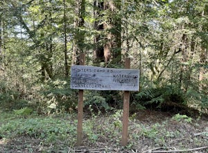
Watershed View Trail
4.01.54 mi / 174 ft gainThe Watershed View Trail is located off of Coleman Valley Road and shares a trailhead with the Hunters Camp and Creekside Loop. This trail is a 1.5-mile out-and-back, which makes for a great trail to get the family out on to get some energy out. Be prepared for a muddy trail if there has been rec...Read more -
Occidental, California
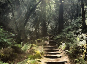
Hunters Camp and Creekside Loop
5.36 mi / 853 ft gainHunters Camp and Creekside Loop is an almost 6-mile loop off of Coleman Valley Road in Occidental, California. This trail can get pretty muddy during the rainy season, but as an added bonus, it makes the waterfall along the Creekside Trail that much better. Dogs are not permitted on this trail.Read more -
Jenner, California
Bouldering at Lamb's Rock, Sunset Boulders
5.0Lamb Boulder, located within the "Sunset Boulders" collection, contains four fun and challenging V2 - V6 bouldering routes. They are: Calambity: V6Rock Scar: V3+Skullcracker: V2 RThe Specialist: V4 Lamb Boulder is located directly across from the Sunset Boulder itself and its trad routes. To get ...Read more -
Occidental, California
LandPaths Grove of Old Trees
5.00.7 mi / 92 ft gainThe Grove of Old trees is a privately-owned preserve in Western Sonoma County that is open to the public year round. It is not large, only about 33 acres, but it makes a wonderful spot to go on a walk and to soak in the beauty of the redwoods. To get there from downtown Occidental, drive West up...Read more -
Philo, California
Camp at Camp Navarro
5.0Camp Navarro is located about 2.5 hours north of San Francisco. This redwood getaway is nestled between branches of the North Fork of the Navarro River. Equipped with a lodge, coffee, shop, water and toilets, Camp Navarro allows you to escape from the stresses of city life while still enjoying a ...Read more

