Goleta, California
The best Trails and Outdoor Activities in Goleta, California offer a variety of scenic and engaging options. One of the top must-visit trails is the Gaviota Peak Trail. This 6.5-mile round trip trail is rated as moderate in difficulty and features a hot spring and panoramic views from the summit. Another popular trail is the Ellwood Bluffs Trail, known for its stunning ocean views and access to a butterfly preserve. For those interested in bird watching and picnicking, the Lake Los Carneros Park is a great choice. The park features a large lake, walking paths, and a historic train depot. Nearby, the Goleta Beach Park offers sandy beaches, fishing pier, and barbecue grills. These outdoor adventures provide a unique and fun way to explore Goleta and its natural beauty.
Top Spots in and near Goleta
-
Maricopa, California
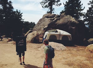
Camp and Boulder at Pine Mountain
Pine Mountain is closed intermittently for the winter season due to snowfall, usually from November through February. Outside of those months, take the Highway 33 north out of Ojai, heading north for about an hour and a half. You’ll see a large turnout as well as a sign reading “Pine Mt Road” on ...Read more -
Ventura, California
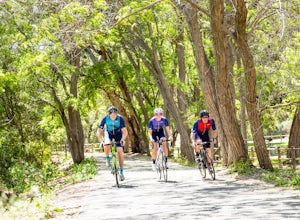
Bike the Ventura River and Ojai Bike Trails
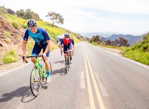
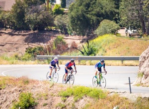
32.6 mi / 1030 ft gainThe Ventura River and Ojai Valley Trail, effectively the same trail, is a gorgeous 32 mile trail that runs from Seaside Park in Ventura to downtown Ojai. It runs along and across the Ventura River and through the Ventura Canyon, with views up and down numerous side canyons and ravines. The trail ...Read more -
Ventura, California
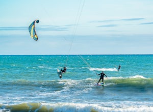
Kiteboard Surfer's Point
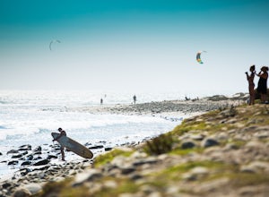
Surfer's Point aka Ventura Point is a well-known kite boarding/surfing (and surfing) spot due to its (when conditions are right) great wave quality, favorable wind direction (sideshore with occasional side-off), friendly locals, rider capacity, and a nearby point break with. When conditions are e...Read more -
Ojai, California
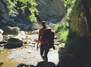
Climb at Wheeler Gorge
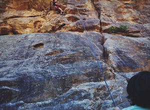
Grab a dozen quick draws, your 60m rope, and head up Highway 33 out of Ojai for 7 miles (One of the routes here describes the crag perfectly, a Riparian Daydream). Drive through one tunnel, and continue on for another mile or two until you reach two tunnels in quick succession. The crag is in bet...Read more -
Ventura, California
Bike the Lake Casitas Loop
1.048.9 mi / 3635 ft gainThe Lake Casitas Loop s a fantastic cycling trail leading from Ventura, California through Ventura Canyon, around Lake Casitas and up over Casitas Pass, down through Rincon Canyon to the ocean and south on Rincon Trail back to Ventura. It covers almost all of the ecological zones and topographica...Read more -
Ventura, California
Bike the Rincon Trail
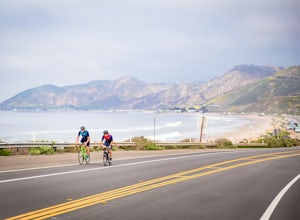
5.028.4 mi / 720 ft gainThe Rincon Trail between Ventura and Santa Barbara is part of the wonderful Pacific Coast Bike Route, and features two-wave paved cycling lanes with beautiful views up and down the central coast. There are numerous places to stop along the way for food and relaxing, including the great seaside to...Read more -
Santa Barbara County, California
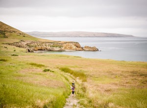
Beach Camp on Santa Rosa Island
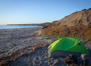
5.019.72 mi / 3097 ft gainChannel Islands National Park is California's least visited National Park. If you visit, you will see many unique plants and animals, including a rare native fox species, and Torrey Pines, only found here and in a small grove near San Diego. This adventure is not for the inexperienced. There is ...Read more -
Santa Barbara County, California
Water Canyon Campground
3.28 mi / 128 ft gainYou can get a wonderfully detailed description of what to expect from the Channel Islands/Santa Rosa Island and how to get there from fellow Explorer Michael Wigle's "Beach Camp on Santa Rosa Island" adventure (which I highly recommend you check out for the information and the photography, so I'm...Read more -
Ventura, California
Bike the Ventura, Santa Paula, and Ojai Loop
48.8 mi / 2081 ft gainThe Ventura - Ojai - Santa Paul loop is a classic half-century loop throughs some of the most beautiful cycling roads on the Central Coast. Beginning in Ventura and heading on the off-road (but paved) Ventura / Ojai trails, this loop then heads into downtown Ojai before following Ojai Valley Road...Read more -
Ventura, California
Surf Ventura Point
4.0Surfer’s Point, off Figueroa Street, includes one of California’s premier surfing and windsurfing spots. A landscaped promenade and the Omer Rains Bike Trail connect this sandy beach to the Ventura Pier. Promenade Park, next to the beach commemorates the site of an ancient Chumash village. Beach ...Read more -
Ventura, California
Bike the Ventura Promenade
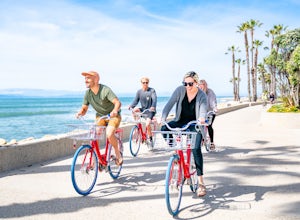
0.5 mi / 0 ft gainThe Ventura Promenade is a .5 mile long biking and walking trail that runs from the Ventura Pier to Sufer's Point, eventually connecting to the Ventura River & Ojai Bike Trail. It is also part of the the larger "Omer Rains Trail" which runs some 3.5 miles to the south through Buenaventura Sta...Read more -
Ojai, California
Rock Climb at Foothill Crag
2 miFrom downtown Ojai, head north on N Signal Street. Head up the hill and turn left onto a gravel road next to a chainlink fence once you get to the top.(There should be a sign that points to "Pratt/Foothill Trailhead.") Continue past a water tank on the right to a trailhead parking area. I've gon...Read more -
Santa Barbara County, California
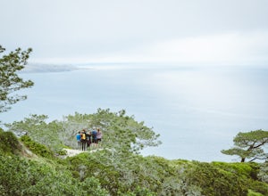
Torrey Pines Trail
4.71 mi / 584 ft gainThe vast diversity of terrain of Santa Rosa Island in the Channel Islands National Park is matched in uniqueness only by its own flora and fauna, in particular the endangered and endemic Torrey Pine. The best way to view and experience these strange, broad trees is via the Torrey Pines Trail, whi...Read more -
Santa Barbara County, California
Lobo Canyon Trail via Santa Rosa Campground
12.03 mi / 984 ft gainThe National Park Service describes this hike in the following: "Strenuous. A spectacular canyon with wind- and water-sculpted sandstone cliffs, a year-round stream, riparian vegetation, and a spectacular coast at its mouth. Well worth the effort." I couldn't agree more with the last sentence...Read more -
Santa Barbara County, California
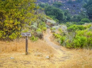
Black Mountain via Cherry Canyon Trail
6.54 mi / 1329 ft gainWords fail in describing the beauty of the Channel Islands National Park and Santa Rosa Island, the second largest of the Channel Islands and perhaps the most diverse in terms of terrain, flora and fauna, and also the only to allow backcountry beach camping. While the opportunities for exploratio...Read more -
Santa Rosa Campground
East Point via the Coastal Road
13.76 mi / 486 ft gainOne could a lifetime exploring, and attempting to describe, the beauty of the Channel Islands National Park and Santa Rosa Island in particular: its wildly diverse terrain, endemic flora and fauna, and also the only of the Islands to allow backcountry beach camping. While the opportunities for di...Read more

