Goleta, California
Looking for the best hiking in Goleta? We've got you covered with the top trails, trips, hiking, backpacking, camping and more around Goleta. The detailed guides, photos, and reviews are all submitted by the Outbound community.
Top Hiking Spots in and near Goleta
-
Maricopa, California
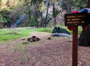
Bear Trap Campground via Gene Marshall/Piedra Blanca Trail
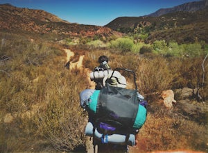
9.59 mi / 2211 ft gainThere's no better feeling then camping out and having a whole site to you and your friends...wouldn't you agree?!?! ...Deep in the Sespe Wilderness in Ojai, California sits a tucked away, well-managed campsite called "Bear Trap Campground". This campsite can be reached at any point of the year a...Read more -
Ojai, California
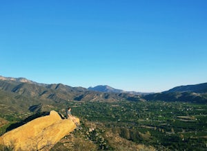
Couch Rock
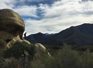
3.51.3 mi / 627 ft gainDriving up Gridley Road away from Ojai you’ll come upon a small parking lot on your left and a gate barring the way to a dirt road. Park here, as close to the mountainside as possible and head onto the trail. Follow the trail until you see pass a bench, and start heading downhill. Keep your eye...Read more -
Ventura, California
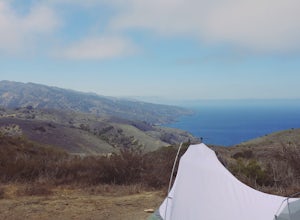
Backpack to Del Norte Campground on Santa Cruz Island
5.07 mi / 700 ft gainDel Norte Backcountry Campground is located on Santa Cruz Island, one of the islands that makes up Channel Islands National Park. It is California's largest island and is almost three times the size of Manhattan. The easiest way to get to the island is to take Island Packers, a ferry service that...Read more -
Ventura, California
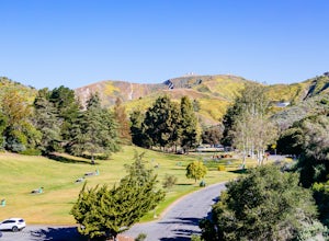
Hike Arroyo Verde Park
3.5 mi / 800 ft gainArroyo Verde Park is a small parked tucked in the hills above Ventura, California, and has a network of trails running up and down the hills surrounding the valley in the center of the park. The entrance to the park is at the intersection of Foothill Road Day Road, east of downtown Ventura. There...Read more -
Ojai, California
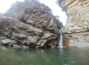
Rose Valley Falls
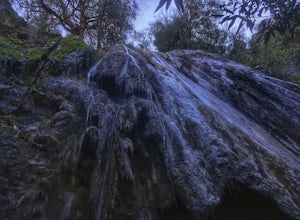
5.00.68 mi / 256 ft gain...It's not often that you come across 100 ft waterfalls. This moderate to easy hike to Rose Valley Falls leads you to one of the tallest waterfalls in the Los Padres National Forest. The hike begins at Rose Valley Campground. If you're not staying at a campsite, park outside the entrance of the ...Read more -
Lompoc, California
Beach Hike to Point Conception Lighthouse
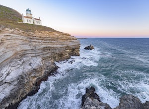
4.09.3 mi / 171 ft gainIt must be approaching low tide to complete this hike! This hike begins at the Jalama Beach Campground. Head out on the beach a couple of hours before low tide and follow it until you reach the lighthouse. It is important to note that the land above the high-tide line, the top of the cliffs, and...Read more -
Ojai, California
Willett Hot Springs via Sespe River Trail
20.08 mi / 2598 ft gainPark at the Lions Camp parking lot. Adventure Passes aren't technically "required" but it never hurts to have one. You can stop at the Forest Service in Ojai (1190 E. Ojai Ave) or stop at the Wheeler Gorge Station on your way up to buy one for $5 for a night. The trail begins at the far side of t...Read more -
Ojai, California
Piedra Blanca Formations
5.05.41 mi / 860 ft gainThese white sandstone formations, splitting out of the forest, are a worthwhile sight as you climb up to gain a great vantage point of the valley. Spend some time exploring the rocks - the nooks & crannies are full of surprises. You can turn this into an overnighter by staying at the campgrou...Read more -
Ventura, California
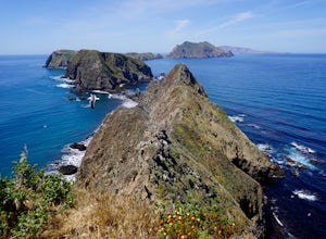
East Anacapa Island Loop
2.31 mi / 269 ft gainLeaving from either Ventura or Oxnard via Island Packers, this full-day hike is in the middle of the Santa Barbara Channel on a small island, about one hour from Los Angeles by car and one additional hour by boat. Without a beach on which to anchor, your boat will pull into Landing Cove and idle ...Read more -
Santa Maria, California
Trail Run, Hike, or Mountain Bike Los Flores Ranch Park
5 mi / 700 ft gainI'm a sucker for a good ridgeline trail, and Los Flores Ranch Park has lots of them. For a solid 5ish mile loop with about 600 ft of elevation gain, take the Manzanita Trail to the Ridge Top Trail for sweeping views of the valley, vineyards, and out to the ocean on a clear day. The Solomon Trail ...Read more -
Santa Paula, California
Santa Paula Punch Bowls
3.66.5 mi / 1037 ft gainThis is a 6.5 mile trail, out and back. Parking is available along Ojai St, and the trail starts at the entrance of Thomas Aquinas College. Follow the paved road that goes around the school, until you reach a fork on the road, then stay right. The trail will take you through Ferndale Ranch, just ...Read more -
Orcutt, California
Hike or Trail Run the Rice Ranch Trail
4.03.2 mi / 400 ft gainHike, mountain bike, or trail run the Rice Ranch Trail in Orcutt, CA. This park is relatively small, but a great place for a hike or run. I did a 3 mile loop and could easily have added on a couple more miles. Hike up to water towers at the top and enjoy views overlooking Santa Maria Valley and o...Read more -
Frazier Park, California
Hike to Conder Observatory (Mt. Piños) from the Nordic Ski Hut
3.32 mi / 457 ft gainAny drive up the I-405N or I-5N is going to result in some pain: Either you leave early enough to avoid traffic, or you are sitting in some slowness for a while. But once you turn onto Frazier Mountain Road from the interstate, you are in a completely different world. It could be 85° in Los Angel...Read more -
Malibu, California
Hike Point Mugu Peak
4.52 mi / 1250 ft gainPoint Mugu State Park offers some amazing rolling mountains, sweeping meadows of tall grass, and beautiful coastal views. I suggest going in the spring. I recently went, and the wildflowers were blooming everywhere. There are campgrounds available in different parts of the park that you can make ...Read more -
Malibu, California
Hike Mugu Peak Loop via Chumash Trail
5.06.5 mi / 1255 ft gainFrom the parking lot at the trailhead, follow the steep trail going up the mountain. This part is quite challenging, so I recommend stretching out your legs before starting the hike. Once you reach the top, you will see your first junction. Go right if you want to go straight for the peak, and th...Read more

