Foster City, California
Looking for the best running in Foster City? We've got you covered with the top trails, trips, hiking, backpacking, camping and more around Foster City. The detailed guides, photos, and reviews are all submitted by the Outbound community.
Top Running Spots in and near Foster City
-
Palo Alto, California
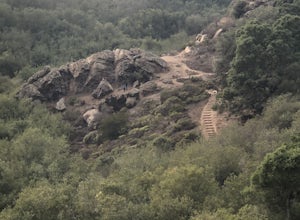
Hike the Arastradero Preserve Loop
3.04.5 mi / 600 ft gainGetting There: From Hwy 280, take the Page Mill Road exit and head West on Page Mill Road, away from Downtown Palo Alto (if you're taking 101, exit on Oregon Expressway). Then turn right on Arastradero Road. There will be a small sign indicating the dirt parking lot on the eastern side of the str...Read more -
Moss Beach, California
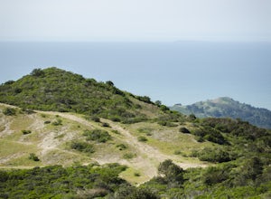
Pillar Point Bluff Loop
4.71.84 mi / 154 ft gainSitting on a 140 acre bluff top, the Pillar Point Bluffs are a simple, easy hike with breathtaking views throughout. The bluffs are 22 miles from San Francisco – a 30 minute drive depending on the traffic. There is a small 10 car or so parking lot off of Airport Blvd, but there are two additional...Read more -
Half Moon Bay, California
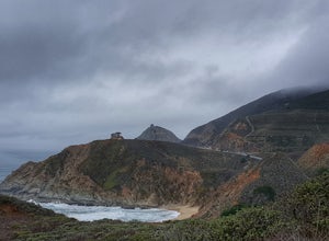
Gray Whale Cove Trail
4.52.23 mi / 367 ft gainGray whale cove trail is a splendid, short, and easy hike for the entire family with beautiful ocean views. The starting point is conveniently located near a parking lot that accesses Montara State Beach. From the south end of the parking lot, follow the trail up through the coastal scrub. Within...Read more -
Half Moon Bay, California
Montara Mountain North & Middle Peaks Loop
4.37.22 mi / 1929 ft gainNOTE: as of 2019, North Peak has been fenced off around the installation of a radio tower and weather station. Additionally, the summit has been found to be a habitat for the endangered San Bruno elfin butterfly. The Gray Whale Cove State Beach is a popular seaside trail that’s just 20 minutes s...Read more -
Moss Beach, California
Cypress Tree Tunnels at Moss Beach
4.50.79 mi / 105 ft gainThe Cypress Tree Tunnels are a quick jaunt from San Francisco (22 miles) and make for a great half-day trip. Getting here depends on traffic, but 30 minutes from the center of the city is doable. Parking is relatively easy. You can either park at the south end of the area at the Cypress Cove entr...Read more -
San Francisco, California
Glen Canyon Park Trail
5.01.76 mi / 394 ft gainGlen Canyon Park Trail is a loop most commonly used for running or hiking in the southwestern side of San Francisco, California. Parking for the loop is street parking, so be sure to take any valuables out of the car with you. Note: There are restrooms available at the Glen Canyon Recreation Ce...Read more -
San Francisco, California
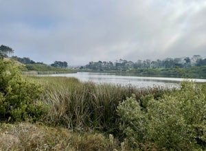
Lake Merced Loop
4.74.53 mi / 180 ft gainLake Merced Loop is a loop trail in the southwestern part of San Francisco. This trail is used for running and walking. You'll see plenty of people getting exercise or taking their dog for a stroll. There are also benches and tables around the loop. The lake itself is fresh water and is used for...Read more -
San Francisco, California
Mount Davidson
4.51.03 mi / 299 ft gainMount Davidson Park is located in the southwestern part of the city nestled between Diamond Heights and Portola Dr. The climb isn't too difficult, but to reach the top of the 928ft summit, you should wear close-toed shoes and be ready for some loose gravel or mud if it's been raining. The hike is...Read more -
San Francisco, California
Fort Funston Trail
4.71.81 mi / 253 ft gainFort Funston is an SF gem I discovered when looking for a dog friendly hike near the city. Located west of Lake Merced, you'll find a gorgeous Northern California beach oasis where you and your dog can run wild and free :). Parking is located at the top of the park where you'll descend a steep se...Read more -
Fremont, California
Lake Elizabeth Loop
3.02.1 mi / 69 ft gainLake Elizabeth is located in central Fremont. It offers a nice break from the city streets and can be enjoyed by walkers, joggers, and bikers alike. It is a park for all ages. Other attractions include volleyball nets, multiple playgrounds, and aqua adventure park, geese, and peddle boats. ...Read more -
Los Altos, California
Hike the Monte Bello Open Space Preserve Loop
4.52.9 mi / 600 ft gainThis hike is best done in the late fall, winter, and spring so that the creek is running and the hills are green. Starting at the preserve parking lot, the first half of the hike is predominantly downhill. At the main trailhead, start in the direction of the Stevens Creek Nature Trail, as told by...Read more -
San Francisco, California
Twin Peaks Loop
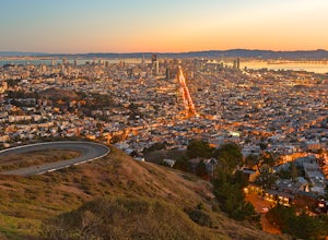
4.02.04 mi / 259 ft gainThere are a ton of ways to get here (and obviously that can affect the total distance) but this is starting from Clarendon. Follow along up Twin Peaks boulevard where you'll see the peaks upon your approach. Keep an eye out for traffic as there may be visitors driving toward and away from Twin Pe...Read more -
San Francisco, California
Fairy Gates Trail
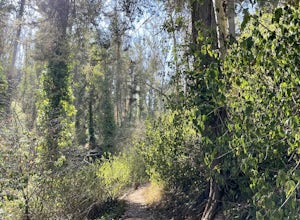
5.00.89 mi / 328 ft gainFairy Gates Trail is an out-and-back trail that takes you through a nice forest located near San Francisco, California.Read more -
San Francisco, California
Twin Peaks and Mt. Sutro Loop
4.26 miAre you thinking, hit up two of the bigger peaks in SF, what a great idea? Well, you thought right! The first mile and a half is uphill as you charge to the top of Twin Peaks. This 6% grade leads to a 460 ft elevation gain. The good news is, if it's not foggy, the views of the bay are stunning, e...Read more -
Redwood City, California
Hike Russian Ridge
4.54 miRussian Ridge offers a great place to jump on the trail and in the right season, see some of the best wildflowers blooming. On top of that, you get access to amazing views from the ridge. Once you hit your parking space, add a little extra warm up before jumping on the trail to make this 3.7-mil...Read more -
San Francisco, California
Grand View Park ("Turtle Hill")
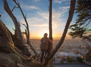
5.00.21 mi / 7 ft gainA recipe for happiness in the "cool grey city of love." To the seasoned San Franciscan there is no finer view in the Bay Area than that from San Francisco's front porch, Turtle Hill or "Grand View Park". If the North American continent / plate is a ship, then Grand View Park is the prow giving e...Read more


