Fillmore, California
Top Spots in and near Fillmore
-
Malibu, California
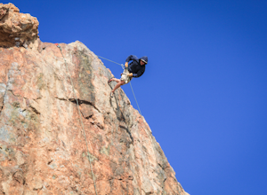
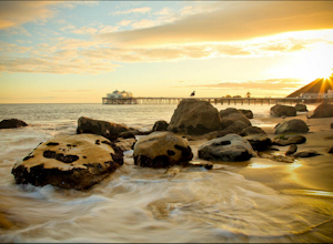
Rock Climb at Point Dume
4.0There are a couple of different ways to get to the rock, but the easiest will be at the end of Westward Beach Rd. The rock is impossible to miss as you drive further down the beach. Once parked, which I believe you have to pay for beyond a certain point, it's a short walk out on the sand to the b...Read more -
Los Angeles, California
Sepulveda Basin: Upstream Of Balboa
4.03.7 mi / 75 ft gainSepulveda Basin: Upstream Of Balboa is a loop trail that takes you by a river located near Encino, California.Read more -
Topanga, California
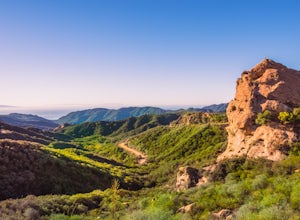
Eagle Rock in Topanga State Park
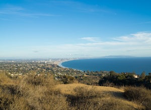
4.45.99 mi / 1106 ft gainEagle Rock is located in Topanga State Park in the Santa Monica Mountains, and it is a unique formation that provides an amazing panoramic view of Santa Monica. On a clear day, the Catalina Islands and Palos Verdes Peninsula are visible. You can park on along the street of Entrada Rd. or pay $10 ...Read more -
Topanga, California
Parker Mesa Overlook via Trippet Ranch
4.06.75 mi / 1181 ft gainThis is a 6.8 mile round-trip hike that starts at Trippet Ranch in Topanga Canyon. Even though the range in elevation is 400 feet from peak to trough, the up and down trail totals to approximately 1800 feet elevation gain making this a beginner to intermediate adventure. The trail itself is pre...Read more -
Malibu, California
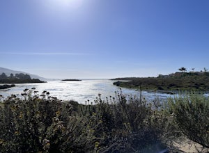
The Malibu Lagoon State Beach
5.02.11 mi / 98 ft gainThe Malibu Lagoon State Beach is a loop trail that takes you past scenic surroundings located near Malibu, California.Read more -
Malibu, California
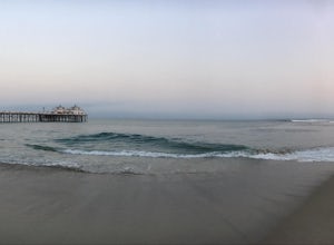
Photograph the Iconic Malibu Pier
3.2Less than a mile South from the small town center, Malibu Pier stretches out into the Pacific. The Pier has been in Malibu since 1905 and though much of Malibu has been built up around it, it has remained quite similar to when it was first constructed. You can either pay for parking right at the ...Read more -
Malibu, California
Surf Malibu Point
3.0Malibu point is an iconic surf spot located in Malibu, California. It's a very popular summer time spot due to the exposure to south swells. The majority of people longboard this surf spot. It's a very iconic wave with lots of history! The wave itself is a long right-hand point break that is r...Read more -
Maricopa, California
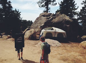
Camp and Boulder at Pine Mountain
Pine Mountain is closed intermittently for the winter season due to snowfall, usually from November through February. Outside of those months, take the Highway 33 north out of Ojai, heading north for about an hour and a half. You’ll see a large turnout as well as a sign reading “Pine Mt Road” on ...Read more -
Topanga, California
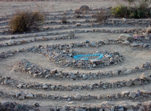
The Labyrinth at Tuna Canyon Park
1.45 mi / 299 ft gainThis is a simple but steep 2.4 mile round-trip hike to a clearing on a mountaintop in Topanga/Malibu, about an hour's drive west of downtown LA. At the end of the hike you'll reach a clearing with incredible views. On a cloudy or foggy day, it feels like you're floating above the clouds; on a cle...Read more -
San Fernando, California
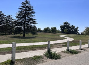
Pacoima Park Natural Wash Park
0.54 mi / 13 ft gainPacoima Park Natural Wash Park makes for a wonderful & pleasant walk. The entrance to the park is located at the corner of Newton St and 8th St and runs up to Foothill Blvd in San Fernando California. The park is ADA accessible and allows for dogs on leash. There are also picnic tables and dr...Read more -
Maricopa, California
Bear Trap Campground via Gene Marshall/Piedra Blanca Trail
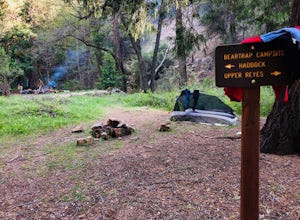
9.59 mi / 2211 ft gainThere's no better feeling then camping out and having a whole site to you and your friends...wouldn't you agree?!?! ...Deep in the Sespe Wilderness in Ojai, California sits a tucked away, well-managed campsite called "Bear Trap Campground". This campsite can be reached at any point of the year a...Read more -
Los Angeles, California
Santa Ynez Falls
3.52.25 mi / 243 ft gainThe Santa Ynez Canyon Trail is located 10 minutes away from the beach providing you the opportunity to do this hike early in the morning and spend the rest of the day hanging out at the beach. To get to the trailhead, take Vereda de la Montura Road until you reach the private residential area (th...Read more -
Los Angeles, California
Canyonback Nike Loop
4.06.02 mi / 1693 ft gainCanyonback Nike Loop is a loop trail that takes you by a river located near Encino, California.Read more -
Frazier Park, California
Hike to Conder Observatory (Mt. Piños) from the Nordic Ski Hut
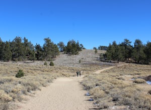
3.32 mi / 457 ft gainAny drive up the I-405N or I-5N is going to result in some pain: Either you leave early enough to avoid traffic, or you are sitting in some slowness for a while. But once you turn onto Frazier Mountain Road from the interstate, you are in a completely different world. It could be 85° in Los Angel...Read more -
Malibu, California
Ratner Beach
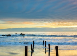
4.5Unlike most beaches in Los Angeles, this tiny little stretch of beach is usually empty, and is a little gem! It is the perfect place to get an unobstructed view of the sunset, and the sticks in the ground make for a picturesque sunset picture! Just be warned, this beach is right on PCH, so expect...Read more -
Los Angeles, California
Parker Mesa Overlook via Paseo Miramar
4.25.32 mi / 1099 ft gainThis 5.4-mile out-and back trail takes off from the end of the residential area of Paseo Miramar. Once you hike a little less than a quarter mile in, you'll connect with Los Liones Canyon Trail. Continue on Paseo Miramar Trail, which in another 2.5 miles, will connect you with the Parker Mesa Ove...Read more

