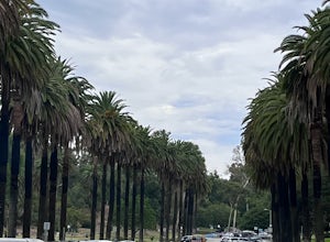
Fillmore, California
Top Spots in and near Fillmore
-
Los Angeles, California
Music Box Steps
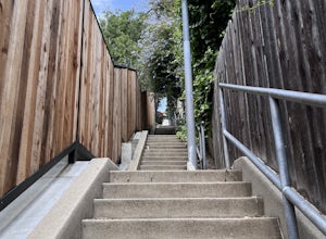
5.00.08 mi / 20 ft gainClimb a historical landmark in LA. This is where the famous, Academy Award winning short, Laurel and Hardy made called "The Music Box”. Filmed back in the 1930's the story is about two movers trying to deliver a piano, up these steps. There is a plaque is dedicated at the bottom to this film. It’...Read more -
Los Angeles, California
Secret Stairs Astro Loop
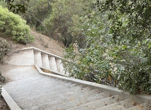
2.34.21 mi / 600 ft gainI learned about these remnants of Los Angeles history, just a few months ago. When I found myself in L.A. this past month, I decided to find some of these stairs, and find out what they’re all about. Back in the 1920’s these stairs were created for pedestrians to have direct routes to the trans...Read more -
Los Angeles, California
Silver Lake Reservoir Trail
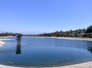
3.02.18 mi / 79 ft gainSilver Lake Reservoir Trail is a loop trail that takes you by a lake located in the Silver Lake neighborhood of Los Angeles, California. This urban escape is used by people running, walking, and birding. The trail is stroller-friendly, so you may see parents along the trail with their younger fam...Read more -
Los Angeles, California
Mattachine Steps
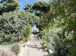
5.00.09 mi / 52 ft gainThe Mattachine Steps, also known as the Cove Avenue stairway, is dedicated to the Mattachine Society (The name was taken from a medieval French secret society that set out to right wrongs.) in 2012 in memory of Harry Hay, who cofounded the gay rights group. Right along this stairway is a small ho...Read more -
Los Angeles, California
Three Stooges Stairs
4.00.07 mi / 43 ft gainThe stairs are about 147 steps. Located at Fair Oak View Terrace and Edendale Place in the Silver Lake, a district of Los Angeles. They are famous for where the Three Stooges short "An Ache In Every Stake" was filmed in 1941. It is a classic scene of where they have to deliver a block of ice all ...Read more -
La Cañada Flintridge, California
Teepee Trail
5.02.55 mi / 1145 ft gainHidden in the small community of La Canada, California, the trailhead is pretty hidden! From the 210, take the exit for Highway 2/Angeles Crest Highway. Head north (towards the mountains) for about a mile. As the highway begins to curve, you will come across a small side-street, Harter Lane. Turn...Read more -
Ventura, California
Kayak Santa Cruz Island
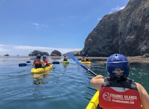
4.5As the largest of the Channel Islands, Santa Cruz Island in the Channel Island National Park is an ecological treasure, and to kayak it is to get to experience it in a manner unlike any other. Getting to the island is easiest through Island Packers where you can also reserve a kayak (so pack effi...Read more -
Ventura, California
Cavern Point & Potato Harbor Loop
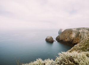
4.99 mi / 545 ft gainTucked away in the Pacific Ocean just 25 miles from the coast, the Channel Islands are one of Southern California’s hidden gems. With towering cliffs and isolated beaches that hug the coast, this place makes you feel worlds away from home. Channel Islands National Park is comprised of five island...Read more -
Ventura, California
Potato Harbor via North Bluff Trail
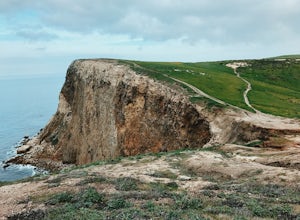
4.49 mi / 463 ft gainThe 4.5-mile North Bluff Trail traverses the colossal cliffs of Santa Cruz Island in Channel Islands National Park from Scorpion Anchorage to Potato Harbor. Arrive via an Island Packers boat to Scorpion Anchorage and, upon disembarking, walk straight ahead. Just past the restrooms (one of only tw...Read more -
Ventura, California
Scorpion Ranch Campground
4.00.72 mi / 43 ft gainAccessible only by Ferry, this little-known national park is a backpacker's dream. You can catch the ferry out of Ventura or Santa Barbara, only a short distance from LA. The ride to the island is around 1 hour. We chose to take Island Packers Ferry out of Ventura to Santa Cruz Island. The ferry...Read more -
Ventura, California
Potato Harbor Trail
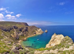
5.04.34 mi / 404 ft gainAs California’s largest island, Santa Cruz Island of the Channel Islands is the perfect little getaway from Los Angeles. Getting to the island is possible only by a one hour boat ride through Island Packers, click here to find out more about them. Be sure to pack light since you’ll be carrying ev...Read more -
Ventura, California
Smuggler's Cove
3.57.72 mi / 1342 ft gainSave one stretch of elevation close to the cove itself, this 8-mile, round-trip hike is a leisuring trek across one of the countries most beautiful, though less famous National Parks - the Channel Islands. Smuggler's Cove is located on the Santa Cruz Island, which also happens to be the largest i...Read more -
Los Angeles, California
Echo Park Lake
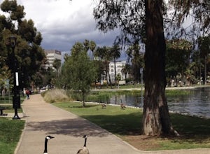
3.00.98 mi / 0 ft gainEcho Park Lake in Los Angeles has a loop that is about 1 mile around. It’s a pretty busy park, that has ducks and geese everywhere. Beautiful lotus blossoms and iris flowers in the lake. Generally flat and one tiny incline that can easily be avoided. You can also rent swan paddleboats that light ...Read more -
Bakersfield, California
Hike the San Emigdio Trail in the Wind Wolves Preserve
4.05 mi / 200 ft gainThis area is a family friendly hiking area for beginners. The farthest place to hike on the map is call Reflection Pond and is about a 7 mile hike out and back. The main trail called San Emigdio Trail runs right next to a stream the whole time. It is a really nice area for a day hike to find some...Read more -
Los Angeles, California
Baxter Steps
4.50.16 mi / 108 ft gainThis set of stairs near Dodger Stadium is Los Angeles is a great way to get a workout and stretch your legs. Unfortunately it is not dog-friendly. Keep in mind the best time to go here is during the week, so you can avoid crowds. Be sure to bring extra water with you as it can get very hot!Read more -
Los Angeles, California
Elysian Park
4.01.88 mi / 282 ft gainThe trail at Elysian Park in Los Angeles, California, is a moderate difficulty hike that spans approximately 1.88 miles. The trail is well-marked and offers a variety of terrain, including dirt paths and paved roads. The trail is known for its panoramic views of the city, including the iconic Dod...Read more

