Etna, California
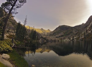
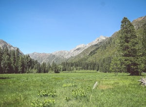
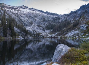
Etna, California is a top destination for outdoor adventures. One of the best trails is the Pacific Crest Trail, a scenic, challenging route that offers stunning views of the surrounding mountains and valleys. Along the trail, you'll find unique rock formations and a beautiful river, making it a must-visit for hikers. For those interested in water activities, the Klamath River is perfect for fishing and rafting. Another popular attraction is the Marble Mountain Wilderness, home to a vast network of trails, beautiful lakes, and unique flora and fauna. If you're looking for a more relaxed activity, the city park offers picnic areas and a playground. The best Trails and Outdoor Activities await you in Etna, California.
Top Spots in and near Etna
-
McCloud, California
Panther Meadows Campground
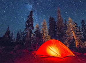
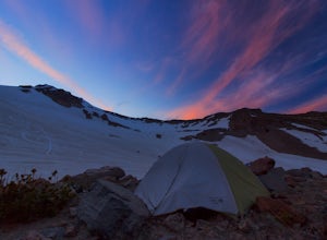
5.0The Panther Meadows Campground is located in the timberline on Mt. Shasta. The free campsite has 10 sites with a fire ring and a table. The elevation of the campground is 7,500 ft, making it the highest campground on Mt. Shasta. Summer nights can get pretty cold, so make sure to bring proper atti...Read more -
Siskiyou County, California
Climb Mt. Shasta via the Hotlum-Bolam Ridge
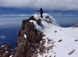
10 mi / 7200 ft gainThe Hotlum-Bolam route follows the ridge between the Hotlum and Bolam Glaciers on Shasta's north side. It's an intermediate route that isn't much more technical than the south side routes, except for icy sections and possible late-season open crevasses. For this reason it's a popular alternative ...Read more -
Junction City, California
Scramble Thompson Peak
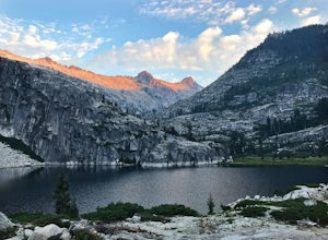
4.022.7 mi / 6100 ft gainThis adventure begins at the Canyon Creek Lakes in the Trinity Alps wilderness. Park at the Canyon Creek Trailhead near Junction City and hike the well-maintained and easy-to-follow trail for 8 miles. Once you reach the Canyon Creek Lakes, your off-trail adventure officially begins. I’d recommend...Read more -
Junction City, California
Backcountry Camp in the Canyon Creek Drainage
9 mi / 2600 ft gainThe first half of the Canyon Creek Drainage is one of the most popular destinations within the Trinity Alps, but the second half goes largely unexplored and uninhabited by sojourners. Four peaks – Thompson Peak, Wedding Cake, Mt. Hilton, and Sawtooth Peak – surround the basin and offer adventurer...Read more -
Junction City, California
Canyon Creek Lakes
4.314.35 mi / 2605 ft gainNumerous starting points with over 550 miles of trail and easily 50+ different featured trails depending on length and what type of activity you are are looking for. One of the more popular trails, and rightfully so, is Canyon Creek Lakes Trail. This 16 mile roundtrip hike has an overall elevatio...Read more -
Trinity Center, California
Stuart Fork Trail to Emerald and Sapphire Lakes
5.027.06 mi / 4213 ft gainThe trail begins just past the Trinity Alps Resort, a private collection of cabins near Weaverville, CA. Hikers wanting an early start can spend the night at the Bridge Camp Campground, located next to the trailhead. The path starts out wide and level, following an old road to the wilderness bou...Read more -
Trinity Center, California
Stuart Fork to Alpine Lake
16 mi / 4265 ft gainNestled in the heights of the Trinity Alps, this hike to Alpine Lake is not for the faint of heart. Before embarking on this adventure call the Weaverville Ranger station to check snow levels as well as the flow of the Stuart Fork River. If you are too early in the summer season the snowpack wi...Read more -
McCloud, California
Mt. Shasta via Clear Creek Route
11.43 mi / 7615 ft gainThe least technical route to the summit of Mt Shasta begins at the Clear Creek Trailhead (elevation 6390 ft). Please note that although this is a less technical route, this is still dangerous and there have been deaths on Mt. Shasta because of falling rock. To start this, you should be a good hik...Read more -
Trinity Center, California
Backpack Stony Ridge in the Trinity Alps
16.5 mi / 4500 ft gainThe Trinity Alps has miles and miles of beautiful trails, but one of the more stunning sections is the Four Lakes Loop. There are two main trail heads that access the trail. Long Canyon Trail and Stony Ridge Trail both are both beautiful but Stony Ridge is the more popular route yet strenuous. To...Read more -
Trinity Center, California
Camp at Hayward Flat on Trinity Lake
We drove all around Trinity Lake and this was the best campground we found! Located right on Trinity Lake you will find Hayward Flat Campground. From Weaverville California you will follow highway 3 north about 20 miles. Then take a right on Hayward Flat road two miles. Boom, you are there. The...Read more -
Trinity Center, California
Backpack Stuart Fork to Emerald and Sapphire Lake
25 mi / 4448 ft gainThe Stuart Fork to Emerald and Sapphire Lakes trail features many beautiful lakes, meadows, and an area that resembles a jungle. Dogs are able to use this trail. This trail can be done as a day hike, an overnight, or a three-day backpacking trip. If you choose to make it a three day, the meadows ...Read more -
Ashland, Oregon
Hike and Climb Pilot Rock
8 mi / 1000 ft gainPilot Rock is one of the most prominent features in the Cascade-Siskiyou National Monument and is visible from over 40 miles away in the Shasta Valley of northern California and the Rogue Valley of Southern Oregon.Similar to Devil’s Tower in Wyoming, though much smaller in stature, Pilot Rock is ...Read more -
Ashland, Oregon
Summit Mt. Ashland
5.05 mi / 1550 ft gainSituated in Southern Oregon right near the California border lies the Siskiyou Mountain Range's tallest peak, Mount Ashland. Mount Ashland is a very popular area for many recreational activities, one of the most popular activities is skiing. The ski area was opened up in 1963 and has changed hand...Read more -
McCloud, California
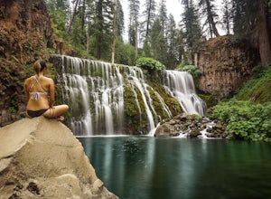
Middle McCloud Falls
4.82.49 mi / 243 ft gainJust 4 hours north of San Francisco, McCloud Falls offers a quick hike and swimming hole for those looking for something less crowded than Burney Falls. McCloud Falls has 3 tiers, but the middle section offers the best views by far. Getting Here To get here, park at the Fowlers Campground which...Read more -
McCloud, California
McCloud Middle Falls Short Trail
3.00.79 mi / 85 ft gainMcCloud Middle Falls Short Trail is located near McCloud, California. This route makes for an abbreviated version of the longer Middle McCloud Falls adventure which is 2.5 miles roundtrip. The parking area has an established parking lot and a vault toilet. The shorter trail with minimal elevati...Read more -
Ashland, Oregon
Hike to Hobart Bluff
2.5 mi / 200 ft gainHobart Bluff is part of the Western Cascades, a range of weathered volcanic mountains that are much older than the High Cascades that most people think of today, the range of Shasta, Rainier, and Hood. These mountains are shorter as a result of the work of time and usually have summits wrapped in...Read more

