Etna, California
Looking for the best photography in Etna? We've got you covered with the top trails, trips, hiking, backpacking, camping and more around Etna. The detailed guides, photos, and reviews are all submitted by the Outbound community.
Top Photography Spots in and near Etna
-
McCloud, California
Mt. Shasta via Clear Creek Route
11.43 mi / 7615 ft gainThe least technical route to the summit of Mt Shasta begins at the Clear Creek Trailhead (elevation 6390 ft). Please note that although this is a less technical route, this is still dangerous and there have been deaths on Mt. Shasta because of falling rock. To start this, you should be a good hik...Read more -
Trinity Center, California
Backpack Stony Ridge in the Trinity Alps
16.5 mi / 4500 ft gainThe Trinity Alps has miles and miles of beautiful trails, but one of the more stunning sections is the Four Lakes Loop. There are two main trail heads that access the trail. Long Canyon Trail and Stony Ridge Trail both are both beautiful but Stony Ridge is the more popular route yet strenuous. To...Read more -
Trinity Center, California
Camp at Hayward Flat on Trinity Lake
We drove all around Trinity Lake and this was the best campground we found! Located right on Trinity Lake you will find Hayward Flat Campground. From Weaverville California you will follow highway 3 north about 20 miles. Then take a right on Hayward Flat road two miles. Boom, you are there. The...Read more -
Trinity Center, California
Backpack Stuart Fork to Emerald and Sapphire Lake
25 mi / 4448 ft gainThe Stuart Fork to Emerald and Sapphire Lakes trail features many beautiful lakes, meadows, and an area that resembles a jungle. Dogs are able to use this trail. This trail can be done as a day hike, an overnight, or a three-day backpacking trip. If you choose to make it a three day, the meadows ...Read more -
Ashland, Oregon
Hike and Climb Pilot Rock
8 mi / 1000 ft gainPilot Rock is one of the most prominent features in the Cascade-Siskiyou National Monument and is visible from over 40 miles away in the Shasta Valley of northern California and the Rogue Valley of Southern Oregon.Similar to Devil’s Tower in Wyoming, though much smaller in stature, Pilot Rock is ...Read more -
Ashland, Oregon
Summit Mt. Ashland
5.05 mi / 1550 ft gainSituated in Southern Oregon right near the California border lies the Siskiyou Mountain Range's tallest peak, Mount Ashland. Mount Ashland is a very popular area for many recreational activities, one of the most popular activities is skiing. The ski area was opened up in 1963 and has changed hand...Read more -
McCloud, California
Middle McCloud Falls
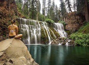
4.82.49 mi / 243 ft gainJust 4 hours north of San Francisco, McCloud Falls offers a quick hike and swimming hole for those looking for something less crowded than Burney Falls. McCloud Falls has 3 tiers, but the middle section offers the best views by far. Getting Here To get here, park at the Fowlers Campground which...Read more -
Ashland, Oregon
Hike to Hobart Bluff
2.5 mi / 200 ft gainHobart Bluff is part of the Western Cascades, a range of weathered volcanic mountains that are much older than the High Cascades that most people think of today, the range of Shasta, Rainier, and Hood. These mountains are shorter as a result of the work of time and usually have summits wrapped in...Read more -
Crescent City, California
Devil's Punchbowl, Six Rivers National Forest
4.08.33 mi / 1660 ft gainLocated in extreme Northern California, the Siskiyou Mountains are the largest sub-range of the Klamath Mountain range and among the most rugged. The Siskiyou Wilderness, designated in 1984, encompasses three national forests: Siskiyou, Klamath and Six Rivers for a total of 182,802 acres. Because...Read more -
Del Norte County, California
Backpack to Raspberry Lake
1.012 mi / 1800 ft gainIf you wish to experience the beauty of the Siskiyou Wilderness and avoid the crowds associated with The Devil’s Punchbowl, then consider a visit to Raspberry Lake. Beginning at the Young’s Valley Trailhead (Coordinates: 41.889919, -123.654755), this hike is a great option for those seeking wide...Read more -
Junction City, California
Fly Fish the Trinity River
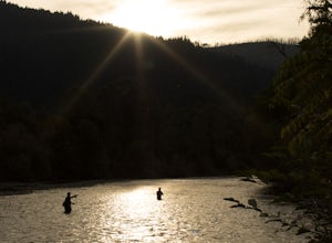
The Trinity River is one that is rarely visited by your typical Bay Area resident. In fact, much of true Northern California is "untouched" in the eyes of those who live in The City, which is what drew me to this place to begin with. After a five hour journey from San Francisco, we made it to our...Read more

