Emma Wood State Beach, California
Emma Wood State Beach in California is a top destination for outdoor adventures. The best trails and outdoor activities include the Ventura River Estuary Trail, a must-visit for hikers. This 1.5-mile trail offers scenic views of the Ventura River, the Pacific Ocean, and diverse bird species. The trail is flat and easy, making it suitable for all fitness levels. For those interested in fishing, the beach provides opportunities to catch perch, bass, and corbina. The beach is also a popular spot for surfing and swimming. Nearby, the Channel Islands National Park offers boat tours, wildlife viewing, and camping. Don't forget to check out the historical WWII artillery emplacements for a dose of history. For a mix of nature, history, and outdoor fun, Emma Wood State Beach is a must-visit.
Top Spots in and near Emma Wood State Beach
-
Los Angeles, California
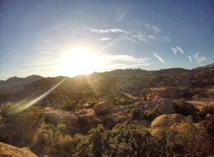
Stoney Point Park Loop
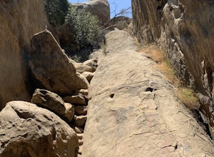
4.00.73 mi / 141 ft gainOnce you've parked along Topanga Canyon Blvd, make your way down the street and start the trail off near the steel gate, close to the horse stables. As you make your way in, you will notice some rock climbers practicing on the lower elevation rocks. Make your way around this rocky park, counter-...Read more -
Topanga, California
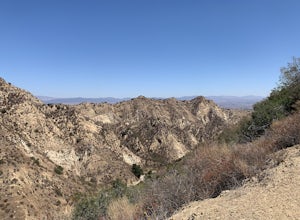
Calabasas Peak Motorway
7.23 mi / 1565 ft gainGetting There You can, from Los Angeles, go one of three ways: take I-405 to US-101 and head west, or from downtown, take US-101 the whole way, OR, get on I-10 from the Westside or east of there and take that until it becomes PCH, then take that to Topanga Canyon (turn left onto Old Topanga Cany...Read more -
Stevenson Ranch, California
Mentryville: Pico Canyon Trail
7.07 mi / 1388 ft gainMentryville: Pico Canyon Trail is an out-and-back trail that takes you past scenic surroundings located near Stevenson Ranch, California.Read more -
Topanga, California
Red Rock Canyon to Calabasas Peak
4.04.53 mi / 1004 ft gainWhen you get to the parking lot be sure to pay the $5 parking fee. You will need to place this in the provided envelope and drop it in the iron ranger. Start the hike by following the fire road behind the gate. About a couple of yards in, you will see a trail on your left which leads to a ghoul...Read more -
Calabasas, California
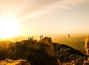
Hike and Rock Climb at Saddle Peak
5.0This is one of my favorite hikes in the Los Angeles area. Super easy, yet beautiful and a perfect place to get away from the city.Parking for the trailhead is where the three roads intersect. The parking area is a long strip of dirt, there will most likely be cars there when you arrive already th...Read more -
Los Angeles, California
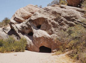
Stoney Point via North End
4.01.42 mi / 240 ft gainStoney Point via North End is an out-and-back trail where you may see local wildlife located near Chatsworth, California.Read more -
Topanga, California
Top of Topanga Overlook
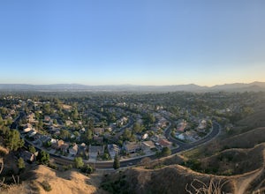
1 mi / 1613 ft gainThe Top of Topanga Overlook is where you can simply park your car, and sit in one of the benches to view the San Fernando Valley. But there is one hiking trail in that area which lets you get better vantage points, as well as a quick workout. Once you get to the overlook, park your car and safel...Read more -
Topanga, California
The Labyrinth at Tuna Canyon Park
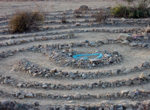
1.45 mi / 299 ft gainThis is a simple but steep 2.4 mile round-trip hike to a clearing on a mountaintop in Topanga/Malibu, about an hour's drive west of downtown LA. At the end of the hike you'll reach a clearing with incredible views. On a cloudy or foggy day, it feels like you're floating above the clouds; on a cle...Read more -
Los Angeles, California
Porter Ranch Ridge
4.03.36 mi / 548 ft gainPorter Ranch Ridge is an out-and-back trail where you may see local wildlife located near Los Angeles, California.Read more -
Stevenson Ranch, California
Hike the Towsley Canyon Loop
4.75.1 mi / 1340 ft gainThe Towsley Canyon Loop can be done in either a clockwise or counter-clockwise loop. The clockwise path starts with a gradual ascent through Wiley Canyon and steep descent into the Towsley Gorge while a counter-clockwise route starts with a steep climb out of Towsley Canyon and a gradual descent ...Read more -
Castaic, California
Paddle Castaic Lake State Recreational Area
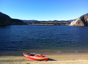
6 miCastaic Lake is a man made reservoir located 41 miles north of downtown Los Angeles, CA in the town of Castaic. Made up of two bodies of water, separated by a 425-foot dam, Upper and Lower Castaic Lakes have a combined 29 miles of shoreline forming the Castaic Lake State Recreational Area. The s...Read more -
Santa Barbara County, California
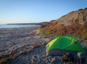
Beach Camp on Santa Rosa Island
5.019.72 mi / 3097 ft gainChannel Islands National Park is California's least visited National Park. If you visit, you will see many unique plants and animals, including a rare native fox species, and Torrey Pines, only found here and in a small grove near San Diego. This adventure is not for the inexperienced. There is ...Read more -
Santa Barbara County, California
Water Canyon Campground
3.28 mi / 128 ft gainYou can get a wonderfully detailed description of what to expect from the Channel Islands/Santa Rosa Island and how to get there from fellow Explorer Michael Wigle's "Beach Camp on Santa Rosa Island" adventure (which I highly recommend you check out for the information and the photography, so I'm...Read more -
Topanga, California
Eagle Rock in Topanga State Park
4.45.99 mi / 1106 ft gainEagle Rock is located in Topanga State Park in the Santa Monica Mountains, and it is a unique formation that provides an amazing panoramic view of Santa Monica. On a clear day, the Catalina Islands and Palos Verdes Peninsula are visible. You can park on along the street of Entrada Rd. or pay $10 ...Read more -
Topanga, California
Parker Mesa Overlook via Trippet Ranch
4.06.75 mi / 1181 ft gainThis is a 6.8 mile round-trip hike that starts at Trippet Ranch in Topanga Canyon. Even though the range in elevation is 400 feet from peak to trough, the up and down trail totals to approximately 1800 feet elevation gain making this a beginner to intermediate adventure. The trail itself is pre...Read more -
Santa Barbara County, California
Lobo Canyon Trail via Santa Rosa Campground
12.03 mi / 984 ft gainThe National Park Service describes this hike in the following: "Strenuous. A spectacular canyon with wind- and water-sculpted sandstone cliffs, a year-round stream, riparian vegetation, and a spectacular coast at its mouth. Well worth the effort." I couldn't agree more with the last sentence...Read more

