Dunsmuir, California
Looking for the best hiking in Dunsmuir? We've got you covered with the top trails, trips, hiking, backpacking, camping and more around Dunsmuir. The detailed guides, photos, and reviews are all submitted by the Outbound community.
Top Hiking Spots in and near Dunsmuir
-
French Gulch, California
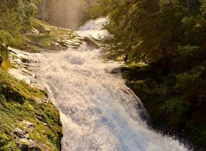
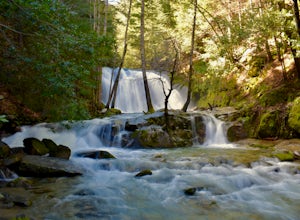
Hike to Whiskeytown Falls in Whiskeytown National Recreation Area
2.8 mi / 787 ft gainComing from Redding pass the visitor center and heading down highway 299. Make a left turn on Crystal Creek Road. Drive about 3.75 miles and on your left will be the Mills Creek Trailhead. Start hiking. You will start headed downhill towards the creek. You will cross Crystal Creek on a footbridge...Read more -
Junction City, California
Scramble Thompson Peak
4.022.7 mi / 6100 ft gainThis adventure begins at the Canyon Creek Lakes in the Trinity Alps wilderness. Park at the Canyon Creek Trailhead near Junction City and hike the well-maintained and easy-to-follow trail for 8 miles. Once you reach the Canyon Creek Lakes, your off-trail adventure officially begins. I’d recommend...Read more -
Junction City, California
Backcountry Camp in the Canyon Creek Drainage
9 mi / 2600 ft gainThe first half of the Canyon Creek Drainage is one of the most popular destinations within the Trinity Alps, but the second half goes largely unexplored and uninhabited by sojourners. Four peaks – Thompson Peak, Wedding Cake, Mt. Hilton, and Sawtooth Peak – surround the basin and offer adventurer...Read more -
Junction City, California
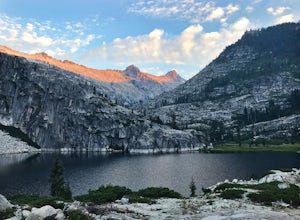
Canyon Creek Lakes
4.314.35 mi / 2605 ft gainNumerous starting points with over 550 miles of trail and easily 50+ different featured trails depending on length and what type of activity you are are looking for. One of the more popular trails, and rightfully so, is Canyon Creek Lakes Trail. This 16 mile roundtrip hike has an overall elevatio...Read more -
Igo, California
Hike to Brandy Creek Falls in Whiskeytown National Recreation Area
5.03 mi / 500 ft gainMy favorite hike in Whiskeytown National Recreation Area. From the visitor center you will take Kennedy Memorial Drive towards the dam, make a left at Brandy Creek Road. At a junction for Sheep camp/Shasta Bally make a left. You will arrive at the trailhead. This hike follows a beautiful stream t...Read more -
Shasta County, California
Hike Kanaka Peak
4.53.5 mi / 1100 ft gainHead to the Peltier Bridge Campground after entering Whiskeytown National Recreation Area and then go 1.1 miles along the road through the campground until you reach the trailhead for Kanaka Peak. The road from the campground is open from late spring to late fall, otherwise hikers will need to pa...Read more -
Shasta County, California
Hike to the top of South Fork Mountain
5 mi / 4181 ft gainStarting from the Kanaka Peak Trailhead, follow the Kanaka Peak Trail all the way, continuing on past the Peltier Trail Junction and the Kanaka Cutoff Trail Junction until the trail begins to head east (about 2-2.5 miles from the trailhead) and there is a gently sloping hill on your right that is...Read more -
Shasta County, California
Magee Peak & Crater Peak
7.19 mi / 2887 ft gainThe trail to Magee Peak and Crater Peak makes for a fairly strenuous hike (mostly due to altitude). This USFS out-and-back trail has incredible views of the major peaks in the Northern California & Southern Oregon. Take in a spectacular close-up of Lassen NP and great views of Shasta, Castl...Read more -
Douglas City, California
Camp at Steel Bridge Campground
Steel Bridge is located along the Trinity River. About three miles east of Douglas City on State Highway 299, turn north onto Steel Bridge Road and go about 2 miles to the campground.This campground is open from Mid-May until winter weather forces closure. The campground is home to 12 camping s...Read more

