Del Rey Oaks, California
Top Spots in and near Del Rey Oaks
-
Big Sur, California
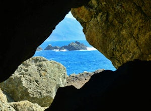
Explore The Hidden Rock Caves At Partington Cove
5.0Partington Cove which is located in Julia Pfeiffer Burns State Park, is one of Big Sur's hidden gems. It's a very short hike with enough views to show why Big Sur earned the nickname " Little Yosemite." The whole hike can easily be completed in less than an hour, although there are definitely eno...Read more -
Santa Cruz, California
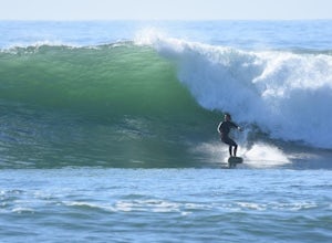
Surf Four Mile Beach
4.0Four Mile is a reef/point break that is a couple of miles north of town. This spot usually picks up more swell than in town so it is a popular spot for many locals to surf. When the swell picks up, it offers long rights towards the beach. The current can be strong when there is a lot of swell in ...Read more -
Big Sur, California
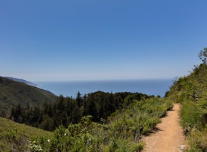
Hike the Ewoldsen Trail
4.54.2 mi / 1500 ft gainThe Ewoldsen Trail is one of the more accessible yet challenging hikes in Big Sur. It is a beautiful ~4-mile loop through the redwood forest that starts in the Julia Pfeiffer state park parking lot, which is across the street from McCay falls. During the first part of the hike, you'll pass picnic...Read more -
Big Sur, California
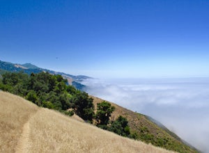
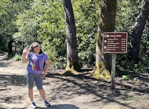
Hike the Waters Ridge Trail
5.07 mi / 2100 ft gainAccess the Waters Ridge Trail from the Ewoldsen Trail, located in Julia Pfeiffer Burns State Park. Although steep, this path is fairly short, and rewards you with spectacular views at the top. About halfway around the Ewoldsen Trail Loop, you'll come across a turnoff on the right, with a sign dem...Read more -
Big Sur, California
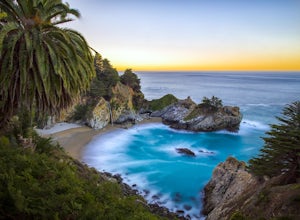
McWay Falls
4.6McWay Falls is one of the most iconic waterfalls in BIg Sur and can be seen from Highway 1. The trail to the falls is located in Julia Pfeiffer. For all of you history buffs, Mcway Falls is named after Christopher McWay, an early settler and farmer from New York who ventured west in the late 1800...Read more -
Santa Cruz, California
Hike the Rincon Fire Trail
5.01 mi / 300 ft gainThe Rincon Fire Trail Starts at a small dirt parking lot next to CA-9 and traverses down the mountain to the San Lorenzo River Connecting with the Pipeline Trail. The trail can be a simple one of a mile out and back or up to 5 miles depending on your preference. The elevation will change by about...Read more -
Greenfield, California
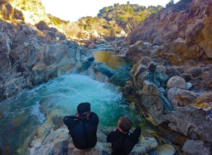
Adventure at Arroyo Seco
4.6This off-the-beaten-trail adventure has a little bit of everything for everyone, and is as challenging as you make it. Many just make it about a mile down to the river for a leisurely day of relaxing, swimming, sunbathing, and enjoying a few cold beverages. Others embark on a 7+ mile adventure up...Read more -
Santa Cruz County, California
Camp at Henry Cowell Redwoods Campground
4.8/ 665 ft gainNestled in the Santa Cruz Mountains, Henry Cowell Redwoods State Park is a great weekend option for Bay Area residents. With approximately 30 miles of hiking trails, the incredible Garden of Eden swimming hole, and proximity to Santa Cruz - this campground is not to be missed! On sunny days, view...Read more -
Santa Cruz, California
Explore Panther Beach
4.5Panther Beach's white sand, clear water, and interesting rock formations make it one of the most stunning beaches along this stretch of CA1. But this is a hidden gem for a reason - there are no signs along CA1 for Panther Beach. You need to keep you eyes peeled for cars parked along the side of t...Read more -
Santa Cruz, California
Photographing the Sunset at Panther Beach
5.0Probably my favorite beach in the Santa Cruz area. Panther Beach lies just south of Davenport along the beautiful Hwy 1. Park at a large dirt pull out on the left hand side if your heading north from Santa Cruz. The trail down to the beach is steep and not that well maintained so watch your step....Read more -
Felton, California
Observation Deck Loop in Henry Cowell Redwoods SP
4.35.3 mi / 869 ft gainThe trail starts at the Henry Cowell Redwoods State Park Visitors Center. Grab a map in the center, as your hike has you turning onto a few different trails to get to the observation deck. Starting at the Redwood Grove Loop Trail, follow the trail until it connects with the Pipeline Road Trail ...Read more -
Felton, California
Redwood Grove Loop
4.00.93 mi / 144 ft gainHenry Cowell Redwoods State Park is located just a few miles north of the city of Santa Cruz, along Highway 9. The park is home to an array of hiking and biking trails, but the crown jewel of the park is the Redwood Grove Loop Trail, which is only a 1/4 mile in from the park's entrance. Many peo...Read more -
Los Gatos, California
Mountain Bike Soquel Demonstration Forest
11 mi / 2070 ft gainAs with many trail systems there are multiple routes and loops available at Sequel Demonstration forest of varying lengths and difficulty. The 3 main trails are all accessed via the same parking area on highland way. The most popular trail is the all skill levels "Flow" trail, followed by two sho...Read more -
Felton, California
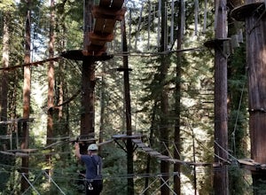
Tree Climb Mount Hermon
5.0Climbing an aerial obstacle course through the redwoods of Mount Hermon is a great way to experience the thrill of climbing and being in the trees. See what it's like to scurry through the trees like a squirrel. This unique vantage point offers amazing views of the redwoods. There are many aeri...Read more -
Morgan Hill, California
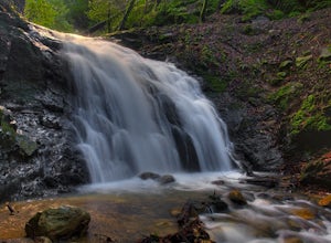
Uvas Canyon Waterfall Hike
4.01.5 miUvas Canyon offers up to 6-miles of hiking trails, which includes a 1.5 mile loop, which runs along Swanson Creek and passes many of the park's waterfalls. To take short loop, head North out of the parking lot to the Swanson Creek Trail. Once you find Swanson Creek Trail, you'll be on the Waterfa...Read more -
Davenport, California
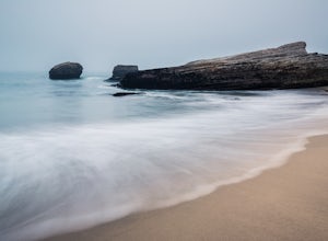
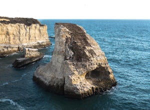
Beach Picnic at Shark Fin Cove
4.3Shark Fin Cove is a large rock formation in an inlet off Highway 1 in Northern California. It is located 1 mile south of Davenport and 10 miles north of Santa Cruz. There is a sizable parking lot located on the side of Highway 1 to park in. Walk down the path left of the parking lot and cross the...Read more

