Death Valley, California
Looking for the best hiking in Death Valley? We've got you covered with the top trails, trips, hiking, backpacking, camping and more around Death Valley. The detailed guides, photos, and reviews are all submitted by the Outbound community.
Top Hiking Spots in and near Death Valley
-
Inyo County, California
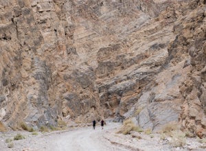
Hike into Titus Canyon
8 miIn total its about 22 miles from Stovepipe Wells. From Stovepipe, head east on the 190 and make the left for Scotty's Castle Rd. Continue another 19 miles down until you can turn off onto the dirt track that leads to Titus Canyon. When you arrive in the parking lot, you'll see Do Not Enter signs,...Read more -
Inyo County, California
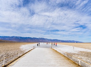
Badwater Basin's Salt Flats
4.61.92 mi / 43 ft gainTaking a walk on the salt flats at Badwater Basin is like no other experience in Death Valley National Park. These flats cover nearly 200 square miles across the park, which makes them one of the world’s largest protected salt flats. With an elevation of 282 feet below sea level, Badwater Basin i...Read more -
Inyo County, California
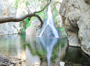
Hike to Darwin Falls
5.02 mi / 275 ft gainYes, you saw this right, it's a waterfall in Death Valley. This magical oasis has water flowing year round and is found in the driest place in North America. Death Valley is full of amazing places, but this should be on everyone's to-do list! It's a short hike that quickly rewards you with a plac...Read more -
Darwin, California
Photograph Panamint Valley from Father Crowley Overlook
0.5 mi / 150 ft gainFather Crowley Overlook is an easily missed overlook on the western edge of Death Valley National Park off State Highway 190 overlooking Panamint Valley. It is easy to miss because the parking area doesn't appear to have a particularly notable vista, but leading off from the parking area to the s...Read more -
Inyo County, California
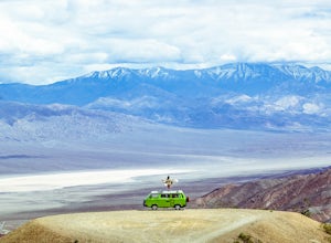
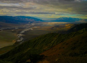
Photograph Dante's View of Death Valley
4.7In all of Death Valley National Park, Dante's View might just be the best spot to watch the light fade away after a long day. Unfortunately, it is one of the highly missed spots along the Highway 190 Death Valley route. This might be due to the fact that it is about 15 miles off of the highway, b...Read more -
Inyo County, California
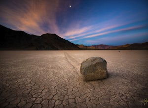
Racetrack Valley
5.0Death Valley National Park is home to some remarkably surreal landscapes, none stranger than Racetrack Valley and its famous moving rocks. For decades, the mechanism of the rocks’ movement was unknown and the subject of much speculation, some scientific and some not, but the mystery was finally ...Read more -
Beatty, Nevada
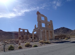
Explore Rhyolite Ghost Town
1.1 mi / 118 ft gainJust outside of Death Valley National Park, Rhyolite is 35 miles from the Furnace Creek Visitor Center on the way to Beatty, Nevada. Rhyolite Ghost Town is a result of the gold rush in Nevada. The town was very lively, with active citizens who enjoyed baseball games, dances, basket socials, tenni...Read more -
Inyo County, California
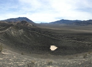
Ubeheh Crater Path
5.00.58 mi / 157 ft gainUbeheh Crater Path Trail is an out-and-back trail that takes you past scenic surroundings located near Death Valley, California.Read more -
Inyo County, California
Ubehebe and Little Hebe Crater Trail
5.02.21 mi / 745 ft gainUbehebe and Little Hebe Crater Trail is a loop trail that takes you past scenic surroundings located near Death Valley, California.Read more

