Davenport, California
Looking for the best photography in Davenport? We've got you covered with the top trails, trips, hiking, backpacking, camping and more around Davenport. The detailed guides, photos, and reviews are all submitted by the Outbound community.
Top Photography Spots in and near Davenport
-
Palo Alto, California
Hike the Arastradero Preserve Loop
3.04.5 mi / 600 ft gainGetting There: From Hwy 280, take the Page Mill Road exit and head West on Page Mill Road, away from Downtown Palo Alto (if you're taking 101, exit on Oregon Expressway). Then turn right on Arastradero Road. There will be a small sign indicating the dirt parking lot on the eastern side of the str...Read more -
Moss Landing, California
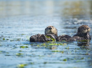
Kayak in Elkhorn Slough
4.7Elkhorn Slough is located in Moss Landing, which is in the dead center of Monterey Bay, California. Elkhorn Slough is one of California's largest wetlands and part of a National Estuarine Reserve located in central Monterey Bay, California, just a short trip from the Monterey Peninsula and the Sa...Read more -
Moss Landing, California
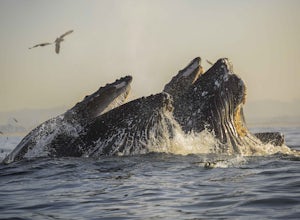
Kayak with Humpback Whales in Monterey Bay
5.0Disclaimer: Please keep a respectful distance from the whales and other sea wildlife for their protection and your own. Note, changing the animal's natural behavior is a violation of federal law.Every year, humpbacks whale migrate north from their winter and breeding grounds down in southern Mex...Read more -
Moss Landing, California
Whale Watching off Moss Landing
The Monterey Bay National Marine Sanctuary is home to some of the most diverse and rich waters in our oceans, and you have the chance to see it up close and personal! The big prize is getting to see a whale, but these waters are teeming with other wildlife from dolphins to otters to sea lions. F...Read more -
Half Moon Bay, California
Watch the Sunset at Martin's Beach
4.5Martin's Beach is a beach about 7 miles south of Half Moon Bay. It features a large, very cool looking rock formation right off the coast. This beach is accessible via Martin's Beach Road, which is a small turn off on your right when southbound on Highway 1, though sometimes the road is only open...Read more -
Redwood City, California
Hike or Bike the Old Growth Redwood Loop at El Corte de Madera
4.48.8 mi / 1900 ft gainThis hike starts at the middle parking lot of the El Corte de Madera Open Space Preserve. The middle lot is located roughly a mile south on Skyline Boulevard from the Skeggs Point Vista. From the parking lot, take the Methuselah Trail for 0.3 miles until you reach the Timberview Trail. Take this ...Read more -
Woodside, California
Hike through Wunderlich County Park
5.04.5 mi / 1400 ft gainLocated in the iconic Silicon Valley town of Woodside, Wunderlich County Park offers a number of hiking trails as well as some horseback riding trails through the wilderness. Once in the parking lot, you will see a number of stables, riding ring, as well as a beautiful historic stable that was o...Read more -
Stanford, California
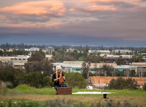
Sunset Picnic at Kite Hill
4.0Kite Hill is nothing more than what the name describes. A simple ascent less than 100 feet in elevation. But that 100 feet is all you need to feel like you discovered a little escape from the buzz below.To get there, you can park directly at the base of Kite Hill along Peter Coutts Rd and simply ...Read more -
Redwood City, California
Hike the Methuselah and El Corte De Madera Creek Loop
6.2 mi / 1800 ft gainThis loop hike will provide people with the opportunity to experience the tranquility of the lower canyons of the preserve, which tend to be more isolated than the heavier-trafficked trails that are closer to the main highway. Be warned that this hike is fairly strenuous because of the large amou...Read more -
Redwood City, California
Hike the Crystal Springs Trail Loop
5.6 mi / 1300 ft gainThis is a great hike for any season of the year, with rushing streams during the winter, wildflowers in the spring, and cool, shaded canyons during the summer. Starting from near the Zwierlein Picnic area, take the Crystal Springs to the left into the redwood forest. Stay straight at the next tra...Read more -
Pacific Grove, California
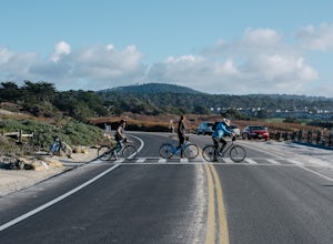
Bike at Asilomar State Beach
At Asilomar State Beach, adventure is accessible in many forms. I had the opportunity to rent a bike from Adventures by the Sea. Rentals start at $25, and while you are not permitted to ride along the boardwalk that leads you to the beach, you may walk your bike through the exquisite sand dunes A...Read more -
Pacific Grove, California
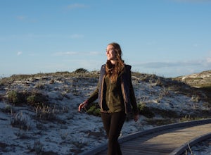
Exploring Asilomar's Ancient Sand Dunes
4.0Asilomar State Beach covers 107 acres of land. It is home to a delicate ecosystem that has been sustained through the years after it was almost destroyed. The intricate dunes at Asilomar are what have survived after the over-grazing back in the early 1900's that damaged about 480 acres of dunes. ...Read more -
Marina, California
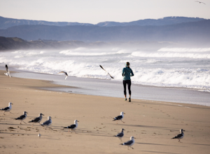
Surf, Run, or Catch a Sunset at Marina State Beach
From the moment you turn into the parking lot, you know Marina State Beach is special. Grab a parking spot in the large lot and then run down the dunes and onto the shoreline! The beach feels spacious on this section of the shore and gives plenty of room to run around or to put down a blanket to ...Read more -
Pacific Grove, California
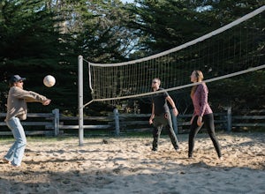
Play Volleyball at Asilomar Conference Grounds
Asilomar translates to “refuge by the sea,” a phrase that accurately depicts the Asilomar Conference Grounds. The area started as a YWCA women’s empowerment camp in 1913 and has since transitioned into a well-preserved state beach. It is located in the beautiful Monterey Peninsula. If you find y...Read more -
Half Moon Bay, California
Purisima Creek Trail and Craig Britton Trail Loop
4.06.95 mi / 1411 ft gainThis hike is perfect for any time of year, always staying cool because it is near the coast, and there are multiple creeks that flow year-round. Even on foggy days, the fog condenses on trees to make it seem like it is "raining." Be warned that this hike has a lot of elevation change and is stre...Read more -
Pacific Grove, California
Explore Lovers Point
5.0LOVERS POINT PARK AND BEACH:According to local legend, this park was originally called "Lovers of Jesus Point," back in the era when Pacific Grove was a Methodist retreat camp. Since the late 1800s, the beach at Lovers Point in Pacific Grove has been a popular spot for boating and swimming, and o...Read more


