Culver City, California
Culver City, California, is home to some of the best trails and outdoor activities. A must-visit is the Baldwin Hills Scenic Overlook, a challenging trail with a rewarding panoramic view of Los Angeles at the summit. Not far from the city center, the Ballona Creek Bike Path offers a smooth ride along the water, perfect for cycling or a leisurely walk. The Kenneth Hahn State Recreation Area is another top choice, with its diverse landscapes of grasslands, woodlands, and a man-made lake. For a more laid back outdoor adventure, consider a picnic at the Culver City Park. These scenic spots provide a variety of outdoor activities that make Culver City a great destination for those seeking physical activity and relaxation.
Top Spots in and near Culver City
-
Los Angeles, California
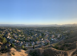
Porter Ranch Ridge
4.03.36 mi / 548 ft gainPorter Ranch Ridge is an out-and-back trail where you may see local wildlife located near Los Angeles, California.Read more -
Los Angeles, California
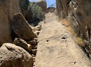
Stoney Point via North End
4.01.42 mi / 240 ft gainStoney Point via North End is an out-and-back trail where you may see local wildlife located near Chatsworth, California.Read more -
Malibu, California
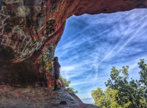
Jim Morrison Cave
3.21.2 mi / 600 ft gainNote: Jim Morrison Cave is closed indefinitely. The bright colors of the Jim Morrison Cave are something to not be missed, and is appreciated by people of all ages. The cave also provides a beautiful outlook of the Malibu canyon, Malibu State Park and the Pacific Ocean. There is a ton of rock ho...Read more -
Los Angeles, California
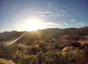
Stoney Point Park Loop
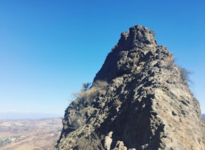
4.00.73 mi / 141 ft gainOnce you've parked along Topanga Canyon Blvd, make your way down the street and start the trail off near the steel gate, close to the horse stables. As you make your way in, you will notice some rock climbers practicing on the lower elevation rocks. Make your way around this rocky park, counter-...Read more -
Los Angeles County, California
Big Tujunga Canyon Lookouts
1.22 mi / 453 ft gainPark at the Condor Peak Trailhead, please note that this trail head is unmarked so keep your eyes peeled on the right side of the turnout for a small single track trail. The trail gradually climbs along the side of the canyon until reaching a 4 way intersection. To your left and to your right wil...Read more -
Los Angeles County, California
Trail Canyon Falls
4.04.56 mi / 1017 ft gainTo get to the trail, take Big Tujunga Canyon Road until you see signs for Trail Canyon Road. The entry point is easy to miss, but keep an eye out for a stop sign and cars parked at the bottom of a dirt path. Drive up the dirt path for direct parking at the trailhead (4x4 is definitely recommended...Read more -
Los Angeles County, California
Backbone Trail via Corral Canyon
5.02.08 mi / 89 ft gainThe backbone trail was a vision that started in the 1980’s. It is a trail that stretches 65 Miles starting in Will Rodgers State Historic Park and ending at Thornhill Broome Beach. It has many entrance and exit points but it is anchored in the middle by the Coral Canyon Trail Head. The full trail...Read more -
Malibu, California
Escondido Falls Trail
4.33.74 mi / 699 ft gainThis 3.8 mile out-and-back hike takes place on a very easy to use trail. The first 0.75 miles on Winding Way are paved, leading you up to Escondido Canyon Trail. As you head up Winding Way, it’s safest to stay on the side of the road on the dirt. You’ll take this paved road up roughly 200 feet be...Read more -
Agoura Hills, California
Ladyface Peak
4.52.05 mi / 971 ft gainLadyface is a volcanic ridge that juts up over Agoura Hills. It is a short but steep hike up the ridgeline, and it offers amazing views to either side. Sections of the trail are steep and sandy so it can be challenging to maintain your footing. Trekking poles are optional and can help with the de...Read more -
Los Angeles County, California
Switzer Falls
3.43.66 mi / 728 ft gainJust off the Angeles Crest highway, you’ll find one of LA’s best waterfalls, Switzer Falls. There is a parking lot just next to the trailhead. If you go on the weekend and run into a crowd, there’s parking near the highway, adding a little distance to your trek. Once you’ve walked through the Sw...Read more -
Los Angeles County, California
Bear Canyon via Switzer Falls Trailhead
6.67 mi / 1273 ft gainParking: Parking is available at the Switzer Falls Picnic Area, or in the two overflow lots on the hill. You will need an Adventure Pass to leave your car parked here. Make sure to follow posted signs - there are some parking spots that do not allow overnight parking. Amenities: Bear Canyon has...Read more -
Altadena, California
Gabrieleno Trail: Switzer Falls to Hahamonga Watershed
5.010.14 mi / 814 ft gainGabrieleno Trail: Switzer Falls to Hahamonga Watershed is a point-to-point trail that takes you by a waterfall located near La Canada Flintridge, California.Read more -
Los Angeles, California
Cabrillo Beach
Cabrillo Beach located in San Pedro, California is a great spot to bring the whole family. There are tide pools at the beach as well as the Cabrillo Marin Aquarium where the kiddos can get tours and more information about the sea life they're seeing. There is a parking lot at the Cabrillo Beach...Read more -
Long Beach, California
Red Car Greenbelt
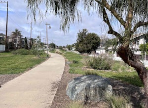
5.00.63 mi / 0 ft gainThe Greenbelt used to be the right-of-way for the long lost Pacific Electric Red Car, an amazing system of public transportation that connected Long Beach, LA, Orange Coutny, and even San Bernardino. The pathways are landscaped with plants typical of the area and plenty of native flowers for the...Read more -
Long Beach, California
Colorado Lagoon
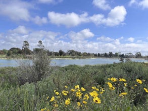
5.00.95 mi / 30 ft gainThe Colorado Lagoon is a wetland that is being restored. To make this 1 mile walk into a loop, you have to walk along sidewalks near the park. This is a very kid-friendly destination. This trail crosses over the lagoon on a boardwalk. It also accesses a sandy swimming beach with restrooms, picnic...Read more -
Los Angeles County, California
Idlehour Trail
4.014.89 mi / 4665 ft gainIdlehour Trail located near Mount Wilson, California, is an out-and-back trail that is strenuous and can take 8-10 hours if done all at once. There are opportunities to camp off the trail, making this a backpacking trail in the Angeles National Forest as well. To access the Idlehour Campground ...Read more

