Culver City, California
Looking for the best photography in Culver City? We've got you covered with the top trails, trips, hiking, backpacking, camping and more around Culver City. The detailed guides, photos, and reviews are all submitted by the Outbound community.
Top Photography Spots in and near Culver City
-
Los Angeles, California
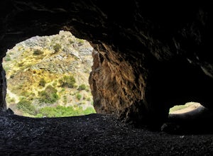
Bronson Bat Caves
3.30.61 mi / 66 ft gainWho doesn't enjoy a short hike to a scenic/remote location? I know I sure do! After hearing about this spot through word of mouth and the internet, and seemingly never having the time to check it out, I honestly have to say it was a worthwhile trip. This short 0.6 out and back hike/walk to the f...Read more -
Los Angeles, California
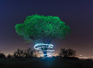
Wisdom Tree
4.80.95 mi / 528 ft gainIn Griffith Park, park along Lake Hollywood Drive and walk the paved quarter mile up Wonder View Drive to the start of Wonder View Trail. Here, walk through the yellow gate and make the first right after the road turns to dirt. Head up this unmarked single track path heading east up the mountain....Read more -
Los Angeles, California
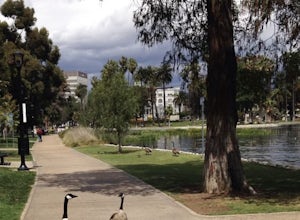
Echo Park Lake
3.00.98 mi / 0 ft gainEcho Park Lake in Los Angeles has a loop that is about 1 mile around. It’s a pretty busy park, that has ducks and geese everywhere. Beautiful lotus blossoms and iris flowers in the lake. Generally flat and one tiny incline that can easily be avoided. You can also rent swan paddleboats that light ...Read more -
Los Angeles, California
Hollywood Sign via Brush Canyon Trail
4.65.04 mi / 1155 ft gainGetting to the parking lot near the trailhead and finding an open space can seem like the most daunting part of this whole excursion. There are free parking lots along the road to the trailhead, so keep an eye out. There are also several ways to get to the trailhead from other parking areas; I ad...Read more -
Los Angeles, California
Landa St Stairs (Esther's Steps)
5.00.18 mi / 138 ft gainOne of the hidden gems of the neighborhood, a beloved local named Esther Aagaard Tapebland walked these steps everyday, for 50 years in Silver Lake. Fountain Ave becomes Landa St. Park on Griffith Park Ave and hike your way up the steep driveway. Amazing views of Hollywood, the Hollywood Sign, th...Read more -
Los Angeles, California
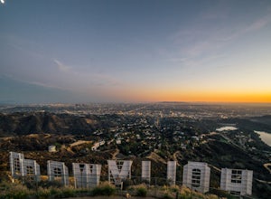
Hollyridge Trail to the Hollywood Sign [Closed]
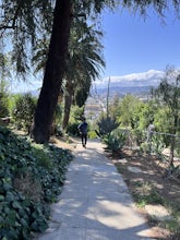
4.13.5 mi / 383 ft gainThis trail is closed as is the Beachwood Gate which is used to access the Hollyridge Trail will be permanently closed on April 18th, 2017 due to a court order. Check out Hollywood Sign via Brush Canyon Trail for an available option. There are three ways to get to the Hollywood Sign. This route ...Read more -
Los Angeles, California
Mattachine Steps
5.00.09 mi / 52 ft gainThe Mattachine Steps, also known as the Cove Avenue stairway, is dedicated to the Mattachine Society (The name was taken from a medieval French secret society that set out to right wrongs.) in 2012 in memory of Harry Hay, who cofounded the gay rights group. Right along this stairway is a small ho...Read more -
Los Angeles, California
Ord & Yale Street Park
4.0Recently opened in 2021, right behind the LA Library in Chinatown, you’ll find this secret gem, tucked away in the corner. Covered picnic tables, with checkerboard game boards in place, and all gender bathrooms with changing tables for the little ones. Two play areas as well as a small climbing w...Read more -
Los Angeles, California
Parker Mesa Overlook via Paseo Miramar
4.25.32 mi / 1099 ft gainThis 5.4-mile out-and back trail takes off from the end of the residential area of Paseo Miramar. Once you hike a little less than a quarter mile in, you'll connect with Los Liones Canyon Trail. Continue on Paseo Miramar Trail, which in another 2.5 miles, will connect you with the Parker Mesa Ove...Read more -
Manhattan Beach, California
Take a Sunset Surf at Manhattan Beach
4.4Manhattan Beach Pier is a popular spot in the South Bay of Los Angeles for surfers of all levels. With its exposed beach break with consistent surf and more than 300 days of sun per year, you can pretty much always count on good weather in Manhattan Beach so you can surf no matter the season. Ide...Read more -
Los Angeles, California
Glendale Peak via Henry's Trail
4.02.07 mi / 915 ft gainGlendale Peak is often passed over by people hiking to Mt. Hollywood, and while it is not as high as its neighbor summit, it boasts arguably better views that you will enjoy all to yourself. While not really a full hiking trail and more of a small detour, Henry's Trail is worth the small uphill c...Read more -
Los Angeles, California
Secret Stairs Astro Loop
2.34.21 mi / 600 ft gainI learned about these remnants of Los Angeles history, just a few months ago. When I found myself in L.A. this past month, I decided to find some of these stairs, and find out what they’re all about. Back in the 1920’s these stairs were created for pedestrians to have direct routes to the trans...Read more -
Los Angeles, California
Mount Hollywood via the Fern Canyon Trail
5.05.02 mi / 1581 ft gainAt 1,625 feet Mt Hollywood is the second highest point in Griffith Park and provides picturesque views of the Hollywood Sign, Griffith Park Observatory, Downtown Los Angeles and the San Gabriel Mountains. The hike to the Mt Hollywood Summit begins on the northeast side of Griffith Park near the ...Read more -
Malibu, California
Ratner Beach
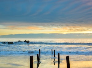
4.5Unlike most beaches in Los Angeles, this tiny little stretch of beach is usually empty, and is a little gem! It is the perfect place to get an unobstructed view of the sunset, and the sticks in the ground make for a picturesque sunset picture! Just be warned, this beach is right on PCH, so expect...Read more -
Los Angeles, California
Secret Swing in Elysian Park
4.20.16 mi / 360 ft gainFor the most direct directions to the swing, plug in "Swing on top of Elysian Park" into google maps, which will take you directly to the trailhead. If you want to do it the more old fashion way, the swing is on top of a hill at the intersection of Angels Point Drive and Park Row Drive in Elysian...Read more -
Los Angeles, California
Santa Ynez Falls
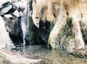
3.52.25 mi / 243 ft gainThe Santa Ynez Canyon Trail is located 10 minutes away from the beach providing you the opportunity to do this hike early in the morning and spend the rest of the day hanging out at the beach. To get to the trailhead, take Vereda de la Montura Road until you reach the private residential area (th...Read more

![Hollyridge Trail to the Hollywood Sign [Closed]](https://images.theoutbound.com/contents/101823/assets/1421740399247?w=300&h=220&fit=crop&q=60&s=2a530c5406ca77dd7baf662c74a58ba1)
