Crockett, California
The best Trails and Outdoor Activities in Crockett, California, offer a wealth of scenic adventures. A top pick is the Crockett Hills Regional Park, a must-visit for its unique array of wildflowers and bird species. The Sky Trail offers panoramic views of Carquinez Strait and San Pablo Bay, while the Sugar City Trail provides glimpses of the old sugar mill. The park is also home to a variety of wildlife, including deer, foxes, and hawks. The trail difficulty varies from moderate to challenging, making it suitable for all fitness levels. For water-related activities, the nearby Carquinez Strait offers opportunities for fishing and boating. Crockett's outdoor attractions showcase the best of California's diverse landscapes.
Top Spots in and near Crockett
-
Redwood City, California
Hike or Bike the Old Growth Redwood Loop at El Corte de Madera
4.48.8 mi / 1900 ft gainThis hike starts at the middle parking lot of the El Corte de Madera Open Space Preserve. The middle lot is located roughly a mile south on Skyline Boulevard from the Skeggs Point Vista. From the parking lot, take the Methuselah Trail for 0.3 miles until you reach the Timberview Trail. Take this ...Read more -
Cowell Ranch Beach Access, California
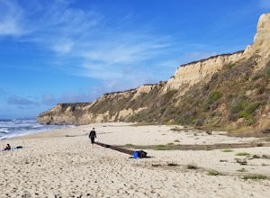
Picnic at Cowell Ranch Beach
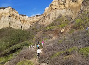
5.0Hike half a mile to this beautiful, secluded beach. There are high cliffs with a steep staircase down to the beach. The beach has wonderful rock formations on one side. It is a great place to watch the sunset or bring a picnic. A great place for a beach day if you are looking for something le...Read more -
Half Moon Bay, California
Bike the Cowell-Purisima Coastal Trail
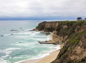
4.0This trail begins at the Cowell State Beach parking lot and is only open on the weekends. From the lot, take the short Cowell Ranch Access trail to a scenic overlook. There are steps down to the secluded pocket beach just above the main trail. The trail playfully meanders along the cliffside with...Read more -
Half Moon Bay, California
Hike the Cowell-Purisma Trail
5.07 mi / 400 ft gainThis is a popular trail that has beach access to Cowell Ranch Beach. Along the trail, there is a steep staircase that goes down to the beach. The trail also features fields, a bridge, and beautiful views of California's rugged coastline. This trail is paved in some parts, and can also be biked...Read more -
Redwood City, California
Hike the Methuselah and El Corte De Madera Creek Loop
6.2 mi / 1800 ft gainThis loop hike will provide people with the opportunity to experience the tranquility of the lower canyons of the preserve, which tend to be more isolated than the heavier-trafficked trails that are closer to the main highway. Be warned that this hike is fairly strenuous because of the large amou...Read more -
Palo Alto, California
Hike the Arastradero Preserve Loop
3.04.5 mi / 600 ft gainGetting There: From Hwy 280, take the Page Mill Road exit and head West on Page Mill Road, away from Downtown Palo Alto (if you're taking 101, exit on Oregon Expressway). Then turn right on Arastradero Road. There will be a small sign indicating the dirt parking lot on the eastern side of the str...Read more -
Calistoga, California
Hike Mount Saint Helena
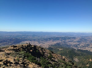
4.310 mi / 2100 ft gainDrive north from Napa following Rt 29, through Calistoga and up into the forest. After passing the sign for Robert Louis Stevenson State Park, and just over the crest, there is a parking area on the right side of the road, opposite the trailhead on the left. Parking fills up by mid-morning so get...Read more -
Portola Valley, California
Hike the Windy Hill Loop
4.37.2 mi / 1400 ft gainThis 7.2-mile loop starts by heading out of the parking lot and onto the Spring Ridge Trail. Head Southeast On Spring Ridge Trail until you connect with Hamms Gulch Trail. When you jump on Hamms Gulch, head southwest for ~3.4 miles as you circle the far end of the OSP. At this point, you will con...Read more -
Portola Valley, California
Sunrise Hike at Windy Hill
5.0There are a few options to this hike. Usually I would recommend parking in the lot on Portola Road, but because the preserve doesn't open until 30 minutes before sunrise, it's best to park up on Skyline Boulevard (Highway 35). There are two places to park up on Skyline, but the main parking lot i...Read more -
Los Altos, California
Park Day at Foothills Park
1.7Disclaimer: Foothills Park requires proof of residence in Palo Alto or being accompanied by a resident of the city. Learn more here.Foothills Park is 2.7 miles west of 280 after exiting Page Mill. After exiting you take a short scenic drive up the hill and come to the park entrance on your right...Read more -
Half Moon Bay, California
Watch the Sunset at Martin's Beach
4.5Martin's Beach is a beach about 7 miles south of Half Moon Bay. It features a large, very cool looking rock formation right off the coast. This beach is accessible via Martin's Beach Road, which is a small turn off on your right when southbound on Highway 1, though sometimes the road is only open...Read more -
Forestville, California
Canoe the Russian River via Forestville
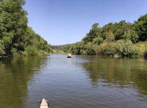
5.0Starting at Burke's Canoe in Forestville, CA this is a 10-mile self-guided canoe trip down the Russian River. You can rent your canoe from Burke's and launch from their beach. Burke's will also pick you up 10 miles down-river and shuttle you back to their parking lot.This canoe trip features lo...Read more -
Forestville, California
Steelhead Beach
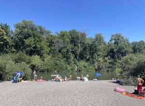
Steelhead Beach offers two great spots to access the river. There's a small beach on the right-hand side of the beach (south end) and a launch site on the left (north end) of the beach. The launch point makes for a great spot to start your float down the river. Make sure you have a shuttle car or...Read more -
Napa, California
Hike To Zim Zim Falls
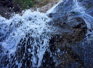
5.08 mi / 500 ft gainThis 8 mile (out and back) hike begins at the trail head off of Knoxville Road, just before mile marker 24. The first 3 miles are relatively flat, though you will cross the creek about 9 times. Right before you reach the waterfall, you will come to a fork in the trail marked by a pink boulder. St...Read more -
Occidental, California
LandPaths Grove of Old Trees
5.00.7 mi / 92 ft gainThe Grove of Old trees is a privately-owned preserve in Western Sonoma County that is open to the public year round. It is not large, only about 33 acres, but it makes a wonderful spot to go on a walk and to soak in the beauty of the redwoods. To get there from downtown Occidental, drive West up...Read more -
Santa Clara County, California
Black Mountain via Rhus Ridge Trail
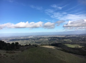
9.75 mi / 2992 ft gainJust outside of Los Altos is a very long ridge of mountains, one of which is Black Mountain. This is a very dry hike, with no tree canopy, so it can get very hot! Be aware that this can make the hike feel a lot more difficult with the sun beating down on you. Follow Rhus Ridge Trail to Black Mo...Read more


