Carnelian Bay, California
Looking for the best photography in Carnelian Bay? We've got you covered with the top trails, trips, hiking, backpacking, camping and more around Carnelian Bay. The detailed guides, photos, and reviews are all submitted by the Outbound community.
Top Photography Spots in and near Carnelian Bay
-
Frazier Creek Road, California
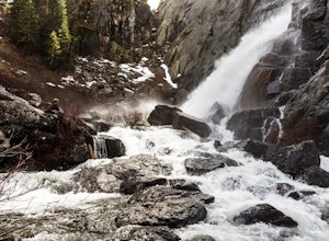
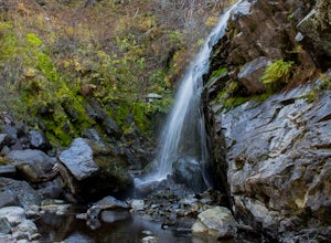
Frazier Falls
4.01.06 mi / 79 ft gainFrazier Falls is the ultimate family hike. Because the paved trail is only a mile long round trip, this trail is open to nearly anyone. Because of its relativly easy access and family friendly nature, this trail can get busy during the summer months. To reach Frazier Falls from the town of Gra...Read more -
Nevada City, California
Hike the Diggins Loop Trail
5.02.7 miCheck in and pay for your parking or present California State Parks Pass at the museum building in North Bloomfield. After paying for parking there are several different options to get onto the Diggins Loop trail. Access to the Diggins Loop trail can be found by the Park Headcounters by jumping...Read more -
Colfax, California
Hike The Historical Stevens Trail
5.08 mi / 3376 ft gainBest known as one of the most popular hiking and biking trails to the North Fork American River, in part because of the easy access from Colfax. However, this is a remote trail, and hikers are advised to bring plenty of fluids as well as carry a whistle. The entire trail is primarily shaded, pa...Read more -
Gardnerville, Nevada
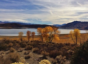
Topaz Lake
Topaz Lake is a family-friendly Lake within a days drive from Reno/ Lake Tahoe area. As you descend Washoe Valley into the Minden area, wonderful open pastures lend itself to gorgeous vistas. The Topaz Lake Recreation Area near Gardnerville on the Nevada side of the lake offers camping and a day...Read more -
Plumas County, California
Hike to Little Jamison Falls
3.02 mi / 500 ft gainTo get to the falls from the town of Graeagle, CA take Graeagle-Johnsville off Highway 89 towards the town of Johnsville. After 4.5 miles take a left on a dirt road to Jamison Mine Day Use Parking. If you go over the bridge and into the town of Johnsville, you have gone too far. Continue down th...Read more -
Nevada City, California
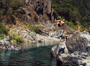
Swim at Edwards Crossing on the South Yuba River
5.02.74 mi / 1302 ft gainThere are endless swimming holes on the South Yuba River the feature crystal clear water, massive granite boulders and pristine pocket beaches, particularly those lower in the foothills. Many are separated by sections of rapids, but can be reached via the growing trail system of the South Yuba Ri...Read more -
Arnold, California
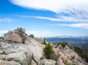
Climb Lookout Peak in the Carson-Iceberg Wilderness
5.04 mi / 1900 ft gainLookout Peak in the Carson-Iceberg Wilderness off Highway 4 provides solitude and wonderful views of the surrounding Sierra Nevada including the Mokelumnee and Emigrant Wildernesses. Even on summer weekends you'll likely have the peak and surrounding area all to yourself.Lookout Peak can be done ...Read more -
Arnold, California
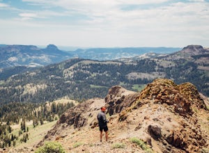
Climb Peep Sight Peak in the Carson-Iceberg Wilderness
7 mi / 1800 ft gainPeep Sight Peak in the Carson-Iceberg Wilderness off Highway 4 provides solitude and wonderful views of the surrounding Sierra Nevada including the Mokelumnee and Emigrant Wildernesses. Even on summer weekends you'll likely have the peak and surrounding area all to yourself. Peep Sight Peak can b...Read more

