Camarillo, California
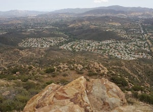
Camarillo, California is a hub for top outdoor adventures. One of the best trails is the Calleguas Creek Bike Path. This 6-mile trail offers scenic views of the local farmland and the Santa Monica Mountains. With its flat terrain and paved path, it's suitable for all fitness levels. For a more challenging trail, head to the Camarillo Grove Park. The park's trail network winds through dense oak groves and past unique rock formations. It's a must-visit for birdwatchers, with over 150 species spotted in the park. Nearby, the Conejo Valley Botanic Garden offers 33 acres of native plants and walking paths. For water-based activities, head to the nearby Channel Islands Harbor where you can kayak, sail, or simply enjoy the ocean views. With these attractions, Camarillo is a great destination for outdoor activities.
Top Spots in and near Camarillo
-
Malibu, California
Camp at Point Mugu's Sycamore Canyon Campground
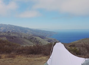
The beach at Point Mugu State Park is just far away enough from the bustling town of Malibu and its popular beaches to feel like you are still secluded with nature. A great way to be close to the beach at Point Mugu State Park and access it easily whenever you want would be to camp at the Sycamor...Read more -
9000 Pacific Coast Highway, California
Cookout at Sycamore Cove Beach
If you ever wanted to see dolphins and seals playing and feeding in the surf while getting ready to barbecue, this is the spot for it. Whether you want some summer rays or some of our wicked wacky winter weather, Sycamore Cove will deliver. Usually isolated enough to keep large crowds away, this ...Read more -
Ventura, California
Hike Arroyo Verde Park
3.5 mi / 800 ft gainArroyo Verde Park is a small parked tucked in the hills above Ventura, California, and has a network of trails running up and down the hills surrounding the valley in the center of the park. The entrance to the park is at the intersection of Foothill Road Day Road, east of downtown Ventura. There...Read more -
Ventura, California
Backpack to Del Norte Campground on Santa Cruz Island
5.07 mi / 700 ft gainDel Norte Backcountry Campground is located on Santa Cruz Island, one of the islands that makes up Channel Islands National Park. It is California's largest island and is almost three times the size of Manhattan. The easiest way to get to the island is to take Island Packers, a ferry service that...Read more -
Malibu, California
Leo Carillo State Beach
4.5Leo Carrillo State Park has 1.5 miles of two sandy beach areas, tide pools, and numerous coves and sea caves. This year-round paradise offers privacy and ocean access for anglers, divers, surfers, wildlife watchers, beachcombers, and campers. If you're headed here for day-use, there are also tide...Read more -
Ventura, California
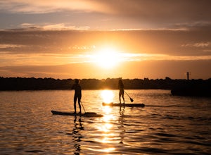
Stand Up Paddleboard the Ventura Harbor
The Ventura Harbor provides a protected entry/exit to the Pacific Ocean and is a great place to start a paddleboarding adventure. Marina Park, at the end of Pierpont Boulevard, has a ton of parking, a free public launch, and there are boards to rent along the harbor. From the launch you can head...Read more -
Malibu, California
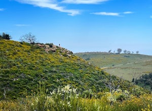
Reservoir Trail to East Meadow Trail Loop
2.3 mi / 334 ft gainReservoir Trail to East Meadow Trail Loop is a loop trail where you may see wildflowers located near Malibu, CaliforniaRead more -
Malibu, California
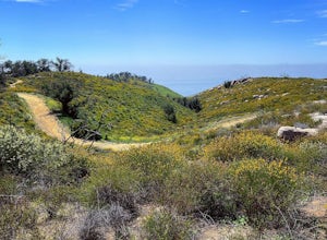
Ocean Overlook Loop Trail
4.02.7 mi / 397 ft gainOcean Overlook Loop Trail is a loop trail where you may see beautiful wildflowers located near Malibu, California.Read more -
Santa Paula, California
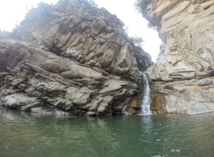
Santa Paula Punch Bowls
3.66.5 mi / 1037 ft gainThis is a 6.5 mile trail, out and back. Parking is available along Ojai St, and the trail starts at the entrance of Thomas Aquinas College. Follow the paved road that goes around the school, until you reach a fork on the road, then stay right. The trail will take you through Ferndale Ranch, just ...Read more -
Oak Park, California
China Flat Trail to Simi Peak
5.05.03 mi / 1398 ft gainFrom the trailhead, simply follow the trail headed up the mountain. The first 2 miles is the hardest part of the hike, because of the steep ascent. Continue on until you hit a junction. Turn left, and you will eventually see an old rusty gate, and a sign which says "China Flat Trail". You will ...Read more -
Ventura, California
Bike the Ventura Promenade
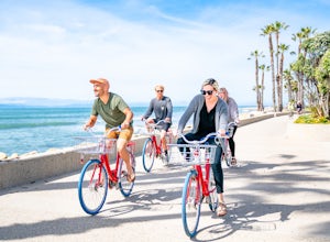
0.5 mi / 0 ft gainThe Ventura Promenade is a .5 mile long biking and walking trail that runs from the Ventura Pier to Sufer's Point, eventually connecting to the Ventura River & Ojai Bike Trail. It is also part of the the larger "Omer Rains Trail" which runs some 3.5 miles to the south through Buenaventura Sta...Read more -
Malibu, California
El Matador Beach
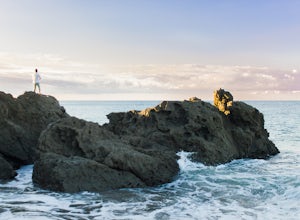
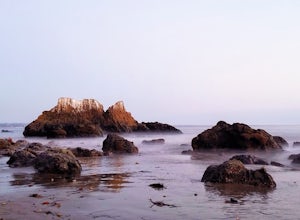
4.6There's something magical about this strip of beach and it never fails to deliver at sunset. Lined with strange and jagged rock formations/caves, there are endless opportunities for finding unique compositions and new perspectives. Although it's become quite the popular spot for photographers and...Read more -
Ventura, California
Surf Ventura Point
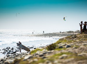
4.0Surfer’s Point, off Figueroa Street, includes one of California’s premier surfing and windsurfing spots. A landscaped promenade and the Omer Rains Bike Trail connect this sandy beach to the Ventura Pier. Promenade Park, next to the beach commemorates the site of an ancient Chumash village. Beach ...Read more -
Ventura, California
Bike the Ventura, Santa Paula, and Ojai Loop
48.8 mi / 2081 ft gainThe Ventura - Ojai - Santa Paul loop is a classic half-century loop throughs some of the most beautiful cycling roads on the Central Coast. Beginning in Ventura and heading on the off-road (but paved) Ventura / Ojai trails, this loop then heads into downtown Ojai before following Ojai Valley Road...Read more -
Ventura, California
Bike the Rincon Trail
5.028.4 mi / 720 ft gainThe Rincon Trail between Ventura and Santa Barbara is part of the wonderful Pacific Coast Bike Route, and features two-wave paved cycling lanes with beautiful views up and down the central coast. There are numerous places to stop along the way for food and relaxing, including the great seaside to...Read more -
Ventura, California
Bike the Lake Casitas Loop
1.048.9 mi / 3635 ft gainThe Lake Casitas Loop s a fantastic cycling trail leading from Ventura, California through Ventura Canyon, around Lake Casitas and up over Casitas Pass, down through Rincon Canyon to the ocean and south on Rincon Trail back to Ventura. It covers almost all of the ecological zones and topographica...Read more

