Boulder Creek, California
Looking for the best hiking in Boulder Creek? We've got you covered with the top trails, trips, hiking, backpacking, camping and more around Boulder Creek. The detailed guides, photos, and reviews are all submitted by the Outbound community.
Top Hiking Spots in and near Boulder Creek
-
Carmel-by-the-Sea, California
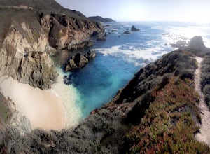
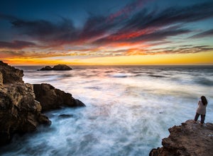
Secluded Beach Near Soberanes Point
5.00.2 mi / 40 ft gainWhen we stumbled upon this beach we were thrilled to have such great views with no crowds. There is plenty of room to lay out in the sun, you can swim in the ocean to cool off, and the beach is surrounded by beautiful landscape. If you decide to swim be very careful as the waves and currents ca...Read more -
Oakland, California
East & West Ridge Loop
4.53.47 mi / 833 ft gainTucked away in the hills of Oakland, you will find one of the homes of California's Coastal Redwoods. Created by a unique geographical circumstance, this forest breathes winds funneled through the Golden Gate across the bay, which created environment opportune for Redwood growth. These Redwoods a...Read more -
San Francisco, California
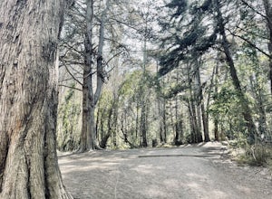
Lover's Lane, Ecology, Mountain Lake Trail Loop
4.52.04 mi / 344 ft gainTucked into a corner of the Golden Gate National Recreation Area is the Presidio, a beautiful little oasis of forests, beaches, and sweeping views that locals love. While the coastal trails get most of the attention here, the park covers 300 acres of prime real estate with lots of notable attract...Read more -
San Francisco, California
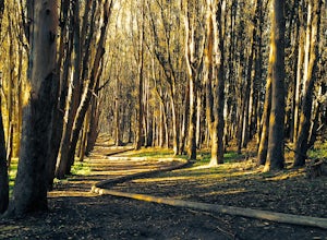
Presidio Ecology Trail
5.01.82 mi / 427 ft gainPresidio Ecology Trail is a loop trail through the Presidio located near San Francisco, California. This loop can be started at the Upper Ecology Trail off of Arguello Blvd near Pacific or down at the Lower Ecology Trail near the Inn at the Presidio. This trail is dog friendly on-leash.Read more -
San Francisco, California
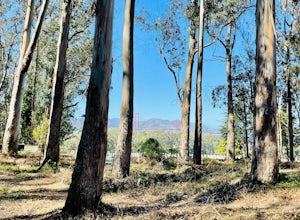
Presidio Bay Area Ridge Trail
5.02.73 mi / 203 ft gainPresidio Bay Area Ridge Trail is a point-to-point trail where you may see wildflowers located near San Francisco, California.Read more -
Carmel-by-the-Sea, California
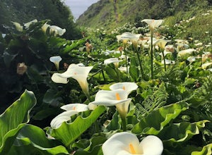
Calla Lily Valley
4.50.31 mi / 46 ft gainParking for Calla Lily Valley is available along the dirt pullout at Gate 19 for Garrapata State Park, near mile-marker 63. Signs are small and difficult to see. Follow the path between the guide wires and take the right fork, heading north to the bluff overlooking the beach. Continue north and f...Read more -
San Francisco, California
Lands End Trail
4.73.26 mi / 500 ft gainThe Lands End Trail is a 3.26 mile out-and-back hike located in the northwest corner of San Francisco along the city's rugged coastline. Offering spectacular views of the Golden Gate Bridge, Marin Headlands, and the Pacific Ocean, the hike is one of the most popular trails in San Francisco for ...Read more -
Carmel-by-the-Sea, California
Garrapata Beach
4.6A wonderful roadside beach and state park. Easy parking on both sides of Hwy. 1 with short access trails. There are almost 2 miles of coastline trails heading north and south from the parking area. The north end of the beach is great for swimming and surfing when the sea is calm and the south ...Read more

