Bishop, California
Looking for the best fishing in Bishop? We've got you covered with the top trails, trips, hiking, backpacking, camping and more around Bishop. The detailed guides, photos, and reviews are all submitted by the Outbound community.
Top Fishing Spots in and near Bishop
-
Fresno County, California
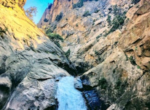
Explore Zumwalt Meadow and Roaring River Falls
4.54.1 mi / 475 ft gainThe Zumwalt Meadow and Roaring River Falls Trail is a 4.1 mile hike in Kings Canyon National Park. You feel remote, even with a road nearby. The minimal elevation change makes this a scenic hike for all skill levels. Bring bug spray and wear long sleeve hiking clothing in August, as the bugs are ...Read more -
Madera County, California
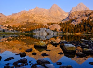
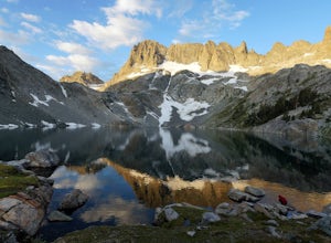
Ediza Lake via Agnew Meadows
4.013.54 mi / 1804 ft gainStart at the Agnew Meadows Trailhead. You will need to arrive before 7:30AM or take the Shuttle from Mammoth Mountain. Start out by heading north on the John Muir Trail. You will pass Shadow Lake; walk around the south side of the lake for mountain views. Then, follow the trail up Shadow Creek u...Read more -
Madera County, California
Climb Mount Ritter
Mt Ritter is a long climb, but it is worth the effort. Start out by establishing camp at Ediza Lake prior to your ascent. The SE Glacier route (first ascent by John Muir) follows the path of least resistance up the SE side of Mt Ritter.The route first gains a broad bench below Ritter and Banner P...Read more -
Mammoth Lakes, California
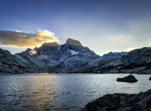
Agnew Meadows to Tuolumne Meadows
5.030.27 mi / 4757 ft gainUnlike most through hikes that require two cars or hitchhiking, you can accomplish this with only one car by using a YART. Another benefit is that by entering in Mammoth, it is usually much easier to get permits as opposed to starting in Yosemite where permits can be harder to get. Then once yo...Read more -
Madera County, California
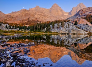
Backpack the Shadows of the Minarets Loop
5.016 miAnsel Adams Wilderness is located in Mammoth Lakes, California. The trail to Lake Ediza is frequently traveled and is usually completed as an out-and-back day hike. In the summer, from 7am-7pm the road to the trail head is inaccessible to cars. To reach the trailhead you must take the shuttle fro...Read more -
June Lake, California
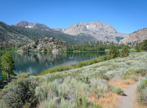
Explore June Lake
4.7June Lake is a hidden gem in the Eastern Sierra, just north of Mammoth Lakes. June Lake is a quaint little lake with spectacular views. The neighboring town of the same name also boasts a brewery with tasty brews. For a truly unforgettable sunset, grab some brews and walk over to June Lake for th...Read more -
June Lake, California
Gull Lake Loop
1.97 mi / 174 ft gainGull Lake trail is one of my favorite hiking spots in the June Lake Loop area. It is a very scenic trail that goes through varying terrains from meadows to marshes to aspen and conifer groves. Trailhead starts at the Mono County Community Center and winds counter-clockwise around the lake to th...Read more -
Shaver Lake, California
Balsam Forebay
4.01.05 mi / 62 ft gainAccess to the forebay starts at the trail head from the parking lot 6,700 ft up, also from the parking lot there is access to two different sets of boulder patches separate from the ones encountered along the hike in. Hike Start the 1 mile out and back hike from the parking lot following the t...Read more -
Hume, California
Hike and Fish Hume Lake
2.73.5 mi / 100 ft gainThis spot is less than four hours from the Bay Area and offers everything you would ever want to do in the outdoors. The interesting thing about Hume Lake is that it is actually a Middle School and High School camp in the Summer and Winter. That being said, it is not the place to go if you are lo...Read more -
Tulare County, California
Backpack to Weaver Lake, CA
7 mi / 1075 ft gainThe hike to Weaver Lake begins at the Big Meadows trailhead in Sequoia National Forest (elevation: 7,633 ft.). There is roadside parking at the beginning of the trailhead and more parking available just inside the gate. At the trailhead, there is a vault toilet, trash receptacle, and map of the a...Read more

