Big Bear Lake, California
Looking for the best photography in Big Bear Lake? We've got you covered with the top trails, trips, hiking, backpacking, camping and more around Big Bear Lake. The detailed guides, photos, and reviews are all submitted by the Outbound community.
Top Photography Spots in and near Big Bear Lake
-
Desert Hot Springs, California
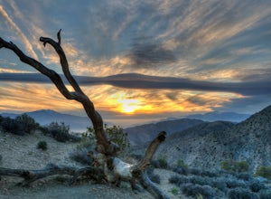
Catch a Sunset at Keys View in Joshua Tree NP
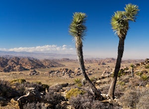
5.0This is a great place to watch the sunset, perched on the crest of the Little San Bernardino Mountains, provides panoramic views of the Coachella Valley and is well worth the 20-minute drive from Park Boulevard down Keys View Road. The views reach as far south as Salton Sea and on some clear days...Read more -
Desert Hot Springs, California
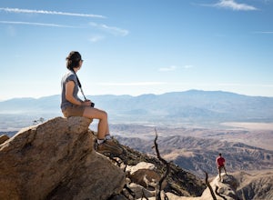
Inspiration Peak in Joshua Tree
1.81 mi / 425 ft gainMost automobile-bound visitors to Joshua Tree make their way to Keys View, and why wouldn't they? It has some of the best views in the park and with it, some of the biggest, loudest crowds. Most don't realize that a short hike away is even *better* views and, if you're lucky, solitude, on top of ...Read more -
Riverside County, California
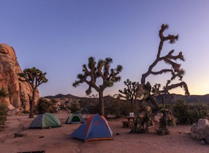
Camp at Ryan Campground in Joshua Tree NP
5.0The Ryan Campground is but one of many beautiful campgrounds in Joshua Tree National Park. It is located just south of the Hidden Valley use area. There are 31 sites as well as a horse camp. This campground does not have water, but does have pit toilets.For weekend trips into Joshua Tree, it is o...Read more -
Twentynine Palms, California
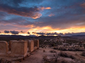
Ryan Ranch
0.75 mi / 56 ft gainIf you're in Joshua Tree, this is a great spot for sunset. A short, maybe 1/2 mile hike to the old ranch from the parking lot. We stayed at Ryan Campground and just walked in from there, about the same distance. Make sure to bring your camera, especially if there are spotty clouds in the sky a...Read more -
Riverside County, California
Hall of Horrors
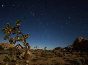
0.75 mi / 95 ft gainA trip to Joshua Tree is an adventure in itself, but if you plan so that you are shooting Joshua Tree under a full moon, you'll lose yourself in its beauty all over again. See the park's gorgeous, unique characteristics in a completely different light. Although there may seem to be infinite loca...Read more -
Riverside County, California
Hike Ryan Mountain
4.82.86 mi / 1056 ft gainOne of the most prominent peaks in Joshua Tree National Park in Ryan Mountain. It's centrally located rising to a total of 5,456 feet above the valley floor. The trail to the peak is a moderate hike with a little over 1,000 feet elevation gain with panoramic views of Lost Horse Valley, Queen Vall...Read more -
Riverside County, California
Winter Hike to Ryan Mountain
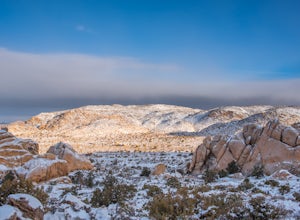
2.86 mi / 1056 ft gainHike starts at the base of Ryan Mountain. The trail runs along side the mountain, offering great views overlooking Joshua Tree. Once you hit the summit, you'll get great panormaic views of the national park as the top of Ryan Mountain is at an elevation of 5457ft. The trail is open during all se...Read more -
Riverside County, California
Hike to Lost Horse Mine
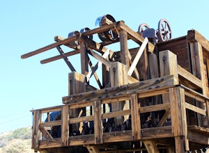
4.09 mi / 545 ft gainTo get to the trailhead, take Key's View Road from Park Blvd for around 2.5 miles and turn left onto a dirt road. The trailhead is at the end of this road. From here, you have the option to do the 6.1 mile loop or the 4 mile roundtrip out and back. This trail takes you through a beautiful desert ...Read more -
Corona, California
Skyline Drive Trail
3.09.07 mi / 1946 ft gainThis trail is shared by hikers, mountain bikers and trail runners. Rock climbers can find areas to boulder off the trail. Bring lots of extra water as this trail is rather dusty and can get very hot. This is a good training hike for those looking to do some backpacking. The trail is open year-r...Read more -
Azusa, California
Bighorn Mine Trail
5.03.69 mi / 607 ft gainIf you decide to head over to Wrightwood for some skiing during the winter, make sure to get a hike in while you’re at it. There are several trail systems along the Angeles Crest Highway (Hwy 2), and one of them is scenic Big Horn Mine Trail. The end point of the hike is the historic and abandone...Read more -
Azusa, California
Summit Mt. Baden-Powell
5.07.86 mi / 2808 ft gainThis well maintained and well traveled trail is a popular route with day hikers, backpackers, and Pacific Crest Trail through hikers. Since the trail is on the face of the mountain, snow may linger late into the season. The Pacific Crest Trail is clearly marked on the western corner of the Vinc...Read more -
La Verne, California
Cattle Canyon Trail
6.7 mi / 1066 ft gainWithin the San Gabriel Mountains from Highway 39 and along East Fork Road is Cattle Canyon. To go through Cattle Canyon, you can access the trail head just south of the Bridge to Nowhere trail head along East Fork Road right after it intersects with Glendora Mountain Road. There is a small parkin...Read more -
La Verne, California
Marshall Canyon Trail
4.05.99 mi / 722 ft gainFor this adventure you can choose to start in a multiple of places; for the easiest parking use Oak Mesa Park located next to Oak Mesa Elementary School. From the parking lot cross the soccer field towards the bridge on the north east end of the school. Once across the bridge follow Los Robles ea...Read more

