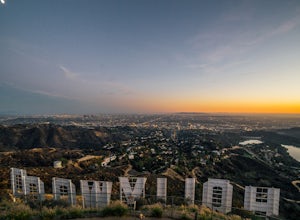
Arcadia, California
Looking for the best chillin in Arcadia? We've got you covered with the top trails, trips, hiking, backpacking, camping and more around Arcadia. The detailed guides, photos, and reviews are all submitted by the Outbound community.
Top Chillin Spots in and near Arcadia
-
Los Angeles, California
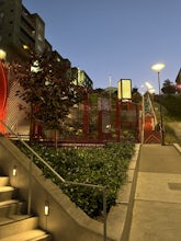
Ord & Yale Street Park
4.0Recently opened in 2021, right behind the LA Library in Chinatown, you’ll find this secret gem, tucked away in the corner. Covered picnic tables, with checkerboard game boards in place, and all gender bathrooms with changing tables for the little ones. Two play areas as well as a small climbing w...Read more -
Palmdale, California
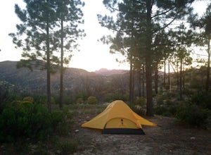
Camp at Chilao Campground
4.3While not as popular as shady Buckhorn Campground up the road, Chilao offers the better views and greater chances of scoring a peaceful and private campsite. There are two campsites located here (and two group camps down in the valley). Sites are first come, first serve, and cost $12 (bring exact...Read more -
Los Angeles, California
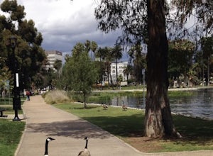
Echo Park Lake
3.00.98 mi / 0 ft gainEcho Park Lake in Los Angeles has a loop that is about 1 mile around. It’s a pretty busy park, that has ducks and geese everywhere. Beautiful lotus blossoms and iris flowers in the lake. Generally flat and one tiny incline that can easily be avoided. You can also rent swan paddleboats that light ...Read more -
Los Angeles, California
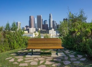
Vista Hermosa Natural Park
4.20.58 mi / 36 ft gainVista Hermosa Natural Park is part of the Santa Monica Mountains Conservancy and the Mountains Recreation and Conservation Authority. Located in the western gateway to Downtown Los Angeles, it’s very easy to drive by this hidden gem if you’re not looking for it. This park is the perfect mix of ur...Read more -
Los Angeles County, California
Big Tujunga Canyon Lookouts
1.22 mi / 453 ft gainPark at the Condor Peak Trailhead, please note that this trail head is unmarked so keep your eyes peeled on the right side of the turnout for a small single track trail. The trail gradually climbs along the side of the canyon until reaching a 4 way intersection. To your left and to your right wil...Read more -
Glendale, California
Brand Library Loop
5.06.56 mi / 2648 ft gainYour adventure will start at the Brand Library parking lot. Walk behind the library towards the gated day use area and you will find the start of the trail on your right, Las Flores MTWY. The first half-mile rises over 500 feet to a plateau, equipped with benches, a park map and views of Griffit...Read more -
Los Angeles, California
Piano Mural Staircase aka “Murray Staircase”
5.00.08 mi / 69 ft gainThe “Piano Stairs” is a stair mural in Silver Lake neighborhood section of LA. Not to be confused with the “Music Box” staircase that is close by. These 90 steps were painted to look like the piano keyboard by the artist Carrey. Great for a cardio workout and not as creepy as some of the stairs h...Read more -
Los Angeles, California
Mount Hollywood via the Fern Canyon Trail
5.05.02 mi / 1581 ft gainAt 1,625 feet Mt Hollywood is the second highest point in Griffith Park and provides picturesque views of the Hollywood Sign, Griffith Park Observatory, Downtown Los Angeles and the San Gabriel Mountains. The hike to the Mt Hollywood Summit begins on the northeast side of Griffith Park near the ...Read more -
Los Angeles, California
Micheltorena Stairs
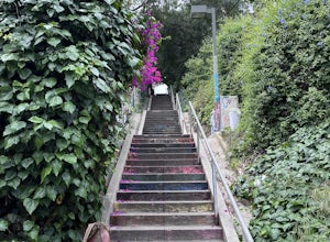
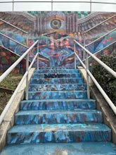
3.00.19 mi / 75 ft gainI preferred the steps, before anything was painted on them. Whoever thought it would be a great idea to do that was wrong. No upkeep and these stairs have been heavily vandalized. The steps are a series of stairways you will find throughout Silver Lake and neighboring areas. They facilitated peo...Read more -
Los Angeles, California
Hoover Walk
4.0In 2009, the people that lived in the neighborhood, close to the stairs, wanted to find a way to fight the graffiti that was being put on the structures and stairs themselves. Artist Ricardo Mendoza was commissioned to paint a giant mural that would cover most of the concrete walls that surround ...Read more -
La Verne, California
Marshall Canyon Trail
4.05.99 mi / 722 ft gainFor this adventure you can choose to start in a multiple of places; for the easiest parking use Oak Mesa Park located next to Oak Mesa Elementary School. From the parking lot cross the soccer field towards the bridge on the north east end of the school. Once across the bridge follow Los Robles ea...Read more -
Los Angeles, California
Glendale Peak via Henry's Trail
4.02.07 mi / 915 ft gainGlendale Peak is often passed over by people hiking to Mt. Hollywood, and while it is not as high as its neighbor summit, it boasts arguably better views that you will enjoy all to yourself. While not really a full hiking trail and more of a small detour, Henry's Trail is worth the small uphill c...Read more -
Pearblossom, California
Snowshoe Buckhorn Ridge Trail
2.5 mi / 700 ft gainLocated 1 mile east of the Mt Waterman Ski Resort, Buckhorn Ski Hill is a great place to enjoy a leisurely stroll through a snow-covered forest, complete with views of towering Mt Waterman. To get here take I-210 toward La Canada, exit on to California Highway 2 (Angeles Crest Highway) heading no...Read more -
Burbank, California
Vital Link Trail
4.03.72 mi / 1775 ft gainFrom I-5, take the Burbank Blvd exit. Drive north on Burbank Blvd. and take a right on N 3rd. Left on E Harvard. Right on Wildwood Canyon after 1.5 miles. There are a few ways you can begin your hike: from the parking lot, the entrance will be to the left past the gate. Here you were have a stee...Read more -
Pearblossom, California
Cooper Canyon Trail Camp
5.37 mi / 1214 ft gainThere's a small parking lot just below Cloudburst Summit on the way to Mount Waterman. Start your adventure there. I'd be hard-pressed to say it's more than 15 yards from the sign for the summit (7018' AMSL). There's a fire road, if you're newer to altitude and don't know how to read a map (or e...Read more -
Los Angeles, California
Hollywood Sign via Brush Canyon Trail
4.65.04 mi / 1155 ft gainGetting to the parking lot near the trailhead and finding an open space can seem like the most daunting part of this whole excursion. There are free parking lots along the road to the trailhead, so keep an eye out. There are also several ways to get to the trailhead from other parking areas; I ad...Read more

