Apple Valley, California
Looking for the best photography in Apple Valley? We've got you covered with the top trails, trips, hiking, backpacking, camping and more around Apple Valley. The detailed guides, photos, and reviews are all submitted by the Outbound community.
Top Photography Spots in and near Apple Valley
-
Pearblossom, California
Cooper Canyon Falls via Burkhart Trail
5.03.01 mi / 755 ft gainBurkhart Trail is well-defined and easy to follow through an unbelievable old growth of Jeffrey pines, incense-cedars and surprisingly, redwoods! At 0.25 miles, there is a steep spur trail near a large pile of boulders that leads to a popular swimming area, often frequented by guests of the campg...Read more -
Pearblossom, California
Snowshoe Buckhorn Ridge Trail
2.5 mi / 700 ft gainLocated 1 mile east of the Mt Waterman Ski Resort, Buckhorn Ski Hill is a great place to enjoy a leisurely stroll through a snow-covered forest, complete with views of towering Mt Waterman. To get here take I-210 toward La Canada, exit on to California Highway 2 (Angeles Crest Highway) heading no...Read more -
Pearblossom, California
Mt. Waterman
5.05.87 mi / 1499 ft gainMt. Waterman is accessed along Highway 2 in the Angeles National Forest. Heading east from La Canada look for mileage marker 58.0 (34 miles from La Canada) just past the closed ski resort. Park at one of the large paved turnouts on your left. Display an Adventure Pass ($5 at Ranger Station or Big...Read more -
Pioneertown, California
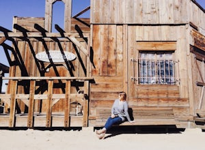
Visit Historic Pioneertown
Here in California we have a lot of desert to sift through. When trying to figure out how to navigate the mass, you have to know the places worth fighting the brutal heat or chilling cold. Pioneertown will lure you in regardless. You will see why as you make your way up the 4-mile winding road of...Read more -
Landers, California
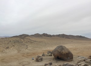
Explore Giant Rock
This is an adventure that my wife and me have been wanting to do for a while now. We finally decided to make the 30 minute journey out to Landers from Yucca Valley. There are quite a few points of interest along the way, but that is a story for another adventure.Giant Rock is 5.2 miles northwest ...Read more -
Pearblossom, California
Camp at Horse Flats Campground
3.0The Horse Flats Campground is located 29 miles up Highway 2 from Interstate 210. You will turn left at the Santa Clara Divide Road(this intersection is also known as 3 Points). 3 miles down the road you will turn left to enter the campground. I have camped here a few times and its always been pre...Read more -
Palmdale, California
Hike to Vetter Mountain and the Fire Lookout Tower
2.8 mi / 550 ft gainIf you're looking for an easy mountain to hike, and perhaps give the kids something interesting to learn about at the top, then Vetter Mountain may fit the bill. At 5,908', and with a trailhead at about 5,350', this 1.4 mile (one way) hike only climbs about 550' vertical. The trailhead is loca...Read more


