Angelus Oaks, California
Looking for the best photography in Angelus Oaks? We've got you covered with the top trails, trips, hiking, backpacking, camping and more around Angelus Oaks. The detailed guides, photos, and reviews are all submitted by the Outbound community.
Top Photography Spots in and near Angelus Oaks
-
Riverside County, California
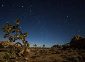
Hall of Horrors
0.75 mi / 95 ft gainA trip to Joshua Tree is an adventure in itself, but if you plan so that you are shooting Joshua Tree under a full moon, you'll lose yourself in its beauty all over again. See the park's gorgeous, unique characteristics in a completely different light. Although there may seem to be infinite loca...Read more -
Dawson Saddle, California
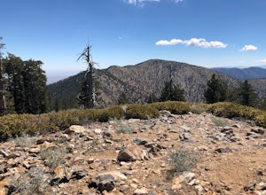
Hike to Throop Peak, Mt. Hawkins, and Mt. Burnham
8 mi / 2000 ft gainThe trailhead, or pair of trailheads actually, is at a location on the Angeles Crest Highway (CA-2) called Dawson's Saddle. There are a couple of parking areas along the side of the highway, and each of the pair of trailheads begins at either end of this parking area. The trailheads aren't mark...Read more -
Riverside County, California
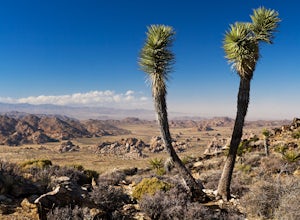
Hike Ryan Mountain
4.82.86 mi / 1056 ft gainOne of the most prominent peaks in Joshua Tree National Park in Ryan Mountain. It's centrally located rising to a total of 5,456 feet above the valley floor. The trail to the peak is a moderate hike with a little over 1,000 feet elevation gain with panoramic views of Lost Horse Valley, Queen Vall...Read more -
Riverside County, California
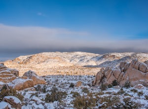
Winter Hike to Ryan Mountain
2.86 mi / 1056 ft gainHike starts at the base of Ryan Mountain. The trail runs along side the mountain, offering great views overlooking Joshua Tree. Once you hit the summit, you'll get great panormaic views of the national park as the top of Ryan Mountain is at an elevation of 5457ft. The trail is open during all se...Read more


