Amador County, California
Looking for the best photography in Amador County? We've got you covered with the top trails, trips, hiking, backpacking, camping and more around Amador County. The detailed guides, photos, and reviews are all submitted by the Outbound community.
Top Photography Spots in and near Amador County
-
South Lake Tahoe, California
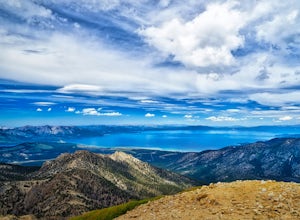
Hike to Freel Peak
5.07.3 mi / 2474 ft gainMt. Tallac may be one of the Lake Tahoe Basin's most famous peaks to hike because of its fantastic views of Lake Tahoe, but my personal favorite view in Tahoe is from the top of Freel Peak or Jobs Sister. Freel Peak is the tallest peak in the Lake Tahoe Basin at 10,881 feet.From the top of Freel...Read more -
El Dorado County, California
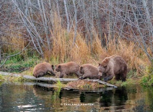
Photograph Black Bears at Taylor Creek, South Lake Tahoe
/ 30 ft gainLake Tahoe is a tourist attraction filled with spectacular views and a plethora of wildlife. However, one species in particular has made a lasting impression on both locals and tourists - black bears. The area around Lake Tahoe is prime bear habitat and cities in the vicinity are seeing a rising ...Read more -
South Lake Tahoe, California
Baldwin Beach
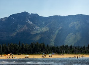
4.5Baldwin Beach offers a half mile of views of Lake Tahoe and the Sierra Nevada mountains. People come to this beach to relax and picnic. This is also a popular launch spot for those kayaking or stand up paddling to Emerald Bay. This beach is on national forest land and has a parking fee of $8.00...Read more -
South Lake Tahoe, California
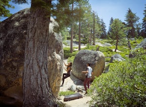
Boulder at D.L. Bliss State Park
This place is bouldering heaven. Short approach to the first boulders, challenging routes for every level, good landings, and set in a beautiful area. It's like Bishop, but without the long drive.Technically you can come anytime in the season, but it is highly suggested to get a morning session i...Read more -
South Lake Tahoe, California
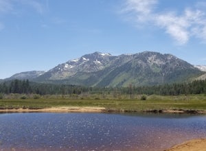
Chillin at Lake Tahoe's Kiva Beach
4.7Kiva is a secluded sandy crescent beach flanked by a beautiful meadow and mountain backdrop. This beach is rarely crowded and has free parking unlike other beaches in Tahoe. Kiva is a great place to bring dogs and is actually well known as a dog beach. Kiva is also accessible from the bike trail...Read more -
South Lake Tahoe, California
Paddle from Kiva Beach to Emerald Bay
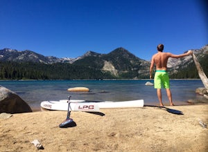
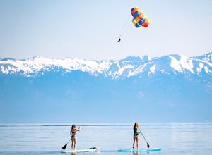
4.0Grab your paddleboard or rent one from Baldwin Beach, and head out along the southwest shores of Lake Tahoe towards Emerald Bay. Enjoy the pristine blue water and keep your head up for the occasional osprey or bald eagle.Once you make it to the bay, there are plenty of places to go. You can relax...Read more -
Tahoe City, California
Hike the Ellis Peak Trail
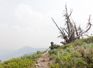
5.06.3 mi / 1660 ft gainThe Ellis Peak Trail is close to North Lake Tahoe. The trail features scenic wildflowers in the spring and summer. Dogs are allowed on the trail but must be kept on leash. Directions from Truckee: Take Highway 80 south and drive to Tahoe City - continue south on Highway 89 from Tahoe City for 4....Read more -
South Lake Tahoe, California
Hike the Lighthouse Trail at D.L. Bliss State Park
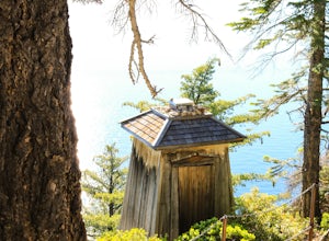
4.82.3 mi / 505 ft gainThe Lighthouse Trail is a 2.3 mile loop located in D.L. Bliss State Park on the lower west side of world famous Lake Tahoe. To get the trail, enter the park through the main entrance ($10 parking fee), the follow the road until you see two parking areas of the left side with about 6 or 7 spots e...Read more -
South Lake Tahoe, California
Hike the Rubicon Trail
5.07 mi / 400 ft gainThe Rubicon Trail is a through hike connecting D.L. Bliss State Park and Emerald Bay State Park. You can start at either point. I opted to start at D.L. Bliss State Park to avoid the long walk uphill to catch the Nifty Fifty shuttle. Also, there is more available parking at Bliss. Park your c...Read more -
Pinecrest, California
Backpack to Bear Lake (Emigrant Wilderness)
4.58.34 mi / 705 ft gainStart by picking up your wilderness permit at the Summit Ranger Station near Pinecrest - (209) 965-3434. There's no quota for this area, so no need for reservations in advance. To reach the trailhead, make your way south from the Ranger Station and turn left onto Crabtree Rd. Drive along this ro...Read more -
South Lake Tahoe, California
Catch a Sunset at Keys Beach
Owned by the State of California, Keys Beach sits at the end of a peninsula bordered by the Tahoe Keys marina inlet to the west and the Upper Truckee River to the east. This relative isolation along with its only access being by water or a single trail keeps the beach remarkably quiet relative to...Read more -
Tuolumne County, California
Backpack Chewing Gum Lake
3.34.5 mi / 1000 ft gainChewing Gum Lakes is located in Emigrant Wilderness, South of Lake Tahoe and North of Yosemite, with stunning valley views and gorgeous granite faces, peaking through the tree lines of the Stanislaus National Forest. Sitting just north of Yosemite allows you to take in a portion of the beauty of ...Read more -
Tahoma, California
Backpack to Crag Lake
4.011.1 mi / 1220 ft gainDay 1:This trip is a great early season trip while you are waiting for the snow to melt in the high country or it could be a good first backpacking trip because of its proximity to the trailhead and the fact that it's a relatively easy hike. Also, you get to camp by a beautiful lake with a drama...Read more -
South Lake Tahoe, California
Stand Up Paddle Board Yoga at Lakeview Commons
Stand up paddle board yoga is some of the most difficult and rewarding yoga there is and you would be hard-pressed to find a more beautiful place to do so than on the south shore of Lake Tahoe. Lakeview Commons is a city park that provide direct lake access for the public, including boats, along...Read more -
Grass Valley, California
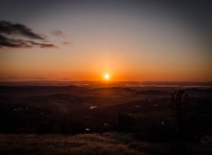
Photograph a Sunset on Wolf Mountain
5.0While all of the hiking trails to the Wolf Mountain summit cross private land, Wolf Mountain Road provides public access to several excellent viewpoints overlooking the Central Valley and the nearby ruins of old radio towers.To get there take McCourtney Road west from CA Highway 49/20 and go 3.2 ...Read more

