Acton, California
Looking for the best photography in Acton? We've got you covered with the top trails, trips, hiking, backpacking, camping and more around Acton. The detailed guides, photos, and reviews are all submitted by the Outbound community.
Top Photography Spots in and near Acton
-
Malibu, California
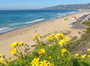
Paradise Cove via Point Dume
5.04.74 mi / 338 ft gainYou will start your beach-hiking to Paradise Cove from Point Dume which is located 20 miles north of Santa Monica on Pacific Coast Highway (PCH). On PCH, take left on Westward Beach Road and follow it to the end. Try to park as close to the end of the paid parking lot. You can use the automated m...Read more -
Palos Verdes Estates, California
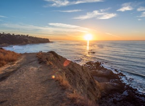
Bluff Cove
4.40.56 mi / 144 ft gainParking for Bluff Cove is located along the sides of the street of Paseo Del Mar, and the trailhead is located right next to the street. Bluff Cove is one of those unique locations in that there are a variety of activities you can do here. It is a great location for surfing, paddle boarding, bod...Read more -
Long Beach, California
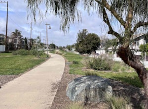
Red Car Greenbelt
5.00.63 mi / 0 ft gainThe Greenbelt used to be the right-of-way for the long lost Pacific Electric Red Car, an amazing system of public transportation that connected Long Beach, LA, Orange Coutny, and even San Bernardino. The pathways are landscaped with plants typical of the area and plenty of native flowers for the...Read more -
Long Beach, California
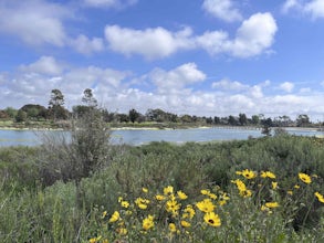
Colorado Lagoon
5.00.95 mi / 30 ft gainThe Colorado Lagoon is a wetland that is being restored. To make this 1 mile walk into a loop, you have to walk along sidewalks near the park. This is a very kid-friendly destination. This trail crosses over the lagoon on a boardwalk. It also accesses a sandy swimming beach with restrooms, picnic...Read more -
Malibu, California
Sandstone Peak
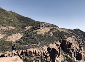
4.83.03 mi / 971 ft gainIf you live in Los Angeles, Sandstone Peak is a must! The hike to the summit can be done on a 2 mile hike up and back on Sandstone Peak Trail, or a 6.5 mile hike up and back on Backbone Trail. The shorter trail is more popular, yet both are equally rewarding. You won't believe the views from the...Read more -
Malibu, California
Balanced Rock via Sandstone Trailhead
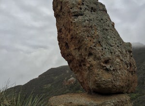
5.04.36 mi / 1125 ft gain...From the PCH, make a left turn on Yerba Buena road (turn right if you're coming South) for about 6 miles until you get to the dirt parking area. If the lot is full, there's extra parking on the side of the road. FYI, Balanced Rock can also be accessed by starting at the Mishe Mokwa trailhead,...Read more -
12869 Yerba Buena Road, California
Mishe Mokwa Trail to Sandstone Peak
5.07.06 mi / 1755 ft gainTake Yerba Buena road to the trailhead. It is less zigzagged and shorter distance from PCH. Parking is easy provided that you start early in the morning. If the lot is full, you can always park on the side of the road. Bathroom is available at Sandstone Peak Trailhead parking lot, just 0.8 miles ...Read more -
Malibu, California
El Matador Beach
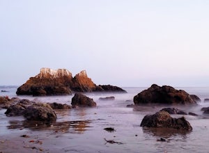
4.6There's something magical about this strip of beach and it never fails to deliver at sunset. Lined with strange and jagged rock formations/caves, there are endless opportunities for finding unique compositions and new perspectives. Although it's become quite the popular spot for photographers and...Read more -
Malibu, California
Grotto Trail
2.64 mi / 492 ft gainWho doesn't enjoy a hike that offers water, scenic views, boulder hopping and a subterranean cave? I know I do! The Grotto Trail begins at Circle X Ranch, which looks a bit like a small cowboy western store, and is approximately 6 miles from the Highway 1 (PCH). The parking is a tad tight, fittin...Read more -
Newbury Park, California
Boney Peak
4.012.04 mi / 3025 ft gainThe hike begins at the parking lot for Rancho Sierra Vista in Newbury Park, CA just outside LA. Pull into the parking lot and walk on the dirt road until you see the trail for Boney Peak. It is easy to find because the peak can be seen from the beginning of the trail. The trail is generally an in...Read more -
Ventura County, California
Sycamore Canyon Falls
3.3 mi / 545 ft gain...When arriving in the Santa Monica Mountains Recreational Area, take the drive and park at Sycamore Canyon parking lot. Parking is free and also offers restrooms and some history about the park. Follow the trailhead South until you come to the Satwiwa Culture Center on your left and a dome-like...Read more

