Phoenix, Arizona
Looking for the best fitness in Phoenix? We've got you covered with the top trails, trips, hiking, backpacking, camping and more around Phoenix. The detailed guides, photos, and reviews are all submitted by the Outbound community.
Top Fitness Spots in and near Phoenix
-
Scottsdale, Arizona
Tom's Thumb
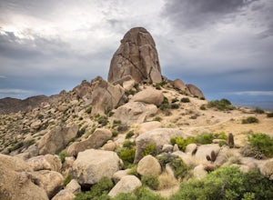
4.33.98 mi / 1236 ft gainThe infamous “thumb” can be seen from most places in the valley – a white burst of rock jutting skyward out of the desert ridgeline. The new Tom’s Thumb Trailhead in 2012 has nice restrooms and offers tons of information about the surrounding rock climbing areas, day hikes and desert knowledg...Read more -
Cave Creek, Arizona
Hike the Go John Trail
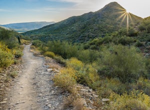
5.05.6 mi / 804 ft gainAs you park at the trailhead, you have the option to take this trail in either direction. I recommend that you travel north, which will immediately provide 0.75 miles of elevation gain. You will then reach a pass with panoramic views of the Tonto National Forest. A bench in this area provides the...Read more -
Waddell, Arizona
Hike Mesquite Canyon Trail
13 mi / 1394 ft gainThis is a great place to begin your hike in the White Tank Mountains. From the Ramada Way area, the trail begins to lead steadily into a small canyon. As you get further up, the trail will begin get more steep. After a short time it leads up to the first saddle and wraps around a ridge and bec...Read more -
Morristown, Arizona
Hike the Wild Burro Trail
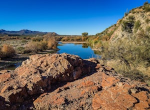
4 mi / 112 ft gainHike along the shoreline of beautiful Lake Pleasant. This 4.0 mile out-and-back trail is worth its weight in beautiful views. The path is well maintained and perfect for beginner hikers who enjoy leisurely hikes while looking for wild burros. The Wild Burro trail starts with a small descent from ...Read more -
Maricopa County, Arizona
Hike the Goldfield Ovens Loop
7.5 mi / 575 ft gainA Tonto Day Pass is required for this hike as you will park your vehicle at the Blue Point Picnic Area. The trail starts North of the restrooms which are located at the backside of the parking lot. The trail takes you through a mesquite filled area alongside large rock faces. Be sure too look for...Read more -
Mesa, Arizona
Horseback Ride in the Sonoran Desert
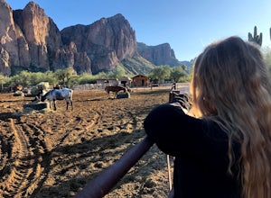
5.0This picturesque location is truly unique; featuring Saguaro Lake, the spectacular Bulldog Cliffs and the Salt River winds through the Ranch property, and you’re able to experience it all on horseback. What I loved most is that the horses were well cared for, the handlers obviously adored the ani...Read more -
Queen Creek, Arizona
Hike the Dynamite and Goldmine Loop
5.04.7 mi / 773 ft gainThis trail is a moderately-rated hike. It is used for a variety of activities including hiking, mountain biking, running, and walking. To access the trail, it is important to note that there is a $7 cash parking fee, so be prepared! The beginning of the trail is the most challenging part as it ...Read more -
Gold Canyon, Arizona
Superstition Peak 5057 via Carney Springs
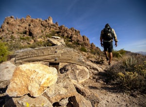
5.07.71 mi / 2831 ft gainThis is the true beast hike of the Superstitions. If you think Flatiron is a toughy, give this a whirl! You will be poked, prodded, slapped, smacked, jolted, tripped and stabbed the entire way, but rewarded with arguably the finest sights the valley of the sun has to offer: the entire Superstitio...Read more -
Tonto Basin, Arizona
Hike to Brown's Peak
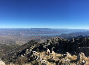
5.06 mi / 1957 ft gainStarting at the trailhead you will begin hiking through oak trees and forest. At numerous times throughout the hike Roosevelt Lake can be seen to the northwest. Approximately 3 miles into your hike you will reach a small campsite in the saddle of the mountain. This is your turnaround point if you...Read more

