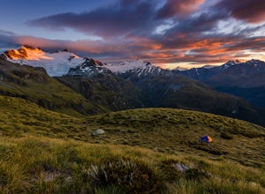
Makarora, New Zealand
Looking for the best hiking in Makarora? We've got you covered with the top trails, trips, hiking, backpacking, camping and more around Makarora. The detailed guides, photos, and reviews are all submitted by the Outbound community.
Top Hiking Spots in and near Makarora
-
Wanaka, New Zealand
Hike or Bike the Glendhu Bay Track
9.3 miThis walk can also be started from the waterfront in Wanaka, which is only a few km from the track start above. From the car park, follow the track along the lake north. It is quite well marked and follows the coastline offering stunning views of the mountains on both sides of the lake. Dependin...Read more -
Treble Cone, New Zealand
Hike to the Summit of Treble Cone
4 mi / 2296.6 ft gainIf you're in Wanaka, you cannot miss this hike. If the ski area is closed for the season you can still hike there but please check in with the Treble Cone Office in Wanaka. Begin at the ski field parking area and climb among snow slops and service roads, alternatively ascend the ridge on the far ...Read more -
Wanaka, New Zealand
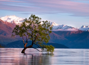
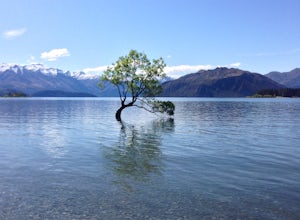
Hike Lake Wanaka and Photograph the Famous Tree
5.013.7 mi / 0 ft gainTo begin this hike park in the lakeside lot on the west edge of town and begin walking counter-clockwise around Lake Wanaka. The first destination you will reach is the famed Wanaka Tree, which is easily recognized by the crowds of people around it taking photos. A few tips for maximizing your op...Read more -
Wanaka, New Zealand
Hike along Wanaka's Waterfall Creek Track
4.03.1 miThe Waterfall Creek Track is a well-formed track without any major undulations that can be enjoyed by foot or bike. It's family- and dog-friendly, and is perhaps the most heavily walked stretch of Wanaka's shoreline.Within the first few hundred meters along the Waterfall Creek track you'll come u...Read more -
Mount Earnslaw, New Zealand
Climb Mount Earnslaw, Mount Aspiring National Park
5.016.8 mi / 8000 ft gainStart at the Rees Valley Trailhead, approximately 30 minutes from Glenorchy. The trail begins as a dirt road that passes through grazing land and small tributary creeks that flow into the Rees. The first 4.4 miles (7 km) of the trail hugs the Rees River and stays in the grassy and often boggy riv...Read more

