Cattle Flat, New Zealand
Looking for the best photography in Cattle Flat? We've got you covered with the top trails, trips, hiking, backpacking, camping and more around Cattle Flat. The detailed guides, photos, and reviews are all submitted by the Outbound community.
Top Photography Spots in and near Cattle Flat
-
Queenstown Lakes District, New Zealand
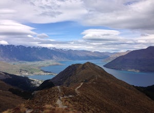
Ben Lomond Track via Old Skyline Road
5.025.99 mi / 3107 ft gainAdventuring up to Ben Lomond's summit is an out-and-back day hike with views that are arguably more rewarding than some of those you get on New Zealand's Great Walks. You can take the Skyline gondola part way up if you want to shorten the climb, but I usually start at the small signposted carpark...Read more -
Mount Aspiring National Park, New Zealand
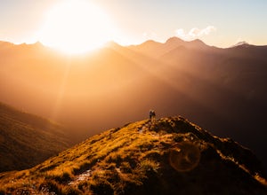
Backpack the Brewster Hut Track
5.011.2 mi / 5656 ft gainTwenty kilometers north of Haast Pass (568m/1864ft) there is a carpark for Fantail Falls, a beautiful waterfall with numerous rock cairns displayed at its base. From here, take a 3-4 hour hike along Brewster Hut Track (more like climb) through beech forest and then alpine tussock to reach Brewste...Read more -
Mount Aspiring National Park, New Zealand
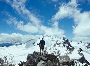
Hike Brewster Track to Mt. Armstrong
5.05.6 mi / 5577.4 ft gainAfter a short walk from the Fantail Falls parking lot, the trail crosses the river to reach the beginning of the track. It's unlikely you'll avoid getting your feet wet.The track heads up through the steep and rooted slopes until you break treeline after several thousand feet of elevation gain. N...Read more -
Greenstone, New Zealand
Hike to Lake Rere
The track begins from the Greenstone carpark. After walking for around 5 minutes, you will chose which direction you would like to complete the loop. For our hike we chose to go left over the swing bridge that crosses the river. After crossing the river you continue through open farm paddocks....Read more -
Mount Aspiring National Park, New Zealand
Valley of the Trolls
1.9 mi / 1312.3 ft gainThe Valley of The Trolls can be accessed from the head of Lake Harris, off the Routeburn track. The trail in the valley is a lot tougher going than the well maintained Routeburn track. The valley floor will quickly become a swampy bog after a rain. Getting to the trail is easily done about 300 ...Read more -
Mount Aspiring National Park, New Zealand
Backpack MacPherson Creek to Lake Barra
5.07.5 mi / 5249.3 ft gainIf you’re ready for an advanced challenge to suit any adventurous spirit and have the skills to navigate complicated terrain then the narrow MacPherson Creek drainage on the fringes of Mount Aspiring National Park may grab your interest. Diving in from the MacPherson Creek bridge on the Haast Roa...Read more -
Fiordland National Park, New Zealand
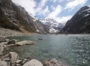
Hike to Lake Marian
4.53 mi / 1312.3 ft gainThe track starts soon after the turnoff onto Hollyford Rd off the Milford Highway. The track begins with a bridge crossing over a river and then soon reached Marian Falls. From the falls the trail climbs steeply through forest until the lake. The lake is a beautiful place to spend several hour...Read more

