Arthur's Pass, New Zealand
Looking for the best photography in Arthur's Pass? We've got you covered with the top trails, trips, hiking, backpacking, camping and more around Arthur's Pass. The detailed guides, photos, and reviews are all submitted by the Outbound community.
Top Photography Spots in and near Arthur's Pass
-
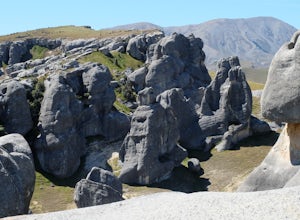
Castle Hill, New Zealand
Hike and Climb at Castle Hill
3.52 miFollow the footpath from the car park. You will quickly arrive at Castle Hill, famous for it's incredible array of giant limestone formations. There is no official path so you are free to wander the maze of rocks. Look for arches and even signs of ancient Maori inhabitants. Its fun to climb among...Read more -
Springfield, New Zealand
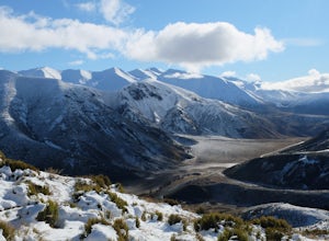
Hike the Trig M Trail
4.02.1 mi / 1509.2 ft gainThe hiking trail first ascends a hillside to about 1,500 meters. It then follows the crest of a ridge in a southwest direction until you reach the "trig", a marker used in geographical survey. The maintained track ends here but hikers wanting more can continue traveling cross country to Rabbit Hi...Read more -
Springfield, New Zealand
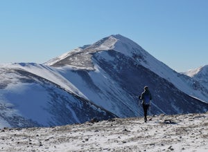
Hike Foggy Peak and Castle Hill Peak
5.08.1 mi / 3280.8 ft gainPark in the gravel roadside parking area at the highpoint of Porters Pass. Follow the faint use path up the lower scree slopes of Foggy Peak northward towards the summit. Upon reaching the summit of Foggy Peak the alpine traverse to Castle Hill Peak becomes obvious. The hike between the two peaks...Read more -
Springfield, New Zealand
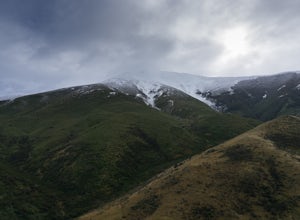
Hike to Foggy Peak Summit
5.02 mi / 3280.8 ft gainThe Foggy Peak trail is an unmarked path leading from the carpark at the top of Porters Pass to the summit of Foggy Peak. The clouds can get very low here so be sure to bring a GPS or be knowledgeable in the mountains. From the carpark just duck under the fence and head on up to the top. The way ...Read more -
Kokatahi, New Zealand
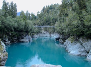
Explore Hokitika Gorge
4.0From the carpark follow the signs to the gorge. The trail goes through the forest for approximately 10 minutes downhill before reaching the swing bridge which spans the gorge. After the bridge you can continue walking down to another viewing platform and opportunity to go further down, closer t...Read more -
Ashburton Lakes, New Zealand
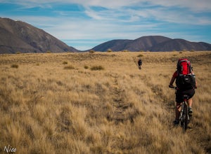
Mountain Bike to Boundary Creek Hut
The track to Boundary Creek Hut follows an old 4WD track for about 9 km () with minimal height gain on the way in. Not long into the ride, you will pass another 4WD track with marker poles – this heads to the Garden of Eden (not the glacier one), so keep on the main track.About 2 km (1.2 miles) f...Read more

