
Rocky Mountain National Park 'Grand Loop'
From July 9-14, 2017, a friend and I backpacked a major loop circumnavigating Rocky Mountain National Park. The trek was inspired by Backpacker Magazine's 'Grand Loop.'
Day 1/6
Our first day started off with a bang, a 4.4 mile 2,800 ft climb from Bear Lake to Flattop Mountain. From the summit, the Continental Divide Trail was followed to our first campsite, Lower Granite Falls.
Day 2/6
The second day was a day to rest our legs. We followed the Tomahutu Creek to our next campsite, Green Mountain, and arrived early. The remainder of the day consisted of observing wildlife and resting.
Day 3/6
From Green Mountain, an easy descent into the city of Grand Lake was made. Here we enjoyed a hearty nontraditional backcountry meal. The remainder of the day consisted of taking the East Inlet Trail to our third campsite, Solitaire.
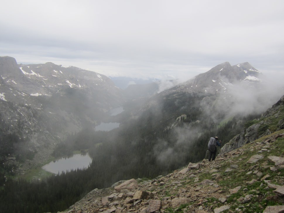
Day 4/6
This day was a real challenge. An unmaintained trail was followed from Lake Verna to Fifth Lake along the East Inlet drainage. Once at Fifth Lake, steep ledges were traversed over to Boulder Grand Pass (12,061 ft). The descent from Boulder Grand Pass met up with Thunder Lake where a trail was found to follow to our fourth campsite, Tahosa. It had rained for the better part of the day causing us to lay out all of our gear to dry at camp.
Day 5/6
It was a steady descent down the trail from Tahosa to Wild Basin and the Sandbeach Lake trailhead. The North St. Vrain Creek was followed all the way down. From then, it was a 4.4 mile steep trail to Sandbeach Lake, our final campsite. From the lake, Mount Meeker, Pagoda Mountain, and Longs Peak were visible.
Day 6/6
The final day marked for a good 14-15 hours. This called for a 2am wake up time from our campsite at Sandbeach Lake. The first section of the day involved bushwhacking through dense forrest to Hunters Creek. Once here, the creek was followed to the base of Keplinger's Couloir, our route up to the summit of Longs Peak. The Keplinger's Couloir route involved boulder scrambling and a near 2,000 ft climb in just under a mile. After a few hand and foot moves and a snowy ledge, the summit of Longs Peak was in reach. Here marked the highest point in RMNP (14,259 ft). The popular Keyhole route was then taken on the way down from the summit. After traversing area ledges, passage through the keyhole was made and the East Longs Peak Trail was followed to the parking lot at Longs Peak Ranger Station.
We want to acknowledge and thank the past, present, and future generations of all Native Nations and Indigenous Peoples whose ancestral lands we travel, explore, and play on. Always practice Leave No Trace ethics on your adventures and follow local regulations. Please explore responsibly!
Do you love the outdoors?
Yep, us too. That's why we send you the best local adventures, stories, and expert advice, right to your inbox.


