Mckee Bridge Community Kitchen
Book this listing through our partner Recreation Gov
About Mckee Bridge Community Kitchen
Overview
Situated along the rocky banks of the Applegate River, the McKee Bridge Community Kitchen is a fantastic day-use picnic shelter and registered National Historic Site. The shelter is constructed with large pine timber and features Civilian Conservation Corps (CCC) masonry, including a beautiful stone fireplace. Groups often reserve McKee Community Kitchen when holding a wedding ceremony on the neighboring historic covered bridge. Located in southwest Oregon in the Rogue River-Siskiyou National Forest at an elevation of 1,600 feet, this day-use area boasts nearby volcanic peaks, scenic rivers and fantastic old-growth forests.Recreation
The area surrounding this day-use area offers outdoor enthusiasts the opportunity to hike, fish, swim, ski and enjoy a multitude of outdoor activities throughout the year.Nearby Applegate Lake is a recreation lake located north of the spectacular Red Buttes Wilderness Area. The lake is popular for swimming, cycling, boating, canoeing, fishing and hiking the various trails.
Mule Mountain Trail offers visitors a special opportunity to access the hillsides above the Applegate Valley and witness the seasonal changes in wildlife activity. It is a long distance hike winding up and around the arid ridges of the Oregon Siskiyou Range. In the spring time, dwarf star tulips, lilies, shooting stars, larkspurs and buttercups puncture the needle and leaf mat and adorn the grass floor.
Facilities
The McKee Bridge Community Kitchen is a covered group site. Reservation is for Community Kitchen shelter. The nearby picnic area is separate and not included in the reservation.Natural Features
The unique character of the Rogue River-Siskiyou National Forest is composed of two distinct geological provinces; the Cascade Range and the Siskiyou Mountains.The Cascade Range is dominated by snow-capped volcanic peaks, such as 9,495 foot Mt. McLoughlin, located within the Sky Lakes Wilderness.
The Siskiyou area embodies the most complex and treasured plant communities in the Pacific Northwest. World-class wild rivers, biological diversity, remarkable fisheries resources and complex watersheds define the Siskiyou.
Diverse landscapes provide habitat for a wide-range of wildlife, from spotted owls and bull elk to salamanders and sandhill cranes.
Nearby Attractions
Squaw Peak Lookout: The United States Congress designated the Red Buttes Wilderness in 1984 and it now includes a total of 19,940 acres. Management of the Red Buttes Wilderness, located on the California/Oregon border, is shared by the Klamath National Forest and the Rogue River - Siskiyou National Forest. The majority of the Wilderness lies within the boundaries of the Rogue River-Siskiyou National Forest. Several lakes are accessible in the forest. Squaw Peak looks south to Squaw Lakes, a semi-primitive developed recreation area that accepts camping reservations from May through September. Applegate lake is a large reservoir with boat ramps, campgrounds, viewpoints and a developed recreation area named Hart tish. Both Squaw Lakes and Applegate lake are open for fishing year-round. Visitors enjoy Crater Lake National Park and learning about its natural and cultural history. At 1,943 feet deep, Crater Lake is the deepest lake in the United States and one of the ten deepest lakes in the world. Crater Lake is a 2 hour drive from Beaver Sulphur Campground.Mckee Bridge Community Kitchen Reviews
Have you stayed here? Be the first to leave a review!
Top Spots in or near Jacksonville
Summit Mt. Ashland
Ashland, Oregon
5.0
5 mi
/ 1550 ft gain
Situated in Southern Oregon right near the California border lies the Siskiyou Mountain Range's tallest peak, Mount Ashland. Mount Ashland is a very popular area for many recreational activities, one of the most popular activities is skiing. The ski area was opened up in 1963 and has changed hands numerous times.
Although not very known, a beautiful and secluded hike lies on the backside of th...
Hike and Climb Pilot Rock
Ashland, Oregon
8 mi
/ 1000 ft gain
Pilot Rock is one of the most prominent features in the Cascade-Siskiyou National Monument and is visible from over 40 miles away in the Shasta Valley of northern California and the Rogue Valley of Southern Oregon.Similar to Devil’s Tower in Wyoming, though much smaller in stature, Pilot Rock is a columnar basalt volcanic core located 1.6 miles north of the CA border. It provides impressive scr...
Hike to Hobart Bluff
Ashland, Oregon
2.5 mi
/ 200 ft gain
Hobart Bluff is part of the Western Cascades, a range of weathered volcanic mountains that are much older than the High Cascades that most people think of today, the range of Shasta, Rainier, and Hood. These mountains are shorter as a result of the work of time and usually have summits wrapped in forest, but not Hobart Bluff. Here, the igneous rock outcrop stands above the manzanita, void of tr...
Backpack to Raspberry Lake
Del Norte County, California
1.0
12 mi
/ 1800 ft gain
If you wish to experience the beauty of the Siskiyou Wilderness and avoid the crowds associated with The Devil’s Punchbowl, then consider a visit to Raspberry Lake. Beginning at the Young’s Valley Trailhead (Coordinates: 41.889919, -123.654755), this hike is a great option for those seeking wide mountain views and plenty of fresh air. Starting at 5,400 feet, the trail is a prime example of sub...
Sky High Lakes in the Marble Mountains
Fort Jones, California
5.0
11.88 mi
/ 2070 ft gain
The Marble Mountains are part of the Klamaths, a biologically and geologically diverse range of peaks and ridges often overshadowed by its western neighbors in the Cascades. The Marble Rim is the signature feature of this subrange, a white wall of rock that glimmers in the sun. The nearby Sky High Lakes basin adds to the scenery, making this a great overnight trip, and perhaps an even better mu...
Devil's Punchbowl, Six Rivers National Forest
Crescent City, California
4.0
8.33 mi
/ 1660 ft gain
Located in extreme Northern California, the Siskiyou Mountains are the largest sub-range of the Klamath Mountain range and among the most rugged. The Siskiyou Wilderness, designated in 1984, encompasses three national forests: Siskiyou, Klamath and Six Rivers for a total of 182,802 acres. Because it is geologically young, the area saw minimal glaciation during recent ice ages and as a result, t...
Camping and Lodging in Jacksonville
Applegate, Oregon
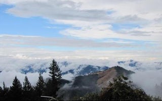
Squaw Peak Lookout
Overview
Squaw Peak Lookout was constructed in 1942. It is an L-4 style cabin, and is on the National Historic Site Registry. The lookou...
Jacksonville, Oregon
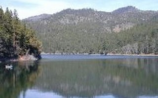
Squaw Lakes
Overview
Squaw Lakes Campground is nestled in the deep shade of a mixed-conifer forest on the banks of Squaw and Little Squaw Lakes. The ...
Jacksonville, Oregon
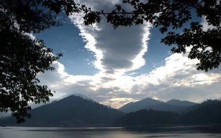
Hart Tish Park At Applegate Lake
Overview
Located in southwest Oregon in the Rogue River-Siskiyou National Forest, Hart-Tish Park is surrounded by a variety of landscapes...
Cave Junction, Oregon
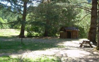
Chinquapin Group Campground
Overview
The Chinquapin Group Campground is located at the former site of the Camp Oregon Caves Civilian Conservation Corps (CCC) camp. D...
Central Point, Oregon
Medford / Gold Hill KOA Journey
In the hills of southern Oregon lies this family-oriented and peaceful campground, situated in a rural area less than a mile from the Rog...
Siskiyou County, California
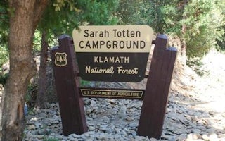
Sarah Totten Campground
Overview
Sarah Totten Campground is located next to the Klamath Wild and Scenic River, about 33 miles east of the town of Happy Camp. The...
Unfortunately, we don't have up-to date pricing data for this listing, but you can check pricing through Recreation Gov.
Book NowAdd your business today to reach The Outbound's audience of adventurous travelers.
Community
© 2024 The Outbound Collective - Terms of Use - Privacy Policy


