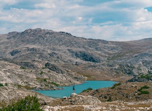
Shell, Wyoming
Top Spots in and near Shell
-
Shell, Wyoming
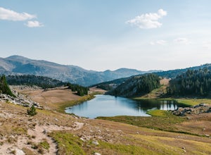
Drive the Bighorn Scenic Byway
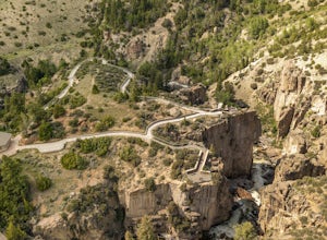
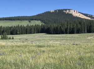
Loaded with viewpoints and hiking trails along the way, the Bighorn Scenic Byway is a 57-mile scenic drive that carves its way through the mountains of Bighorn National Forest. The byway runs between Shell and Dayton, Wyoming along US Highway 14. This route is open between May and September. On...Read more -
Shell, Wyoming
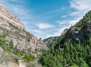
Explore Shell Canyon
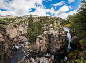
4.0Shell Creek starts high up in the Bighorn Mountains, and flows through the Bighorn National Forest until it reaches the Bighorn River, near the small western town of Greybull. Shell Canyon has been carved out over millions of years, creating deep limestone and granite cliffs. Make sure to stop at...Read more -
Greybull, Wyoming
Explore the Red Gulch Dinosaur Tracksite
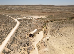
Located between Greybull and Shell, sits a very unique & family-friendly pit stop. It’s a place where visitors can literally walk in the footprints of dinosaurs! Discovered in 1997, the Red Gulch Dinosaur Tracksite is Wyoming's largest and most unique tracksite. It is one of the only sites t...Read more -
Greybull, Wyoming
Ski Moonlight Peak
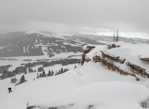
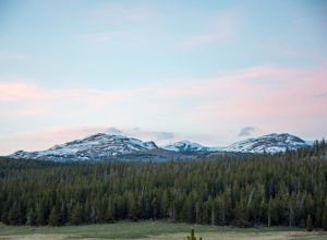
2 mi / 900 ft gainThe Bighorns have a whole lot to offer in any season. Most people probably do not think of the Bighorns as a ski destination, partly because there are only 2 ski areas in the whole range, and one, Antelope Butte was closed from 2004 until it reopened in 2018. To the west across the highway is a z...Read more -
Buffalo, Wyoming
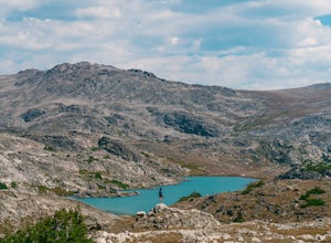
Backpack to Robin Lake
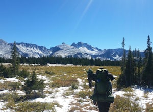
5.012 mi / 1500 ft gainStarting at Coffeen Park, head south on the Solitude Trail. This trail will wind through the woods for several miles, passing Lake Geneva, and then Solitude Lake. After a glimpse of Solitude (it's a bit off the trail to the west), you'll start the climb up to Geneva Pass. After Geneva Lake, the e...Read more -
Buffalo, Wyoming
Hike to Rainbow Lake in the Cloud Peak Wilderness
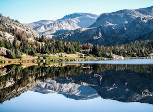
Best accessed from the Geneva Pass trail, Rainbow Lake is a gorgeous hidden gem. It's not on the main Solitude Trail or the Lake Loop, but it's pretty straightforward to access. The lake is most easily reached via the Cliff Lake Trail. If you're approaching from Geneva Pass, take the Cliff Lake T...Read more -
Parkman, Wyoming
Hike Tongue River Canyon
8.8 mi / 830 ft gainStarting at the Tongue Canyon Campground, the trail meanders next to the river as the canyon walls get deeper and deeper. There are some pretty incredible limestone walls here, and the views along the canyon are excellent. Eventually you'll start to climb a bit more, away from the river and up in...Read more -
Buffalo, Wyoming
Summit Blacktooth Mountain
24 mi / 4000 ft gainTo get to the Little Goose Trailhead make sure you have a vehicle capable of traveling over very rough terrain and big rocks and cross 3 creeks, one of which is about 50 feet wide and 2 feet deep. Four-wheel drive would be strongly recommended. From the Little Goose Trailhead you will need to hi...Read more -
Buffalo, Wyoming
Backpack to Highland Lake
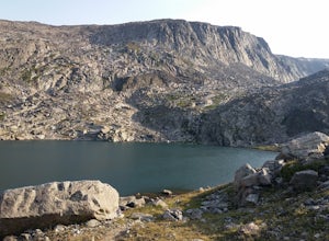
5.016 mi / 1500 ft gainTo get to Little Goose Trailhead take Red Grade Rd. west out of the little town on Bighorn for about 10 miles, then keep your eye out for FS Rd. 314 on the left, this you will follow until the road will eventually dead-end at the trailhead. There are a couple creek crossings and the road is prett...Read more -
Big Horn County, Wyoming
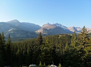
Summit Cloud Peak
4.823 mi / 4000 ft gainAlthough there is more than one way to access the peak, the most commonly used route begins at the West Tensleep Trailhead & Campground (44.258019, -107.215344) (Elevation: 9101 ft.) The trailhead can be reached from Buffalo, WY. Heading Southwest on Cloud Peak Scenic Byway (HWY 16) turn lef...Read more -
Big Horn County, Wyoming
Hike to Bomber Mountain
5.022.8 mi / 3000 ft gainStarting at West Tensleep Lake Trailhead is the best place to begin the trek up to Bomber Mountain. It is a 6.5 mile hike up to Mistymoon Lake following trail #63. It is about 1,100 foot elevation gain in the 6.5 miles, and the hike is very nice going in and out of the trees so you can get some s...Read more -
Ten Sleep, Wyoming
Lost Twin Lakes Trail
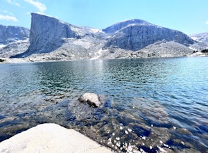
5.013.44 mi / 2992 ft gainLost Twin Lakes Trail is an out-and-back trail that takes you by a lake located near Buffalo, Wyoming.Read more -
Ranchester, Wyoming
Big Horn Scenic Byway: Dayton to Shell
5.057.26 mi / 6444 ft gainBig Horn Scenic Byway: Dayton to Shell is a point-to-point trail that takes you past scenic surroundings located near Dayton, Wyoming.Read more -
Ten Sleep, Wyoming
Camp at Sitting Bull Campground
Sitting Bull Campground is located in the Bighorn National Forest, on the west side of scenic Cloud Peak Skyway near the Cloud Peak Wilderness (51 miles east of Worland, WY). The campground is adjacent to a beautiful mountain meadow that provides views of the surrounding mountains as well as oppo...Read more -
Lovell, Wyoming
Explore Devil's Overlook in Bighorn Canyon
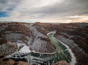
4.5Bighorn Canyon is a quiet and beautiful National Recreation Area covering parts of Montana and Wyoming. No trip here would be complete without a visit to the iconic Devil's Overlook. It's best to enter through the southern entrance - to get to there, head east on Rd 14a from Lowell, WY. Turn left...Read more -
Ten Sleep, Wyoming
Rock Climbing Ten Sleep
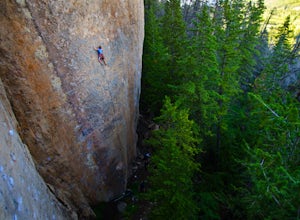
5.0Ten Sleep Canyon is one of the best places to climb in the US. Located in North Central Wyoming, it is home to almost nobody other than the wild life. The closest town is Ten Sleep, population of about 210 people. The town has everything you might need: a coffee shop with Wifi and a great Bar w...Read more
Top Activities
Let Adventure be your Destination in Wyoming
Wyoming’s wide-open spaces make it easy to get off the grid and on a trail, through a park, into a forest, up a mountain or down a river. During your journey through Wyoming’s Black to Yellow Region, discover geologic marvels, dense evergreen forests and sprawling prairielands.
Learn MoreCamping and Lodging in Shell
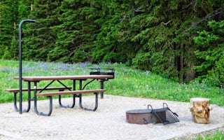
Greybull, Wyoming
Shell Creek
Overview
Shell Creek Campground is located just off the Bighorn Scenic Byway (U.S. Highway 14) at an elevation of 7,500 feet. The Bighorn...
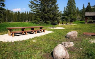
Greybull, Wyoming
Ranger Creek Recreation Area
Overview
Ranger Creek Group Campground is located just off the Bighorn Scenic Byway (U.S. Highway 14) at an elevation of 7,500 feet. The ...
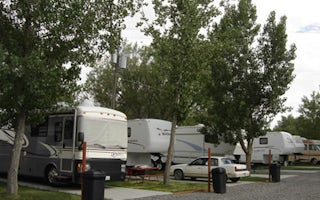
Greybull, Wyoming
Greybull KOA Holiday
Adventure and activities abound in Greybull, where you are sure to find something for everyone in the family. Located in north central Wy...
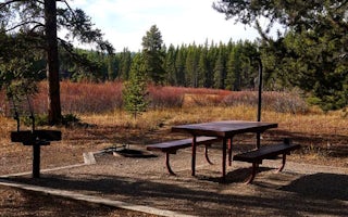
Dayton, Wyoming
Prune Creek
Overview
Prune Creek Campground is located along the Bighorn Scenic Byway (U.S. Highway 14) near the Burgess Junction at an elevation of ...
Dayton, Wyoming
Owen Creek
Overview
Owen Creek Campground is located along the Bighorn Scenic Byway (U.S. Highway 14) near the Burgess Overlook and Woodrock areas a...
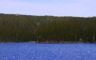
Dayton, Wyoming
Sibley Lake
Overview
Sibley Lake Campground is located at Sibley Lake along the Bighorn Scenic Byway (U.S. Highway 14) near the Burgess Junction at a...


