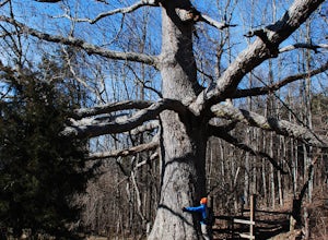
Ripplemead, Virginia
Top Spots in and near Ripplemead
-
Pearisburg, Virginia
Hike Angels Rest and the Wilburn Valley Overlook
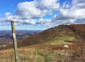
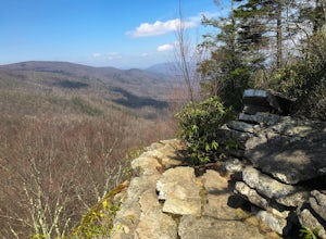
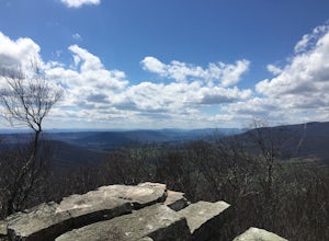
4.6For a tough hike with rewarding views, check out Angels Rest and the Wilburn Valley Overlook. Easily accessible from US-460 near Pearisburg, this hike along the Appalachian Trail gains a total of 1600’ elevation is a 4.6 mile round trip hike. Angels Rest is a large boulder that overlooks the New...Read more -
Narrows, Virginia
Rice Fields via Appalachian Trail
5.05.24 mi / 1302 ft gainThis hike begins on the Appalachian Trail just north of Pearisburg, Virginia. To get to the trail head, take Route 460 and turn on to Clendennin Road(Route 641). Take Clendennin road 1.5 miles and then turn left on to Pocahontas road. In about 300ft you will pass a cattle grate and an old barbed ...Read more -
Ripplemead, Virginia
Cascade Falls
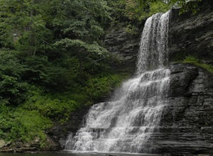
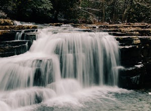
4.93.81 mi / 732 ft gainThe 66' Cascade Falls located in Giles Count is arguably one of the most beautiful waterfalls in Virginia. This classic hike is 4.0 miles and gains 800' in elevation. Located in Pembroke, Virginia, access the trail head by taking Cascade Drive (VA-623) off of US-460 and drive 3.3 miles to the p...Read more -
Ripplemead, Virginia
Hike Barney's Wall
4.68.4 mi / 1600 ft gainThis hike begins in the parking lot for Cascade Falls. Keep left at the first and second intersections to stay on the Upper Trail. At the third intersection, stay straight (don't turn right) to stay on the Conservancy Trail.Follow the Conservancy Trail for 0.4 miles, and continue on it when it br...Read more -
Narrows, Virginia
Hike Sentinel Point and Mill Creek Falls
5.07.8 mi / 1800 ft gainThere are many trails in the area so here is a map to start out because it can get confusing:http://gilescounty.org/images2/Map-Town%20Farm-Hiking%20Trails%20%282010%29.pdf.From the parking area, keep to the left side of the stream and head up the gravel road. You'll soon come to the Mill Creek ...Read more -
Newport, Virginia
Hike through the New River Cave
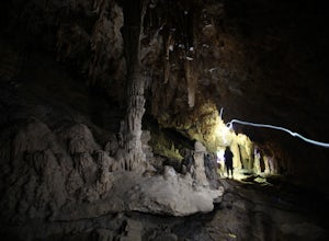
4.72 mi / 332 ft gainAfter reaching the parking area, cross the road and continue up the trail for about 0.3 miles. At the kiosk, make sure to register in order to indicate that you are going into the cave. After passing the kiosk and some rocky portions of the trail, you will approach the cave entrance. The cave goe...Read more -
Blacksburg, Virginia
Float New River
5.0Starting at the "falls" below the New River Junction you can enjoy a three day float trip down to Bluff City near Pearisburg. [Tangent Outfitters in Pembroke can rent you kayaks and shuttle you to the start point and pick you up at the end point if you don't have 2 vehicles to leave] Trip can be ...Read more -
Pembroke, Virginia
Bald Knob Trail
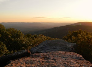
4.80.93 mi / 387 ft gainUnobstructed views with little hiking effort make Bald Knob one of the best locations to see the sunset in southwestern Virginia. Easy to access from US-460 in Giles County, take Mountain Lake Road (VA-700) for 7 miles and park in the gravel lot on the left by the intersection of VA-613 and Moun...Read more -
Newport, Virginia
Hike the War Spur Loop
3.52.7 mi / 300 ft gainThis is an awesome hike to do with limited time. It only took about 2 hours total with time to chill at the overlook. There's a map at the beginning of the trailhead which also shows how to connect over to the Appalachian Trail via the War Spur Connector Trail if you have more time in your day.F...Read more -
Pembroke, Virginia
Hike to Wind Rock
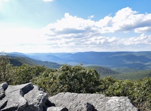
4.70.5 mi / 400 ft gainAt the parking lot cross the gravel road to the trail head that starts at a map posted on the edge of the road. Hike a quick quarter-mile where you'll turn left to a large rocky outcrop with views of the blueridge. You'll pass a campsite with fire ring before the rocky outcrop and overlook. I've ...Read more -
Newport, Virginia
Fish Sinking Creek at Clover Hollow Queens Truss Bridge
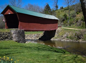
5.0Park alongside of the road at the bridge where 2-3 cars can fit. From here you can fish in Sinking Creek with a great view of this historic landmark. The majority of fish are native brook's and can be caught on a smaller 4-5 wt rod using dry flies.The covered bridge was built in 1916 and spans 70...Read more -
Newport, Virginia
Photograph Sinking Creek Falls
5.0Park at the Clover Hollow Covered Bridge, and walk or bike 1/3 mile along Clover Hollow Rd in the direction of Blue Grass Trail Rd or to the pin dropped in the location below.When you can see the waterfall, carefully walk down the bank where you'll have perfect angles of the waterfall and surrou...Read more -
Blacksburg, Virginia
Take a Stroll around Pandapas Pond
4.51 miGreat for walking or jogging. There are nice views of the pond and there are also other little areas like one dedicated to horticulture. Fishing is also possible (with a license). Parking is very easy here!Read more -
Craig County, Virginia
Hike to Kelly's Knob via the Appalachian Trail
4.34 mi / 500 ft gainThis is a great day hike for families or groups looking to get out for a short hike on the Appalachian Trail in Jefferson National Forest.From 460W Take Blue Grass Trail Rd then a left onto Clover Hollow Rd/State Route 601. Continue on this for 6.7 miles until you reaches an intersection with the...Read more -
Pearisburg, Virginia
Photograph Dismal Falls
4.50.1 mi / 0 ft gainExplorers in Southwest Virginia run into a common problem: local hikes and waterfalls are often saturated with college students out enjoying a warm day. While it's wonderful to have so many people appreciating the beauty of the Jefferson National Forest, it can be difficult to find a remote, quie...Read more -
Newport, Virginia
Hike to the Keffer Oak on the Appalachian Trail
4.32.6 mi / 600 ft gainYou can park your car at the small gravel lot where VA-42 and Rt. 629 intersect. Starting from the Appalachian Trail crossing at VA-42, head north on the AT, which winds through some grass meadows. After about 0.8 miles into the hike you will cross Rt. 630 (Northside Road) on a bridge over Sinki...Read more
Top Activities
Camping and Lodging in Ripplemead
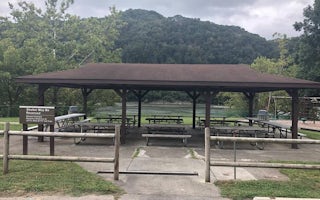
Hinton, West Virginia
Bluestone Lake Picnic Shelter
Overview
Bluestone Lake Picnic Shelter is a day-use area near the shores of Bluestone Lake in southern West Virginia. The 2,040 acres of ...
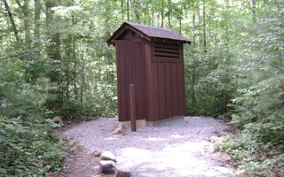
Paint Bank, Virginia
Steel Bridge Campground
Overview
Steel Bridge Group Campground provides old-fashioned, rustic group camping for those that require few amenities. There are thre...

Wytheville, Virginia
Stony Fork Cabin
Overview
Stony Fork Cabin is a cozy one-bedroom hideaway with most of the comforts of home. Visitors can hike, mountain bike, explore the...

Wytheville, Virginia
Wytheville KOA Holiday
Picture-perfect scenery awaits you at this KOA, located between the Allegheny and Blue Ridge mountains (just 1 mile off the highway). The...
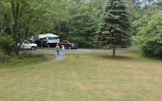
Wytheville, Virginia
Stony Fork Campground
Overview
Stony Fork, tucked in a dense forest setting, is located at the foot of Big Walker Mountain beside the Big Walker Mountain Sceni...

Floyd, Virginia
Rocky Knob Campground
Overview
Located on the famous Blue Ridge Parkway in the hills of rural Virginia, Rocky Knob Campground is nestled amid rolling meadowlan...

