Greensboro, Vermont
Top Spots in and near Greensboro
-
Wolcott, Vermont
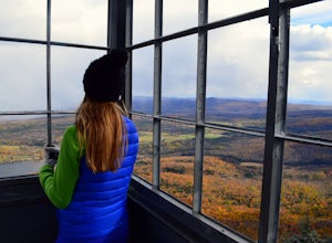
Hike to Elmore Mountain Fire Tower
4.05.6 mi / 1485 ft gainIf hiking in off season when the park is closed, begin from the lower parking lot or the "day use area". If hiking while the park is open you can drive to the upper parking lot (subtract about 1.4 miles from total distance)Beginning from the lower parking lot make you way through the gate and int...Read more -
Groton, Vermont
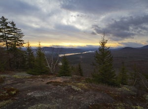
Hike to Owl's Head Trail Overlook
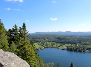
3.03 mi / 200 ft gainStarting at 1746 ft of elevation, this easy 3 mile hike (RT) pays off with a dramatic view of Lake Groton, Kettle Pond and the Green Mountains of Vermont. The trail head begins in New Discovery Park, along the dirt road to Osmore Pond. There is room to pull off the dirt road and park near the t...Read more -
6385 Vermont 5A, Vermont
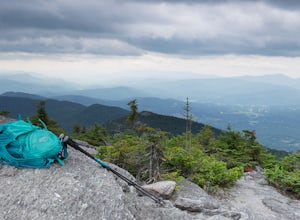
Hike to Mount Pisgah
4.04.1 mi / 1597 ft gainThe hike to Mount Pigsah is 4.1 miles out and back, just outside of Westmore, Vermont. The trail is most commonly used from March through October, but some people traffic this trail in the winter with crampons and sturdy hiking boots. This is an incredibly dog friendly trail. Be aware that there...Read more -
Waterbury Center, Vermont
Hike Mt. Hunger
5.04.2 mi / 2263 ft gainMt Hunger stands at 3540 ft and face Vermont's tallest mountain, Mt Mansfield. At 45 min drive from Burlington, this is a challenging out and back hike. The views it offers and the waterfalls you will find along the path, makes it a good alternative to the overcrowded trails of Mt Mansfield. Th...Read more -
Stowe, Vermont
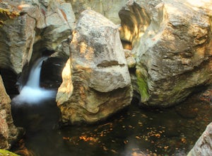
Hike to Bingham Falls
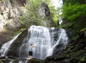
4.00.5 miHiking to Bingham Falls is rewarding for many reasons; people not only come to see the falls, but also to swim in the refreshing, icy cold swimming holes as well. The main falls are tucked away along the walls of a deep, rocky gorge that has been formed naturally over time. At the base of these ...Read more -
Stowe, Vermont
Mt. Mansfield via the Long Trail
5.05.27 mi / 2743 ft gainThere are several options to reach the summit of Mount Mansfield. The Toll Road (which, appropriately, has a toll to use it), the Laura Cowles trail, the Sunset Ridge trail, Haselton Trail, the Hellbrook Trail… The most popular trail from the east side of the mountain, however, is the section o...Read more -
Cambridge, Vermont
Sterling Pond Trail
5.02.28 mi / 876 ft gainSterling Pond trail begins across the street from a parking area on Route 108, about 3 miles south of Smugglers' Notch Resort. Keep in mind that the road is closed to vehicles once the snow falls, so if you want to hike this area in the winter, you'll have to park about 40 minutes away and hike ...Read more -
Cambridge, Vermont
Spruce Peak and Sterling Pond Loop
5.03.38 mi / 1204 ft gainIf you're in New England during September or early October, a drive up north into Vermont is an absolute must for prime fall foliage. I-89 brings you through the state from I-93, and is in itself a beautifully scenic drive. Stowe, Vermont is a small ski resort town located just outside of Mt. Man...Read more -
Duxbury, Vermont
Camel's Hump Summit via Monroe Trail
4.86.22 mi / 2572 ft gainYou'll begin your Monroe Trail hike at approximately 1500', parking in one of three designated gravel lots along Camel's Hump Road in Duxbury. This trail is 6.8 miles round trip, and gains approximately 2583' in elevation. It is located on the east side of the mountain. Much of your hike will ...Read more -
Sugar Hill, New Hampshire
Photograph Lupines in Sugar Hill
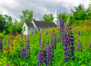
Every year, more or less around the second week of June, the village of Sugar Hill boasts a magnificent show of lupines. There are several concentrations of lupines in fields along the road, but the highlight of a visit to Sugar Hill is the small hillside near St. Matthew's Church. The vistas tow...Read more -
Jericho, Vermont
Americana and Mobbs Hill Loop
4.02.83 mi / 515 ft gainAmericana and Mobbs Hill Loop is a loop trail that is moderately difficult located near Jericho, Vermont.Read more -
Huntington, Vermont
Camel's Hump Summit via the Burrows Trail
4.04.4 mi / 2228 ft gainThis adventure takes you up the Burrows Trail from the Huntington side of Camel's Hump. There are multiple trails to the summit, but this trail is the shortest. It is 2.4 miles to the summit with 2300' elevation gain. The trailhead is accessed from the aptly named Camel's Hump Road out of Huntin...Read more -
Coaticook, Quebec
Mount Pinacle
1.5 miWe came from Parc de la Gorge on Ch de Baldwin-Barnston road, which leads you to the Parc Harold F Baldwin area. Turn left onto Ch May and park your car in the parking area that is next to a small shop/cafe. There are signs at this point. Walk up the hill a bit until you reach the blue Mt. Pinac...Read more -
Franconia, New Hampshire
Hike Artists Bluff
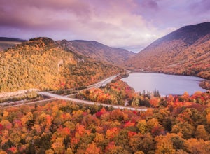
4.31.5 miStarting from the Bald Mountain trailhead, the Artists Bluff trail takes you up a short but steep 1.5 mile path to a beautiful rocky overlook of Franconia Notch State Park. This is the perfect hike to find incredible views of the park and some amazing foliage in autumn. We parked across the stree...Read more -
Jefferson, New Hampshire
Hiking at Pondicherry Wildlife Refuge
4.5As hiking in the White Mountain area goes, this is a pretty easy one. This is a family friendly hike along a rail trail and well maintained forest trails. The main attraction here isn't the difficultly. The main attraction here is the spectacular views and the abundant wildlife.This trail begi...Read more -
Franconia, New Hampshire
Hike to the Summit of Cannon Mountain via Kinsman Ridge trail
5.04 mi / 3000 ft gainDriving north on I-93 in New Hampshire, Cannon Mountain can be seen on the left just a few miles after exit 32. It is a massive cliff that towers over the highway, thousands-of-feet tall. Parking for the trail head is left off of exit 34B. If you look left as you're driving into the paved parking...Read more
Top Activities
Camping and Lodging in Greensboro
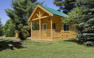
Lisbon, New Hampshire
Littleton / Franconia Notch KOA Holiday
With tree-shaded and grassy sites, this comfortable campground is a great base for exploring New Hampshire's White Mountains and Vermont'...
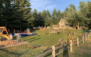
Carroll, New Hampshire
Twin Mountain / Mt. Washington KOA Holiday
Come enjoy Twin Mountain/Mt. Washington KOA, an award-winning campground in the heart of New Hampshire's scenic White Mountains. Explore ...
, New Hampshire
Sugarloaf 1 Campground
Overview
Sugarloaf 1 is a quiet, remote getaway in the northwoods of New Hampshire. Located near the western base of Mount Washington and...
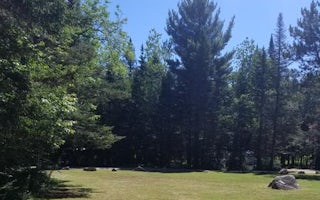
Jefferson, New Hampshire
Sugarloaf 2 Campground
Overview
Sugarloaf 2 is a scenic, remote campground in the northwoods of New Hampshire. Located near the western base of Mount Washington...
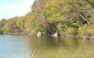
Woodstock, New Hampshire
Russell Pond Campground
Overview
Off the beaten path, Russell Pond Campground is nestled into the hillside overlooking Russell Pond, a popular boating and fishin...
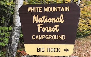
Lincoln, New Hampshire
Big Rock
Overview
Big Rock Campground has 28 individual wooded sites, each with a picnic table, tent pad and turnout for parking. Eight sites shar...

