Juab County, Utah
Top Spots in and near Juab County
-
Nephi, Utah
Burraston Ponds
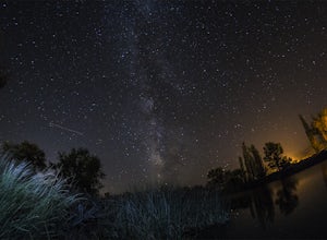
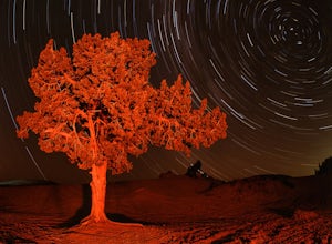
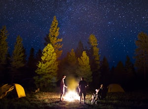
3.0Pulling into Mona Reservoir and Burraston Ponds you will see some trees to hang up a hammock and have a relaxing afternoon and evening. The bonus is that there's an awesome Mona Rope Swing, which makes this a great place to cool off during summer. Make sure to look up at night because the milky ...Read more -
Nephi, Utah
Andrew's Ridge to Mt. Nebo (South Peak)
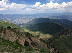
8.67 mi / 5400 ft gainAndrew's Ridge to Mt. Nebo (South Peak) is an out-and-back trail where you may see wildflowers located near Nephi, Utah.Read more -
Payson, Utah
Mount Nebo via North Rim Trail
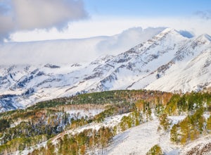
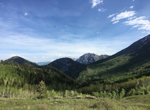
4.58.6 mi / 2897 ft gainMount Nebo is the tallest of all the mountains in the Wasatch, and also one of the easiest to hike, due to the fact that the trail begins at an elevation of ~9300 ft. The parking area for the trailhead is along a short dirt road, which is precisely marked on the location map. The trail itself is...Read more -
Payson, Utah
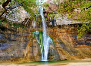
Grotto Falls
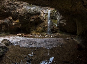
4.00.54 mi / 144 ft gainHeading in the canyon you will drive along a winding road for a while until you pass through a gate (Closed during Winter, this is where you will need to pull over and continue down the road on foot) about a mile up you will see a trailhead on the left called "Bennie Creek" and right after you wi...Read more -
Fountain Green, Utah
Maple Canyon Arch Loop
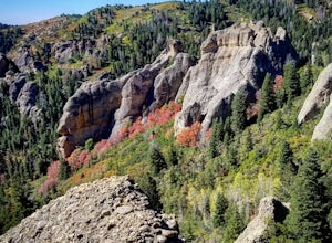
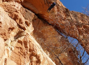
2.78 mi / 1332 ft gainIf you’re a rock climber, you probably know all about Maple Canyon. It’s unique conglomerate walls attract climbers from all over the world. It’s a Mecca of sorts. The beautiful canyon contains some outstanding hiking as well and this adventure will give you a taste of the entire canyon. The tra...Read more -
Juab County, Utah
Photographing Little Sahara Recreation Area
5.0What I used: An old Nikon D80 that was converted into an infrared camera. The infrared camera can be used to create some unique images. The monochrome images that I uploaded were created with the IR camera.NIkon D7000. I used these for the night shots with milky way. The images were created using...Read more -
Fountain Green, Utah
Climb at Maple Canyon
Regardless on whether you're northbound / southbound, jump on I-15 and take exit 225 in Nephi. Head east. Continue on this road (100 N) for 14 miles. Then, turn right on 400 S and after a 1/2 mile turn left onto West Side Road. This road will take you along a bunch of farmlands. After about 6 mil...Read more -
18899-19003 U.S. Highway 89, Utah
Visit the Flooded Thistle Ghost Town
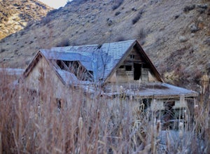
3.0Thistle, Utah was a small community located in Spanish Fork Canyon, founded in 1883. It flourished for a time as a ranching community and eventually became a major stop on the rail line that ran through it. This all changed in 1983 when a massive landslide dammed the Spanish Fork River and floode...Read more -
Saratoga Springs, Utah
Photograph the Sunrise at Utah Lake
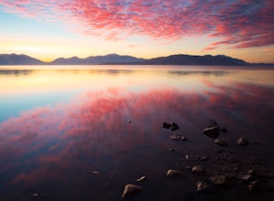
4.0Turn off Highway 68 onto a dirt road towards Utah Lake. You'll see a large sign on your left and a small hill with ATV trails in the distance on your right. Follow the dirt road straight down past the hill. After veering right you can park down fairly close to the water's edge. The dirt road is f...Read more -
Springville, Utah
Maple Mountain (aka Spanish Fork Peak)
10.56 mi / 4524 ft gainThe trail starts out very easy, but keep an eye out for the fork in the trail at the creek. It's easy to miss. It's right at the metal bench that will be on the left. Cross the creek and continue another quarter mile or so when you'll notice another branch to your left. Keep going straight here a...Read more -
Springville, Utah
Rappel the Red Ledges
4.01 mi / 180 ft gainThis is a sweet spot to go rappelling near Spanish Fork, UT. It's located at the Red Ledges in Diamond Fork Canyon. There is a picnic area, grill and restrooms near the base. The unique formations are beautiful to hike around and fun to rappel down. The hike is pretty short, but steep. We did...Read more -
Provo, Utah
Hike to the Summit of Buckley Mountain
4.018 mi / 5000 ft gainThere are a few ways to get to the top of Buckley, but the funnest (and most strenuous) way to get up to Buckley is taking the trail up Slate Canyon. Slate Canyon has a parking lot and bathroom located at the base of the trail, and the trailhead is about ten minutes from the Provo Center Street e...Read more -
Utah County, Utah
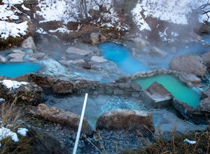
Diamond Fork (Fifth Water) Hot Springs
4.44.63 mi / 663 ft gainWhen you hike out to Diamond Fork aka Fifth Water hot springs, get ready for an amazing experience! The lower fall is visible from the main pool. If you want to continue to go further up the creek, you will run into the second fall, which is the most photogenic of them all. There are also two poo...Read more -
Provo, Utah
The Y Trail
3.52.29 mi / 1063 ft gainHiking the Y is a classic hike in Provo, Utah—but don't expect it to be easy! There's no shade and not much greenery, so it's a hot, dusty trek to the top. Once you reach the Y, though, the view of the Provo and Utah Lake is amazing. There are also benches at the top. When you reach the Y, you w...Read more -
Provo, Utah
Hike to Buckley's Abandoned Mine
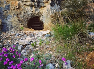
4.63 mi / 200 ft gainOnce you reach the mine it's gated but you can slide in. Follow the main tunnel a hundred or so feet back and climb the 75 foot ladder up to the second level. You can then make your way back out to the cliff face where there is another gate to the outside. That gate is a little trickier to squeez...Read more -
Provo, Utah
Hike Squaw Peak
4.57.1 mi / 2700 ft gainSquaw Peak Trail is a great hike if you live in Provo, since it is a quick getaway. But still definitely worth the trip if you don't. This 7.1 mile hike has beautiful views and does not long to do Usually it takes about three hours from start (Rock Canyon) to finish (the Peak) at a decent clip. T...Read more
Top Activities
Camping and Lodging in Juab County
Nephi, Utah
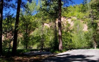
Ponderosa Uinta
Overview
Ponderosa Campground is nestled in scenic Bear Canyon just off the Nebo Loop Scenic Byway at an elevation of 6,200 feet. Nephi, ...
Nephi, Utah
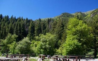
Bear Canyon
Overview
Bear Canyon Campground is situated on the boundary of the Mount Nebo Wilderness Area just off the Nebo Loop Scenic Byway at an e...
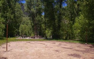
Payson, Utah
Tinney Flat
Overview
Tinney Flat Campground is located in scenic Santaquin Canyon, just 9 miles from town at an elevation of 7,000 feet. Visitors enj...
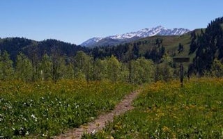
Fairview, Utah
Blackhawk
Overview
Blackhawk Campground sits just off the Nebo Loop Scenic Byway at an elevation of 8,000 feet. Visitors enjoy the campground for i...
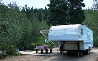
Salem, Utah
Payson Lakes
Overview
Payson Lakes Campground is a local favorite, located just 12 miles from Payson, Utah. Visitors love the campground for its great...
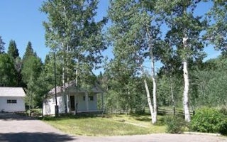
Payson, Utah
Payson Lakes Guard Station
Overview
Payson Lakes Guard Station is located in the Uinta National Forest, approximately 13 miles south of Payson, Utah, along the Moun...

