Bluff City, Tennessee
Top Spots in and near Bluff City
-
Bluff City, Tennessee
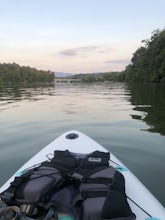
Kayak or SUP the South Fork
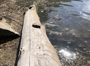
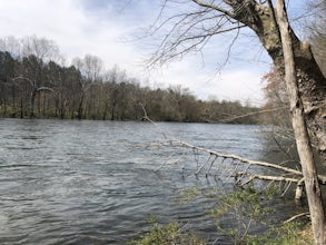
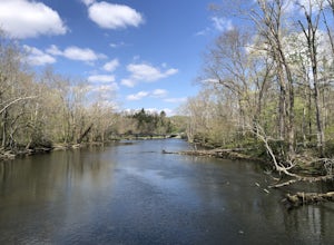
5.0There is a mud parking area on Lakeview Drive underneath the 11E bridges with a cleared mud parking area with access to the the South Fork of the Holston River. There is a gradual drop to the water where kayaks, canoes, or SUPs can be placed in the water. To the east, the river is more narrow at ...Read more -
Bluff City, Tennessee
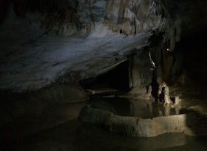
Spelunk Worley's Cave
5.03.5 mi / 100 ft gainWorley’s Cave, also known as Morrill Cave, lies just outside of Boone across the Tennessee border. It is the second longest cave in the state of Tennessee at a whopping 4.4 miles in total length. It is a non-lit cavern that’s path is lit only by those who venture in its depths (i.e. headlamps, la...Read more -
Bristol, Tennessee
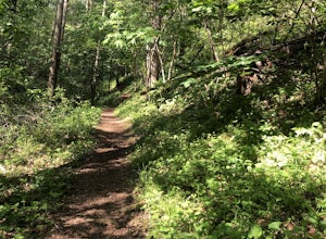
Lake Ridge Trail to Cross Ridge Trail Loop
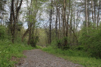
5.04.68 mi / 1368 ft gainLake Ridge Trail to Cross Ridge Trail Loop is a loop trail that takes you through a nice forest located near Bristol, Tennessee.Read more -
Bristol, Tennessee
Lake Ridge Trail and Lakeside Trail
5.04.56 mi / 669 ft gainLake Ridge Trail and Lakeside Trail is a loop trail that takes you through a nice forest located near Bristol, Tennessee.Read more -
Bristol, Tennessee
Powerline Trail and Lakeside Trail Loop
4.03.77 mi / 797 ft gainPowerline Trail and Lakeside Trail Loop is a loop trail that takes you through a nice forest located near Bristol, Tennessee.Read more -
Johnson City, Tennessee
Kayak or SUP at Picken’s Bridge
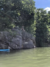
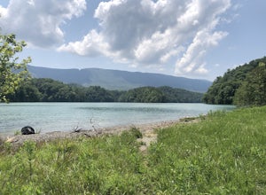
5.0Picken's Bridge has a parking area and boat drop that is accessible to place kayaks or paddle boards. From the boat drop there is a large open area of the lake to paddle around and explore. Northwest from the boat drop there are some cliffs that can easily be climbed up to cliff jump. Please rem...Read more -
Bristol, Tennessee
Emmett Trail
5.02.16 mi / 194 ft gainThe Emmett Trail is one of the TVA South Holston Tailwater Trails. This trail began as a footpath created by anglers. The trail now has gravel, which makes for easier access for families and pets. The trailhead begins on Piney Hill Road where it the traverses down to the waters edge and leads to ...Read more -
Bristol, Tennessee
Bouton Loop Trail
5.01.45 mi / 157 ft gainThe Bouton Trail Loop is an approximately 1.5 mile round trip on TVA land. There is a gravel parking lot with an information sign and trail map. Sections of the trail are gravel and sections are dirt. There are multiple places along the trail that cut off and lead down to the river for prime fish...Read more -
Bristol, Tennessee
Tailwater Trail
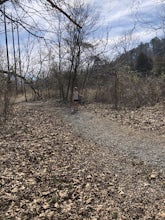
5.00.95 mi / 30 ft gainThe TVA Tailwater Trail is a 0.5 mile trail along the east side of South Fork Holston River. The trail is dirt and ends in an incline. Along the edge of the river, there are views of the distant Holston Mountain. This trail provides access to the river for fishing. It is located near the Emmett T...Read more -
Bristol, Tennessee
Osceola Island Loop
5.01.52 mi / 95 ft gainThe Osceola Island Loop is a 1.50 mile gravel loop on an island in the South Holston River. There are multiple benches along the loop to stop and observe the wildlife. Fishing is a common activity along the edge of the trail. There is a large parking area and bathrooms at the start of the trail.Read more -
Bristol, Tennessee
Spillway Trail
5.03.54 mi / 869 ft gainSpillway Trail is an out-and-back trail that takes you by a lake located near Bristol, Tennessee.Read more -
Bristol, Tennessee
Explore the South Holston Dam
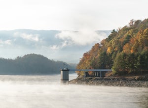
5.0Coming from US-421 turn off on Emmett Rd and keep left to get on Holston View Dam Rd and continue straight on this road by the river. There are parking spaces by the river below the dam and short easy trails to walk on next to the river. You’ll see fly fishers in the river below the dam on early ...Read more -
Elizabethton, Tennessee
Flint Mill Trail
5.02.44 mi / 1302 ft gainFlint Mill Trail is an approximately 2.4 mile out-and-back trail in the Cherokee National Forrest. The trailhead is located on Flatwoods Road in Elizabethton, TN. The trail has a rather steep incline and is considered challenging. There is a 1,264 foot altitude change from the base to the top . T...Read more -
Elizabethton, Tennessee
Climb at Blue Hole Falls
3.70.1 mi / 0 ft gainFrom TN 91, turn onto Panhandle Road. Follow Panhandle for 1 mile and park in the parking lot to the left. Waterfall Follow the path to your right downwards until you encounter wooden stairs. The main waterfall will be to your right less than .1 mile from the parking lot. There are two other wat...Read more -
Elizabethton, Tennessee
Kayak at Wilbur dam
Great spot for kayaking! There is a small waterfall across the lake. The water is very still. Great for kayaking. The spot is somewhat hidden so not many people know about it. There are never many people there. It is a beautiful lake with amazing views. There is also a small picnic area in front ...Read more -
Johnson City, Tennessee
Bike the Tweetsie Trail
3.320 miThe course gravel trail begins just east of downtown Johnson City. The trail maintains a flat grade throughout the 10 miles towards the city of Elizabethton. There are restrooms 3 miles in from the Johnson City trailhead. You can also park at Lions Field in Elizabethton and head west towards John...Read more
Top Activities
Camping and Lodging in Bluff City

Blountville, Tennessee
Bristol / Kingsport KOA Holiday
Settle into the Bristol/Kingsport KOA, nestled in the foothills of the Appalachians. Discover Davy Crockett's birthplace along the Nolich...
Hampton, Tennessee
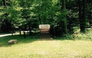
Dennis Cove Campground
Overview
Dennis Cove Campground will close for the season on Monday, October 14, 2019. Dennis Cove Campground is a secluded campground a...
37692
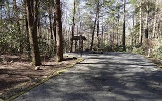
Rock Creek Recreation Area
Overview
Rock Creek Recreation Area is named for the small creek that runs alongside this recreation site. The facilities, creek-fed co...

/united-states
Jonesborough / Cherokee NF KOA Journey
Family friendly campground directly on the banks of the Nolichucky River where relaxation is required.
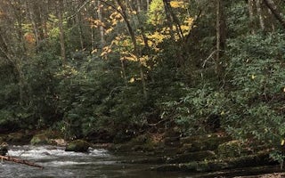
Shady Valley, Tennessee
Backbone Rock Campground
Overview
Backbone Rock Campground will close for the season on Monday, October 14, 2019. Backbone Rock Campground is a small campground ...
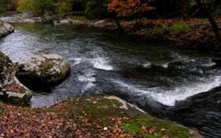
Coeburn, Virginia
Flatwoods Group Picnic Area
Overview
Flatwoods Group Picnic area is a secluded site surrounded by forest. It is a great facility for family reunions, organization ac...

