Linn County, Oregon
Top Spots in and near Linn County
-
Foster, Oregon
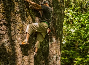
Bouldering on the Siren
This boulder is to the right of Garden Variety...if you know then you know.An excellent problem with a lot of movement. Works up the stand alone prow near Garden Variety. Start low and heal out right on a good ledge. From there work up to the inverted V pinch and left to the arete. From there it ...Read more -
Cascadia, Oregon
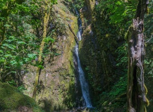
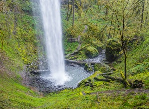
Hike to Soda Creek Falls
5.01.5 mi / 370 ft gainSoda Creek Falls flows 150 feet down a curvy basalt rock groove at Cascadia State Park. The trail follows Soda Creek through a lush Oregon rain forest. The site was a former hotel and health spa with the mineral water from the creek as the main attraction. The park has a small campground, and pic...Read more -
Lebanon, Oregon
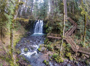
Hike McDowell Creek County Park
4.9GPS coordinates Lat: 44.46389 Long: -122.68278Exit off I-5 in Albany onto Highway 20 and proceed for approximately 20 miles to McDowell Creek Road and turn left, follow McDowell Creek Road - watching for signs for the park - for about 6 ½ miles, to the first of three parking areas within the park...Read more -
Sweet Home, Oregon
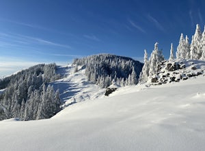
Horse Rock Ridge Research Natural Area
5.03.74 mi / 951 ft gainHorse Rock Ridge Research Natural Area in Sweet Home, Oregon, offers a unique hiking trail that spans approximately 3.74 miles. The trail is moderately difficult, with an elevation gain of 951 feet, making it suitable for intermediate hikers. The trail begins in a dense forest of Douglas fir and ...Read more -
Foster, Oregon
Iron Mountain
4.71.79 mi / 610 ft gainGetting There There are a couple of different routes to the summit of Iron Mountain. This adventure article focuses on the shorter but more strenuous hike to the summit of Iron Mountain. To get there, drive to the upper trailhead (Trail # 3389) via Highway 20. Take Forest Service Road (FSR) 035 ...Read more -
Foster, Oregon
Hike the Middle Pyramid
4.5The Three Pyramids, half as tall as the better-known Three Sisters, are beautiful U-shaped glacial valleys, remnants of the Ice Age.To reach the top of Middle Pyramid, leave from the #3380 trailhead at the west end of the parking area. Early on there is a creek crossing (the bridge was still wash...Read more -
Linn County, Oregon
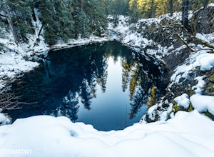
Tamolitch Blue Pool
5.03.56 mi / 253 ft gainThe hike out to Tamolitch Pool, or "Blue Pool," is 2 miles each way and follows the McKenzie River to a lava flow pool. Off Highway 126 14 miles east of McKenzie Bridge, turning into the Trailbridge Campground, drive right 1/3 of a mile to the trailhead. The trail is relatively flat, which gives ...Read more -
Linn County, Oregon
Mountain Bike the McKenzie River Trail
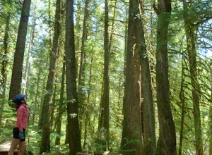
26 mi / -2200 ft gainMountain biking the McKenzie River Trail should be on every serious mountain biker's to-do list, since this trail has repeatedly been cited as the best mountain biking in the United States. The whole trail is an all-day, 26 mile epic, losing 2200 feet of elevation as it parallels the McKenzie Ri...Read more -
Lane County, Oregon
Bigelow Hot Springs
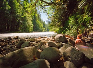
2.0Unlike many other springs you'll find, this pool has basically no barriers to entry – it is accessible via a short hike, has no fee, and is available year-round. While the temperature is less than 100 degrees, the scenic surroundings make up for the slightly less than hot water.Read more -
Sisters, Oregon
Hike around Clear Lake
4.74 miOnce you arrive at Clear Lake, I suggest to start the relatively flat hike around the lake. You'll walk through a beautiful forest with peek-a-boo views of the stunning lake. The hike around the full lake may take a few hours, so if you're not staying the night, make sure you have enough time to ...Read more -
Linn County, Oregon
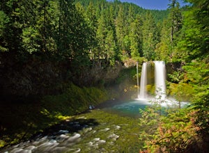
Koosah Falls Trail
5.00.86 mi / 180 ft gainKoosah Falls Trail is an out-and-back trail that takes you by a waterfall located near Sisters, Oregon.Read more -
Sisters, Oregon
Sahalie and Koosah Falls Loop
4.82.42 mi / 545 ft gainThis loop might be on the shorter side, but the hike is more than worth it for the scenery. Start at Sahalie Falls, a 100-foot tall waterfall pouring into the river below and covering the moss-covered valley with cool mist. Continue down the trail, walking past the 70-foot Koosah Falls, and finis...Read more -
Lane County, Oregon
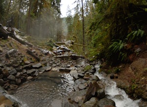
Terwilliger (Cougar) Hot Springs
4.20.9 mi / 249 ft gainSoaking in Terwilliger (otherwise known as "Cougar") hot springs is a great way to relax and wind back while exploring the Cascades. A spring flows from a small cave and cascades into multiple pools leading down a small gully, creating pools which have varying temperatures from hot (closer to the...Read more -
Linn County, Oregon
Coffin Mountain Fire Lookout
5.02.67 mi / 873 ft gainCoffin Mountain Fire Lookout is a beautiful day hike that takes you to its summit at 5771 feet elevation, covering roughly 1070 feet elevation gain. To get to the Coffin Mt. trailhead from Detroit OR, travel east on Highway 22 for approximately 19.5 miles to Forest Road 11 (Straight Creek Road)....Read more -
Stayton, Oregon
Shellburg Falls
3.23.7 mi / 520 ft gainThis hike is currently closed due to fire damage. Please check the Oregon.gov website or the call the Oregon Department of Forestry (503-859-4344) for updates. The hike, including the initial 1.25 mile gravel road to the trailhead, is easy to complete within 1-2 hours and only requires a modera...Read more -
Sisters, Oregon
Snowshoe to the Mountain View Shelter
5.04 mi / 500 ft gainA short hike from the sno-park, the snow shelter is within an hour's reach of the trailhead. Make sure to print a trail map of the area's routes ahead of time, or take a picture of the map provided in the parking lot, as the network of trails can get you a little lost.From the parking lot, make s...Read more
Top Activities
Camping and Lodging in Linn County
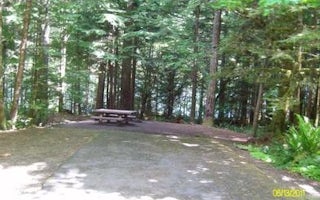
Lane County, Oregon
Mona
Overview
Known for fishing, boating, canoeing and other water sports, Mona campground is located on the northwest shore of Blue River Res...

Marcola, Oregon
Shotgun Creek Recreation Site
Overview
The refreshing location with its lush, forest setting, coupled with comforts normally associated with an urban park, blend seaml...
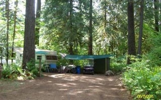
Lane County, Oregon
Delta
Overview
Known for its access to rafting and drift boat fishing on the McKenzie River, Delta campground, located along a portion of the W...
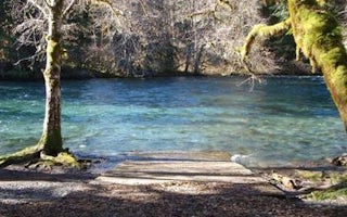
Lane County, Oregon
Mckenzie Bridge
Overview
McKenzie Bridge Campground is located an hour east of Eugene, Oregon. It rests in the shade of a towering grove of Douglas fir a...
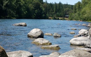
Mill City, Oregon
Fishermens Bend
Overview
Nestled along a forested curve of the North Santiam River, Fishermen's Bend site is popular with both families and large groups....
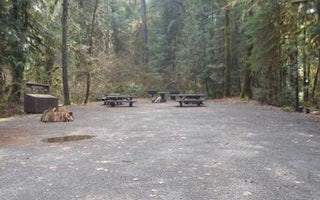
Lane County, Oregon
Horse Creek Group Campground
Overview
Horse Creek Group Campground is located on the banks of Horse Creek. The rushing water and tall Douglas fir trees offer a cool, ...

