Warsaw, Ohio
Top Spots in and near Warsaw
-
Howard, Ohio
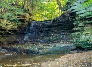
Photograph Honey Run Waterfall
4.0Getting to Honey Run Falls is incredibly easy! There are two parking lots for the park, one on the west side of the road for the Honey Run Highlands, and one on the east side of the road in the forest for the falls. From the forest parking lot, follow the trail south for roughly 500 ft until you ...Read more -
Heath, Ohio
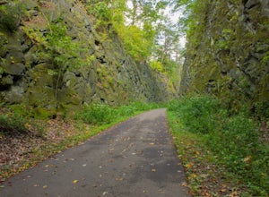
Blackhand Trail
8.6 miBoth the eastern and western trailhead have ample parking and access to the Blackhand Trail, which winds its way along the banks of the Licking River for a 4.3 mile one way trip. While the trail isn't terribly long, it makes up for it in its scenery, staying within eyesight of the Licking River...Read more -
Heath, Ohio
Hike the Quarry Rim-Chestnut Trail
5.06 mi / 400 ft gainStarting at the eastern trailhead off of Gratiot Rd, follow the paved Blackhand Trail for 0.2 mile till you arrive at the sign of the Quarry Rim Trail, a 0.9 mile trail that roughly parallels the bike trail, but takes you along the rim of the old sandstone quarry that was in operation in the late...Read more -
Perrysville, Ohio
Photograph Clear Fork Gorge
The hardest part of this adventure is finding parking, especially on a late October afternoon. There's two different observation decks to take photos of the gorge from, and both have excellent views of the overall gorge. Having grown up just up the road from Mohican State Park, "The Gorge" has al...Read more -
Perrysville, Ohio
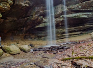
Hike the Pleasant Hill Lyons Falls Loop
5.02.75 miTo get to this trail you can go to the Dam that is a part of Pleasant Hill Lake and there is a parking area across the street. After you start walking you reach signs that will ask where you want to go, either to the covered bridge or to the Lyons Falls.By going towards the covered bridge first y...Read more -
Perrysville, Ohio
Photograph Mt. Jeez
3.0While it might not seem like much, Mt. Jeez stands 1,310' feet above sea level, making it one of the higher "peaks" in Ohio. Because of that, it's one of the few spots in the Buckeye State that allow for grand, sweeping vistas with a 270 degree view for a few miles in most directions. Originally ...Read more -
Massillon, Ohio
Sippo Valley Trail
9.64 mi / 361 ft gainSippo Valley Trail is a point-to-point trail where you may see beautiful wildflowers located near Massillon, Ohio.Read more -
Westerville, Ohio
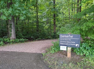
Hike the Overlook-Hickory Ridge-Brookside Trail
4.01.6 miThis gravel woods path at Blendon Woods Metropark, just over 1.5 miles, is perfect for a quick hike when visiting the city! You may be close to Ohio's capitol city, but you feel far away in the woods of this park. Come into the main entrance and turn right at the Ranger Station. Park near the n...Read more -
Columbus, Ohio
Blendon Woods Loop
1.97 mi / 112 ft gainBlendon Woods Loop is a loop trail that takes you through a nice forest located near Columbus, Ohio.Read more
Camping and Lodging in Warsaw
Coshocton, Ohio
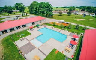
Coshocton KOA Holiday
Immerse yourself in the idyllic countryside at Coshocton KOA. Your family will enjoy the brand-new swimming pool, themed weekends and gre...
Zanesville, Ohio
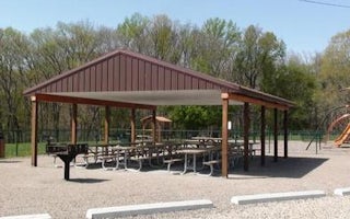
Dillon Lake Group Picnic Shelter
Overview
Dillon Lake is approximately six miles northwest of Zanesville, Ohio, and twenty miles east of Newark, Ohio. Access to the lake ...
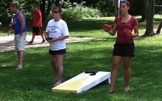
Butler, Ohio
Butler / Mohican KOA Journey
Time stands still here in Amish Country, a lush landscape of rolling hills and quiet country roads where farms are still worked with hors...

Buckeye Lake, Ohio
Buckeye Lake / Columbus East KOA Holiday
Imagine having the center of Ohio at your doorstep: the Ohio Statehouse, Ohio State University, German Village, Longaberger Homestead, Am...
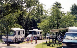
East Sparta, Ohio
Canton / East Sparta KOA Holiday
Also called Bear Creek Ranch, this quiet, rural 300-acre campground has a Western flair, with guided horseback rides along wooded trails ...
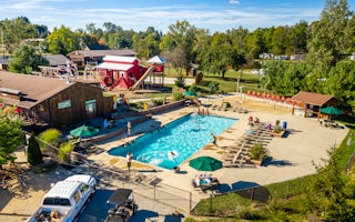
Sunbury, Ohio
Sunbury / Columbus North KOA Holiday
OUR CAMPGROUND Our beautiful KOA shines with Appalachian mountain charm! We are a seasonal park, open April 12TH - October 20TH, 2019. T...

