Fillmore, New York
Looking for the best hiking in Fillmore? We've got you covered with the top trails, trips, hiking, backpacking, camping and more around Fillmore. The detailed guides, photos, and reviews are all submitted by the Outbound community.
Top Hiking Spots in and near Fillmore
-
Castile, New York
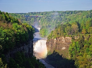
Inspiration Point and Lower Falls via Gorge Trail
3.96 mi / 610 ft gainInspiration Point and Lower Falls via Gorge Trail is an out-and-back trail that takes you by a waterfall located near Portageville, New York.Read more -
Hunt, New York
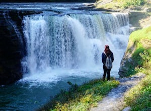
Hike the Gorge Trail in Letchworth State Park
5.07 miThere are over 66 miles of trails to explore at Letchworth State Park; however, the most popular and the one I chose is the Gorge Trail. This trail runs 7 miles from point-to-point passing by three lovely waterfalls. It travels parallel to the main road for the majority of the hike. You can star...Read more -
Perry, New York
Camp at the Highbanks Campground (Letchworth State Park)
4.0The Highbanks camping area is located on northern end of the park. Entering the park from the Mount Morris the camper registration will be 6 miles in on Park Road.Pick up a park map and choose some of the many sites to explore whether it is hiking or just driving through the park to some of road...Read more -
Mount Morris, New York
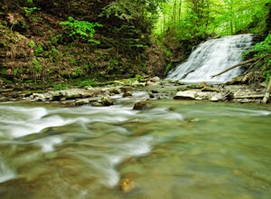
Hike to Papermill Falls
4.00.75 miThe trail is marked as #19 on Letchworth State Park maps also known as Gibsonville Trail. The trailhead is located in the northern section of the park between the Highbanks Recreation area and the Highbanks Tent and Trailer camping. There is parking just north of the bridge that crosses the Sil...Read more -
Dansville, New York
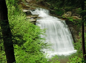
Stony Brook Via East Rim and Gorge Trails
3.02.34 mi / 669 ft gainStony Brook Via East Rim and Gorge Trails is a loop trail that takes you by a waterfall located near Arkport, New York.Read more -
Orchard Park, New York
Hike to Eternal Flame Falls in Chestnut Ridge Park
4.01.5 miI'd heard two things about this particular waterfall before seeing it: the flame isn't always lit (so bring a lighter) and the current depends on the rain. Parking was simple; the falls is in the corner of Chestnut Ridge Park and there are many entrances, but the hike itself has it's own parking...Read more -
Canandaigua, New York
Uplands Hiking Trail along Barnes Gulley
5.00.93 mi / 138 ft gainOnanda Park is a great place for large groups and family get-togethers—there's a lake to swim in, fields open for sports, trees for hammocks, lots of parking spaces, and trash receptacles and bathrooms nearby—but don't stop there! Right across West Lake Road is the entrance to Barnes Gulley, a be...Read more

