Silver Peak, Nevada
Top Spots in and near Silver Peak
-
Silver Peak, Nevada
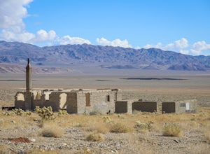
Explore the Ghost Town of Blair, Nevada
During a boom in gold mining around the towns of Tonopah and Goldfield, Nevada, a mining town called Silver Peak was established about 25 miles west of Goldfield. Land speculators purchased much of the area surrounding Silver Peak, and when the Pittsburg-Silver Peak Gold Mining Company sought a s...Read more -
Bishop, California
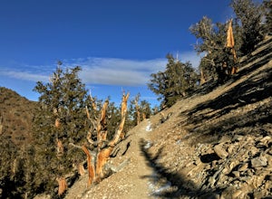
Patriarch Grove Trail
0.44 mi / 95 ft gainPatriarch Grove Trail is a loop trail where you may see wildflowers located near Bishop, California.Read more -
Bishop, California
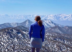
Climb White Mountain Peak
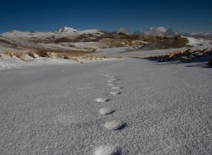
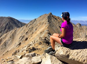
4.314 mi / 2000 ft gainNot surprisingly, White Mountain Peak is the apex of the White Mountains, which rise out of the desert floor just north of Death Valley. The White Mountains were aptly named as they are frequently covered in snow.The trailhead starts at 12,000ft and winds it's way over a few hills before the fina...Read more -
Mineral County, Nevada
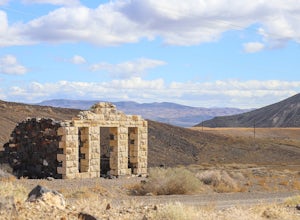
Explore Candelaria Ghost Town
The ghost town of Candelaria lies in rural Nevada, where desolate two-lane highways give way to even quieter roads of broken up pavement. Once a booming silver town, Candelaria's isolated location is somewhat to blame for it having become the empty unpopulated place it is today. Originally settle...Read more -
Inyo County, California
Methuselah Trail
5.03.96 mi / 768 ft gainMethuselah Trail is a loop trail where you may see wildflowers located near Bishop, California.Read more -
Inyo County, California
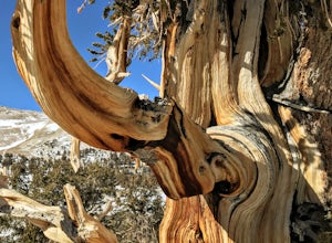
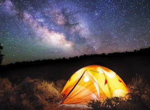
Camp in Ancient Bristlecone Pine Forest
4.0The Ancient Bristlecone Pine Forest is located in Central California quite close to the Nevada Border in the White Mountains. A short drive South from Bishop, you will come to the small town of Big Pine where there are signs leading you left on HWY 168 to the forest. You will need a decent vehicl...Read more -
Inyo County, California
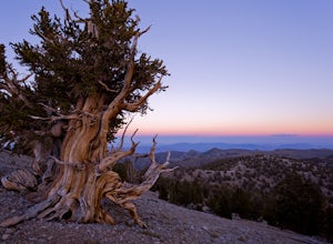
Photograph the Bristlecone Pine Forest
5.0To get to the goods head east out of Big Pine, CA on Hwy 168 into the mountains for 13 miles. Turn left (north) on White Mountain Road to the Bristlecone Pine Forest. The road winds through a beautiful forest of Pinyon Pines and Western Junipers and leads to amazing views of the rugged Sierras. ...Read more -
Inyo County, California
Schulman Grove and Methuselah Grove Loop
5.05.14 mi / 1070 ft gainThe Schulman Grove and Methuselah Grove Loop in the Ancient Bristlecone Pine Forest, located in the White Mountains, is where the 4,847-year-old Methuselah tree grows, the oldest living non-clonal organism in the world. If you're going to make hiking the Methuselah Grove more than a day trip and ...Read more -
Big Pine, California
Trout Fishing in the Owens River
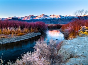
3.0Surrounded by the Sierra Nevada, Inyo, and White Mountains, the Owens River Valley is picturesque and home to some quality trout fishing on the Owens River. If you like to pair photography with fishing then this is the ideal location for you - the color pallet is beautiful, especially in the wint...Read more -
Dyer, Nevada
Hike Boundary Peak
5.010.4 mi / 4000 ft gainBoundary Peak received its name because it straddles the border of California and Nevada. While technically in Nevada, just a few hundred feet away lies its taller neighbor Montgomery Peak (13,442') in California. Many people bag both peaks at once, but the rotten rock and unstable trail make Mon...Read more -
Inyo County, California
Explore Eureka Dunes and Hidden Dunes
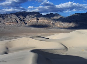
THE HIDDEN DUNES HIKEFrom the well, you will want to hike towards a gap in the mountains off to the West. Hopefully, you were able to see the dunes on the way in as described above to help gauge the direction to head in. A map, or GPS, can make this easier too, but probably isn’t needed. Just oc...Read more
Top Activities
Camping and Lodging in Silver Peak
White Mountain Road
Grandview Campground
Grandview Campground is nestled in low hills covered with Pinyon and Juniper. A large open area in the middle of the campground gives a t...
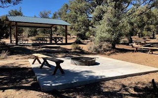
Big Pine, California
Cedar Flat Group Campground
Overview
Cedar Flat Group sites are popular with academic institutions for geology field trips. With no nearby light sources, the night s...

