Superior, Montana
Top Spots in and near Superior
-
Superior, Montana
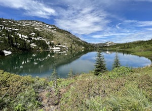
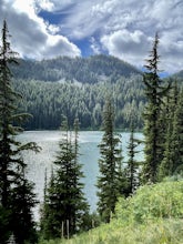
Diamond Lake and Cliff Lake Trail
5.02.82 mi / 692 ft gainDiamond Lake and Cliff Lake Trail is an out-and-back trail that takes you by a lake located near Superior, Montana.Read more -
Superior, Montana
Heart and Pearl Lakes Trail
5.07.66 mi / 1850 ft gainHeart and Pearl Lakes Trail is an out-and-back trail that takes you by a lake located near Superior, Montana.Read more -
Charlo, Montana
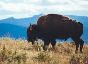
Photograph The National Bison Range
5.0The Bison Range is open year round, however, the road is mostly closed in the winter months, so the best times are the spring, summer or fall.The Range was established in 1908 to help preserve a natural population of the nearly extinct animal. Today, between 350-500 bison roam the hills.You will...Read more -
Clearwater County, Idaho
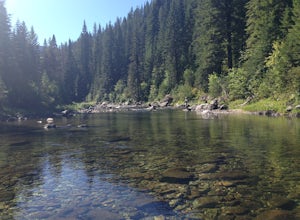
Fly Fish Kelly Creek
If you are looking for world class fishing in Idaho and don't want to deal with the crowds that goes along with Henry's Fork or Silver Creek then this is the spot. You will rarely run into people along this creek. The fishing is extraordinary and you should be able to catch a ton of cutthroat. T...Read more -
Arlee, Montana
Explore Ewam Garden of One Thousand Buddhas
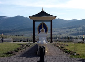
4.0Situated just north of Arlee, MT; the Garden of One Thousand Buddhas is not only extremely relaxing and absolutely beautiful, but it also aligns positive properties of the physical world in a sacred architectural arrangement based on the eight-spoked Dharma wheel. Visitors can relax and enjoy the...Read more -
Saltese, Montana
Ride the Route of the Hiawatha
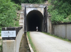
4.715 mi / 1000 ft gainLocated on the Idaho Montana border, this highly popular "rails to trails" mountain bike trail was modified from the Milwaukee Railroad route through the Bitterroot Mountains. This trail contains 10 tunnels and 7 trestles throughout 15 miles of beautiful mountain views.Riders have the option to s...Read more -
Lolo, Montana
Backcountry Snowshoe and Snowboard near Lolo Pass
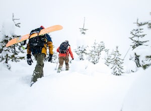
1.03 mi / 1250 ft gainFor this trip, you want to head towards Lolo Pass, which is the landmark of the Idaho/Montana border on Highway 12. This highway's two main towns that it begins and ends at are Lolo, Montana and Lewiston, Idaho. If you are on the Montana side, Crooked Fork Road is just a mere 100 yards from the L...Read more -
Mullan, Idaho
Ski Lookout Pass
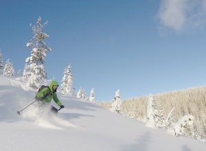
Climb the ridge and ski down to the valley into Montana. The views are amazing and we didn't see too many people out there since it's so close to the resort. Starting at the resort, ride the chair up to the top. Take a run down until you reach the ridge that goes along the Idaho and Montana Borde...Read more -
Avery, Idaho
Saint Regis Lakes
5.02.84 mi / 1247 ft gainSaint Regis Lakes is an out-and-back trail that takes you by a lake located near Mullan, Idaho.Read more -
Florence, Montana
Hike to Skookum Butte Lookout
5.02.6 mi / 930 ft gainThe hike begins on an old jeep road and has no amenities. It crosses through a marshy field and quickly starts climbing upward with switchbacks. Cross over an old spur logging road before ascending into thick forest. Continue on the steep switchbacks through dense evergreens until the rocky out...Read more -
Mullan, Idaho
Hike to Stevens Lakes
5.05 mi / 1780 ft gainTo get to the trailhead, drive east on I-90 to Lookout Pass. Turn right into the pass parking lot and continue on the railroad grade dirt road for approximately 6 miles. You will pass several trailheads, but continue on until you reach a fork in the road and a sign for the Stevens Lakes trailhead...Read more -
47.5312559027141,-115.713715553284, Idaho
Pear Lake Trail
5.04.13 mi / 1204 ft gainPear Lake Trail is an out-and-back trail that takes you by a lake located near Mullan, Idaho.Read more -
Missoula, Montana
Blue Mountain Lookout Deadman Ridge Trail
5.04.79 mi / 840 ft gainBlue Mountain Lookout Deadman Ridge Trail in Missoula, Montana is a moderately challenging hiking trail. The trail spans approximately 4.79 miles, offering a round-trip hike that takes about 3 to 4 hours to complete. The trail is marked by a steady incline, with an elevation gain of 840 feet. T...Read more -
Thompson Falls, Montana
Blossom Lakes Trail
4.05.73 mi / 1299 ft gainBlossom Lakes Trail is an out-and-back trail that takes you by a lake located near Saltese, Montana.Read more -
Wallace, Idaho
Revett Lake
5.03.21 mi / 696 ft gainHeading out to Revett Lake is a 3.2 mile out-and-back hike near Wallace, Idaho. This is a fairly popular trail with people heading to the lake to fish and to camp. Summer to early fall makes for the best time of year to head out on this trail. The trail is dog-friendly on leash. Local Ranger ...Read more -
Kooskia, Idaho
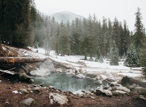
Jerry Johnson Hot Springs
5.02.64 mi / 348 ft gainNote: crampons and hiking poles are a necessity for navigating this trail in the winter months. The trail can be steep in some places and very icy. Serious note: This area is used very frequently, resulting in abuse of the land. There is a problem with trash and clothing left behind. For this r...Read more
Top Activities
Camping and Lodging in Superior
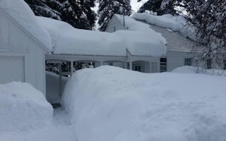
Superior, Montana
Savenac West Cottage
Overview
Savenac West Cottage provides a well-equipped kitchen and sleeping quarters for a family or small group of four people at the Sa...
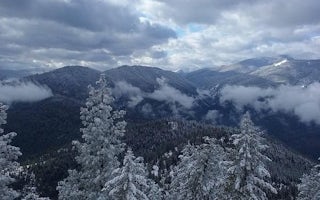
Superior, Montana
Thompson Peak Lookout Tower
Overview
Thompson Peak Lookout provides great views of the Clark Fork Valley, the town of Superior, the Idaho state line and, of course, ...
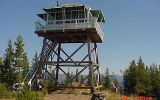
Avery, Idaho
Arid Peak Lookout
Overview
Arid Peak Lookout was built in 1934 to help detect fires that may have been sparked by the Milwaukee Railroad Line. It was last ...
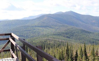
Saltese, Montana
Up Up Lookout
Overview
Up Up Lookout is 40 feet tall and perched on a beautiful rock pinnacle in the Bitterroot Mountains of western Montana. It is clo...
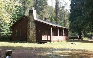
Avery, Idaho
Red Ives Cabin
Overview
Red Ives Cabin is a popular location in the Idaho Panhandle National Forests. It served as the Ranger Station for the Red Ives R...
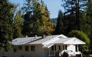
Saint Regis, Montana
Savenac Cookhouse
Overview
Savenac Cookhouse provides cooking and eating accommodations for large groups staying at the Savenac Historic Tree Nursery in th...

