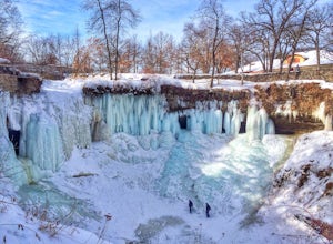
Welch, Minnesota
Top Spots in and near Welch
-
Welch, Minnesota
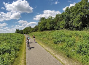
Bike the Cannon Valley Trail
4.019.7 mi / -115 ft gainThere are multiple entry points to the Cannon Valley Trail along the 19.7 miles of paved path that connect the towns of Cannon Falls and Red Wing. Because the trail requires a $4 daily pass, pick your entry point next to a Wheel Pass station. The most elaborate entry point is via the town of Welc...Read more -
Welch, Minnesota
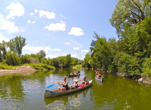
Paddle the Cannon River
5.0If you want a quiet, secluded paddle, this may not be the adventure for you. The Cannon River is a very popular destination in the summer months for groups of canoers, kayakers and tubers. Drinking on the river is not discouraged.Book a reservation with Welch Mill. They provide shuttle service, l...Read more -
Red Wing, Minnesota
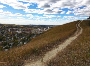
Hike Barn Bluff
3.02.05 mi / 340 ft gainBarn Bluff in Red Wing, Minn., is an enjoyable and easily-accessible hike. Even at a slow pace, it takes just 30-45 minutes to reach the peak.There is ample parking on 5th Street near the Barn Bluff sign. Take the stairs to the trail head. From there, you'll have a few trail options:1) South Trai...Read more -
Hastings, Minnesota
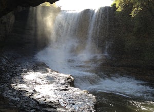
Walk to Vermillion Falls
4.52 miBegin in the Old Mills parking lot located on 18th Street E. Head south along the paved trail running parallel to the railroad tracks. This trail is part of a 10-mile loop that leads out of the park and past the banks of the Mississippi. In approximately ½ mile, you’ll cross a long, wooden bridge...Read more -
Cottage Grove, Minnesota
Hike the Grey Cloud Dunes Scientific and Natural Area Loop
3.83 mi / 110 ft gainGrey Cloud Dunes Scientific and Natural Area, the largest intact prairie system located within the Twin Cities, is home to a number of rare plants and animals. The SNA has no marked or maintained trails, but there are a few well-worn footpaths that create an easy-to-follow three mile loop through...Read more -
Hastings, Minnesota
Hike the Afton State Park Trail
3.63.5 mi / 740 ft gainThis diverse, 2,702-acre park has trails for both day hikers and backpackers – some with scenic views of the St. Croix River, others which drop into quiet ravines. For the best views of the valley, explore off-trail, where you may find hidden bluffs with panoramic views.The park also offers horse...Read more -
Nerstrand, Minnesota
Hike Nerstrand-Big Woods State Park
3.311 miCurious about what Minnesota looked like in pre-settlement times?Then spend the day hiking through Nerstrand-Big Woods State Park, a botanical reserve for the temperate hardwood forest that once covered much of central Minnesota. Located 45 miles south of Minneapolis, the park offers the opportun...Read more -
Stockholm, Wisconsin
Hike to the Top of Maiden Rock Bluff
5.01 mi / 400 ft gainIt's easy to spot Maiden Rock Bluff as you drive along Highway 35: the 400-foot-tall limestone cliff extends for nearly a mile. Getting to the top is also easy. Begin by turning onto County Road E - a twisting, narrow road that leads straight up. Once you're at the top, keep an eye out for Long L...Read more -
Faribault, Minnesota
Straight River Trail and Alexander Park Trail
0.67 mi / 20 ft gainStraight River Trail and Alexander Park Trail is a loop trail that takes you by a river located near Faribault, Minnesota.Read more -
Minneapolis, Minnesota
Bloomington Ferry Trail
5.016.94 mi / 814 ft gainBloomington Ferry Trail is an out-and-back trail that takes you by a river located near Minneapolis, Minnesota.Read more -
Bloomington, Minnesota
Exploring the Minnesota Valley NWR
4.03.5 miIt is 3.5 miles long one-way from the visitors center (3815 American Blvd. East 55425) to Cedar Ave. Bridge. Whether because of the foreword thinking early Minnesota legislators or simply because of the inhospitality of nature, most of the riverfront on both the Minnesota and Mississippi Rivers t...Read more -
Unorganized Territory of Fort Snelling, Minnesota
Hike the Pike Island Loop
4.23.88 mi / 66 ft gainThe Pike Island Loop, located in Fort Snelling State Park, is a beautiful urban hike that circles a lush island at the confluence of the Mississippi and Minnesota Rivers in the heart of the Twin Cities. In fact, Dakota leaders who inhabited this land considered the meeting of the rivers to be the...Read more -
Hudson, Wisconsin
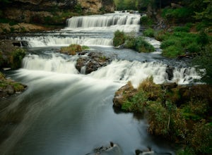
Hike to Willow Falls
4.23 miThis trip through Willow River State Park shows off beautiful views of Little Falls Lake and Willow River on your way to the falls. In the spring, wildflowers won't disappoint. An overall scenic and rewarding hike.Read more -
Hudson, Wisconsin
Burkhardt Trail to Willow Falls Overlook via Pink Trail
2.16 mi / 259 ft gainBurkhardt Trail to Willow Falls Overlook via Pink Trail is a loop trail that takes you by a waterfall located near Hudson, Wisconsin.Read more -
Minneapolis, Minnesota
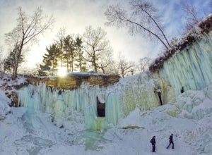
Explore Frozen Minnehaha Falls
3.8Minnehaha Falls Park in South Minneapolis is a big draw during the spring, summer and fall months. Experiencing an urban waterfall and scenic hiking trails in the middle of a major city is a treat. However, come wintertime, the falls freeze and a spectacular scene emerges. Many people flock to th...Read more -
Minneapolis, Minnesota
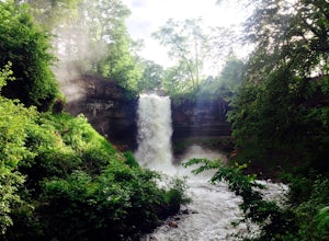
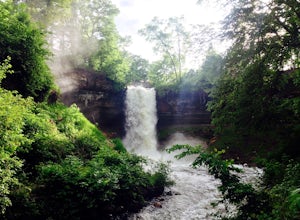
Minnehaha Falls
4.10.73 mi / 128 ft gainNamed after a legendary Native American princess, Minnehaha Creek cascades over a cliff in these dramatic falls just minutes from the downtowns of both Minneapolis and St. Paul. A favorite place for summer picnickers, the falls are beautiful all year long. They are strongest in June after the Spr...Read more
Top Activities
Camping and Lodging in Welch
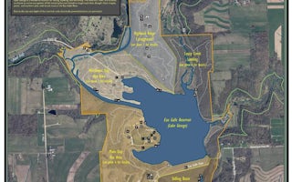
Spring Valley, Wisconsin
Main Day Use
Overview
Main Day Use Are at Eau Galle Lake offers many family-friendly outdoor activities including fishing, boating and hiking, in the ...
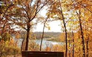
Spring Valley, Wisconsin
Highland Ridge
Overview
Highland Ridge overlooks the sparkling Eau Galle Reservoir located in Spring Valley, in western Wisconsin. The area boasts 648 a...
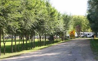
Jordan, Minnesota
Minneapolis Southwest KOA Holiday
Minneapolis Southwest KOA is a perfect retreat for big-city adventure and quiet country pursuits. Create lasting memories at this KOA wit...

Rochester, Minnesota
Rochester / Marion KOA Journey
Did you say you wanted quiet and relaxing? It's hard to believe you're just 1/4 mile off I-90 when you pull into this country setting cam...

